
St Bartholomew’s Church – 1900s
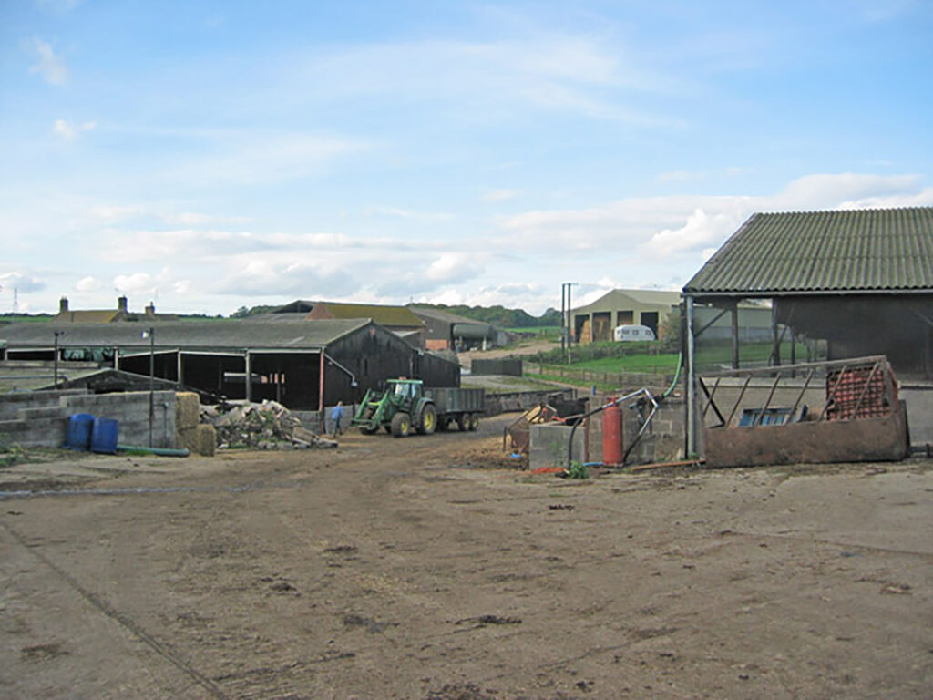
Set on a hill to the north overlooking farmland and Welby Grange Farm, to the south the industrial park of Holwell Works, the St Bartholomew’s Church of Welby is the most isolated church in the Melton Mowbray Borough. “The church is the only medieval building of what was once Welby village, now a lost village,” said Alan Fox, a Victoria County History project researcher. “The church was mentioned in 1220. But the present-day building dates from the 14th and 15th centuries. There were repairs in the 17th century and heavy restorations from 1860 to 1862. With Heritage Lottery Funding, a 2015-restoration reroofed the church, strengthened the walls in danger of collapsing and improved drainage. The church is still in use.”

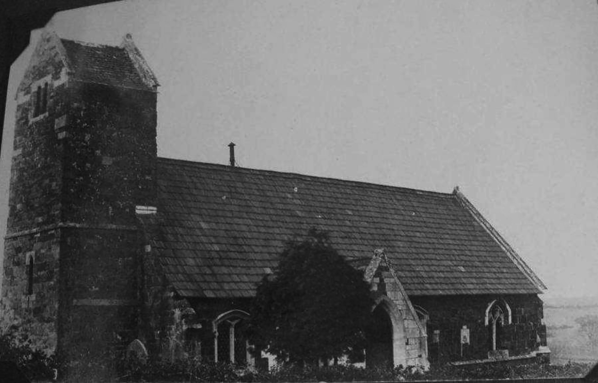
St Bartholomew’s Church – 1792

The 1860s restorations might explain the changes in the appearance of the building from a drawing dated 1792 looking north-west showing the south side of the church. Alan continued: “The noticeable changes include dormer windows replaced, base string work missing on the south-side, south porch rebuilt, gable crosses removed and raised ground level around the porch apparently lowered.”


On the village
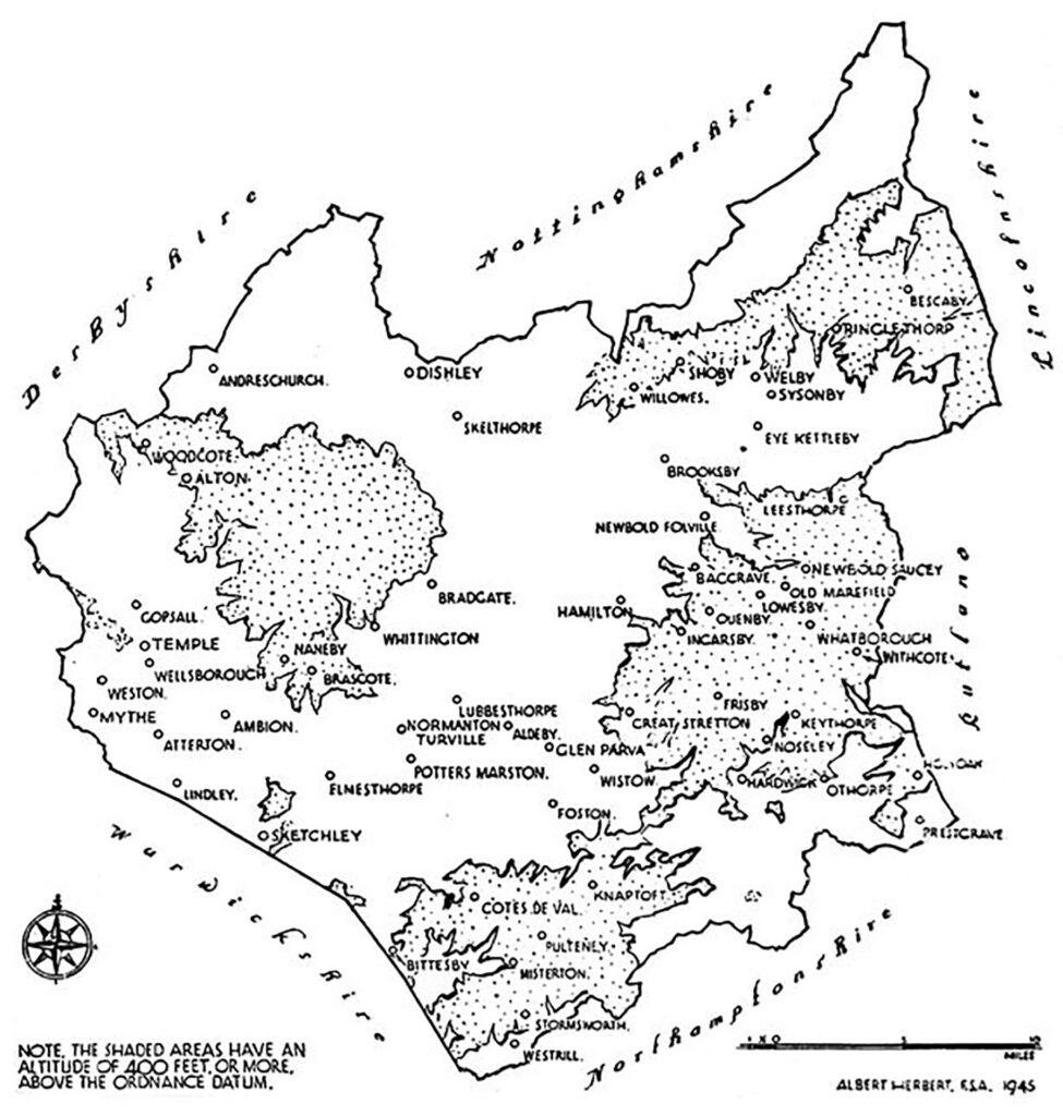
The now deserted village of Welby formed one of the original group of five hamlets – the other four are Burton Lazars, Eye Kettleby, Sysonby and Freeby – which lay round the Anglo-Danish central township of Melton Mowbray. The township was centrally located within the area known as The Five Boroughs of the Danelaw.
There is evidence of the Bronze Age, the Iron Age, and Romano-British activity within a radius of less than half a mile of the Welby church. Groundworks comprise early medieval settlement activity. During medieval times, Welby was a flourishing village with 42 taxpayers in 1377. Depopulation accelerated in the late medieval to the early post-medieval period, following the enclose for pasture or improved arable. The land, 610 acres in total, was held by the lord of the manor, William Digby. He was quite a heartless man and depopulated the Welby settlement, which had thrived for many years, simply to complete his house and estate. Only seven or eight households at the most remained. In 1608 Digby was indicted with depopulation of Welby by the Attorney General in the Court of the Star Chamber. But it was too late for punishment because he had, in the meantime, died.
Alan: “After founding the Holwell Iron Works in 1875, a few remaining buildings in Welby parish were destroyed.” Associated houses for the workforce were built outside Welby parish, starting late 1800s up to the 1930s at Asfordby Hill, and from 1900 in Asfordby Valley. “Meanwhile the waste of the ironworks was encroaching.”

In an aerial view of Holwell Iron Works taken in the 1950s, Welby Road can be seen snaking off mid to top right. Welby Lane from Asfordby Valley is mid left with at the bottom reservoir. Welby Church is top left, a bit to the right are the remains of the Old Hall and even slightly further The Close (farm) with Holwell Tipp – locally called ‘pimple’ – in the middle, removed in 1966.

Martyn Burrows added: “The former Asfordby Coal mine was built over Welby village, in the fields opposite the Church during the 1980s. As a child during the 1960s and 1970s, I and my friends had great adventures playing among some ruins.” Also the pit waste from establishing that ‘superpit’ coalmine in 1984, an operation that failed in 1997, was spread over the area.
A 1971 Ordnance Survey map shows substantial earthworks. Several archaeological diggings revealed medieval walls.

Pre-1960 maps indicate the ruins of Welby Hall, mentioned as Old Hall, what remained then of the manor house that was pulled down in the late 18th century. The last remnant was demolished in 1961 as it was in an unsafe condition. The Close, a farm south-east of the church, was demolished. The debris was buried under the tarmac of a car park. During its construction on land immediately to the south of the church and Welby Lane, substantial earthworks appeared in the field. Medieval walls were revealed.
All left is St Bartholomew Church, Welby Grange, and Grange Cottage. Alan concluded: “Welby is also known for one of the most important Bronze Age finds in Leicestershire. In 1875, a farmer discovered 16 objects aged 1000 to 800 BC while digging a trench. The Welby Hoard included three bronze socketed axe heads, a sword, a small bronze bowl, cauldron mounts, and other pieces. The location is now beneath the pit waste of the abandoned colliery. The finds are displayed in the Melton Carnegie Museum.”
DMVs
Welby is one of the about 3,000 deserted medieval villages, also called DMVs, in the United Kingdom. In Leicestershire, there are about 125.
The reasons for medieval villages becoming deserted are numerous. Surprisingly, only a few disappeared during the Black Death of 1348/9, when over one-third of the population in England and Europe was wiped out. Sometimes the few survivors could not make the settlement function and moved away to a nearby hamlet, leaving their home village to deteriorate into the earthworks we see today.
Before this terrible plague, some settlements had been forced into erasure, often by the last body. One might feel capable of such an act, namely the church. From the 12th century, religious foundations were often given land that might be some distance from their manor. They built a farm from which to administer their newly acquired estate. If their desired grange site, or land to be cultivated, conflicted with an existing settlement, the grange was built, and the villagers moved out.
Villages also disappeared over the centuries when the local landowners had decided to change the use of their land from arable farming to sheep runs. The wool market was a money-making concern: English wool was of excellent quality and made its traders immensely wealthy. The poor peasants, who until then had made their living from working in their master’s fields, were suddenly not required to plough and till the soil. Unscrupulous landowners simply depopulated their villages without caring how residents would live from then on. Thatched cottages were torn down, the arable land with its still visible ridge and furrow ploughs lines grassed over, and the herds of sheep took over.
Would you like to add your story and recollection? Leave a comment at the bottom of this page or send a message.
More pictures
Would you like to add pictures? Send a message.
Domesday Book
Welby was a settlement in Domesday Book, in the hundred of Framland and the county of Leicestershire.
It had a recorded population of 28 households in 1086, putting it in the largest 40% of settlements recorded in Domesday, and is listed under 4 owners in Domesday Book.
1. Land of Geoffrey of la Guerche

- Households: 16 freemen.
- Ploughland: 5 ploughlands. 5 men’s plough teams.
- Other resources: Meadow 6 acres.
Valuation
- Annual value to lord: 2 pounds in 1086; 10 shillings when acquired by the 1086 owner.
Owners
- Tenant-in-chief in 1086: Geoffrey of la Guerche.
- Lord in 1086: Geoffrey of la Guerche.
- Lord in 1066: Leofric (the noble) son of Leofwin.
2. Land of Countess Judith
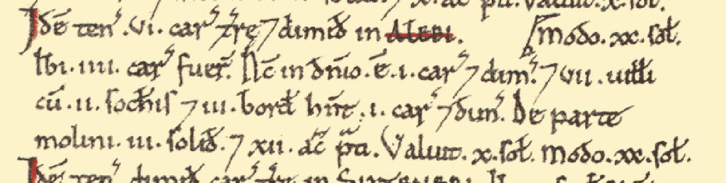
- Households: 7 villagers. 2 freemen. 3 smallholders.
- Ploughland: 4 ploughlands. 1.5 lord’s plough teams. 1.5 men’s plough teams.
- Other resources: Meadow 12 acres. 0.5 mills, value 3 shillings.
Valuation
- Annual value to lord: 1 pound in 1086; 10 shillings when acquired by the 1086 owner.
Owners
- Tenant-in-chief in 1086: Countess Judith.
- Lord in 1086: Hugh Burdet.
3. Land of Countess Judith

- Annual value to lord: 3 shillings in 1086.
- Tenant-in-chief in 1086: Countess Judith.
- Lord in 1086: Godwin.
Links
- Victoria County History – Welby
- Mercian Archaeological Services – Report on Archaeological Investigations at Welby, Leicestershire (2021)
- Force Arcaeology – Deserted medieval village, Welby, Leicestershire. A desk-based assessment (2017)
Would you like to add a link? Send a message.
2 responses to “Welby”
A couple of inacuricies:
Within the first paragraph you describe ‘to the south the industrial park of the former Holwell Works’ – Holwell works is still there.
The former Asfordby Coal mine was built over the villlage in the fields opposite the Church during the 1980’s. As a child during the 1960’s and 1970’s myself and freinds had great adventures playing among some ruins.
You also refeerence Asfordby hill – it is in fact around a mile away, closer to Sysonby than to Welby, it wasn’t constructed until many years after 1875 when Holwell works was founded.
Thank you, Martyn. Always happy to get comments and inaccuracies will be corrected.