To Applecross
On a misty morning at the Ben Nevis Campsite, the tent is covered with dew, so to take my time to pack, first making coffee and having breakfast.
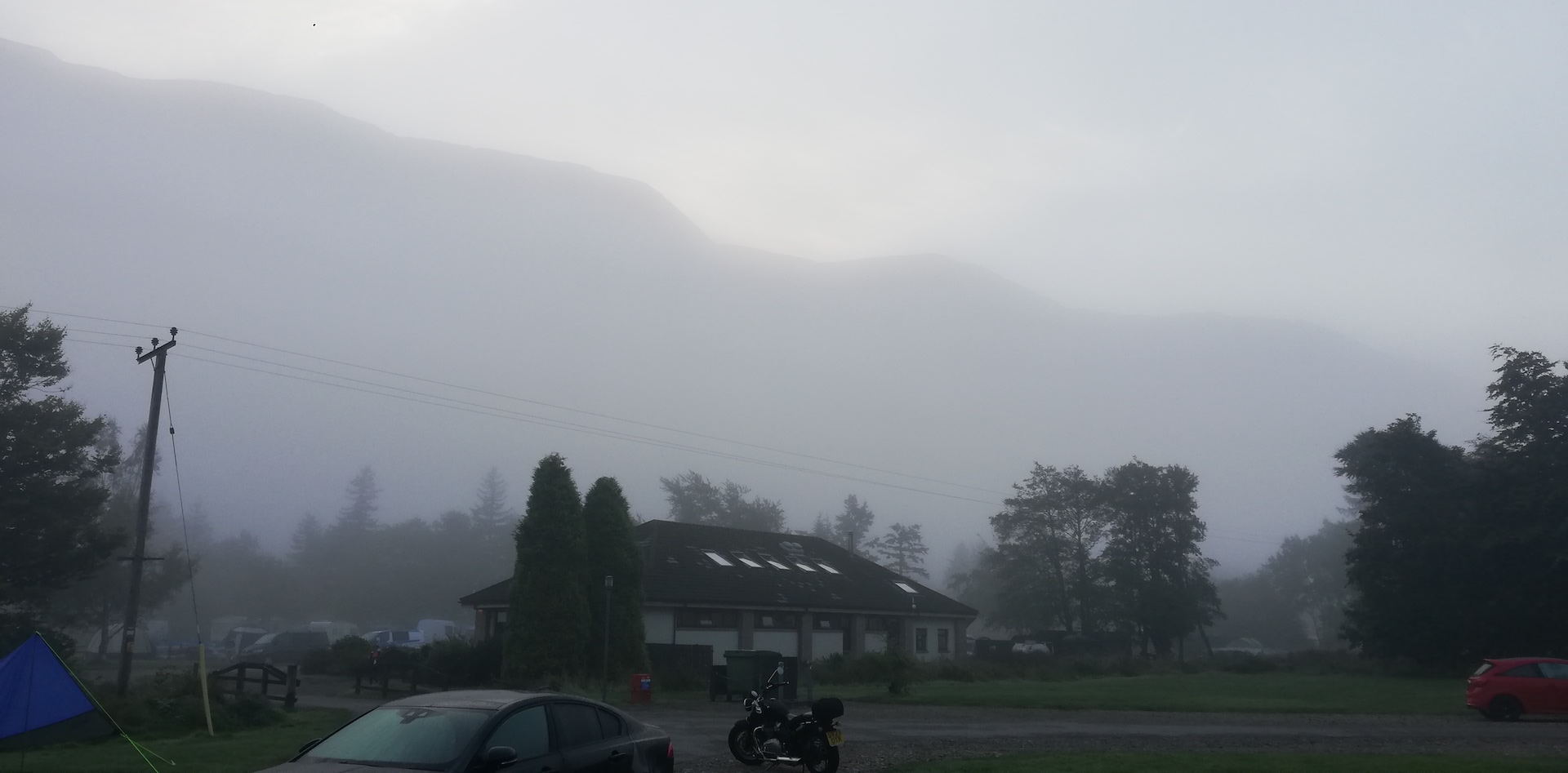
While eating, my eyes wander around the glen, observing the ever-moving mist against the steep hill of the Ben Nevis, like a curtain pulled up and let down and waiting for the sun to hit the top of the hill opposite. That happens about 8:30 am, sunrise being at 6:30 am. By 9 am, when I finish breakfast, the sun is warming the tent, and it will dry within a few minutes. It still takes more than an hour – again, I am in no rush – to pack my stuff, and by 10:30 am I am on the road for a drive to Applecross, the most southern peninsula of Wester Ross.
In a straight line from Fort William to Applecross, so as the crow flies, the distance is 51 miles. By road 104 miles and a travel time of at least 3 hrs. Having no appointments in Applecross for the day and with a booking for at the local campsite, there is no rush. I take the A82 to Inverness, driving through the Great Glen with Loch Loch and Loch Oich at my side (shifting sides at Laggan).
The morning mist is already long gone, and a dead wind on Loch Lochy perfectly reflects the western hills. Nice pictures could be taken, but I have no desire to stop. At Invergarry, I take a left where the A87, the so-called Road to Skye, starts, heading northwest. The A87 is one of the major roads in the Scottish Highlands. It provides a comfortable drive going up and down, with lovely views of Loch Garry, Loch Loyne, Loch Cluanie and Loch Duich. After a pit stop at Invergarry Village Hall for a wee wee (a small sanitary stop), I keep driving relaxed and steady. Nearly reaching the far northeast end of the long-stretched Loch Loyne – a loch created by a dam – I can’t resist the view. I park the car and set up my tripod and camera to create a panoramic photograph. There is nobody besides a Dutch couple (car registration and language).
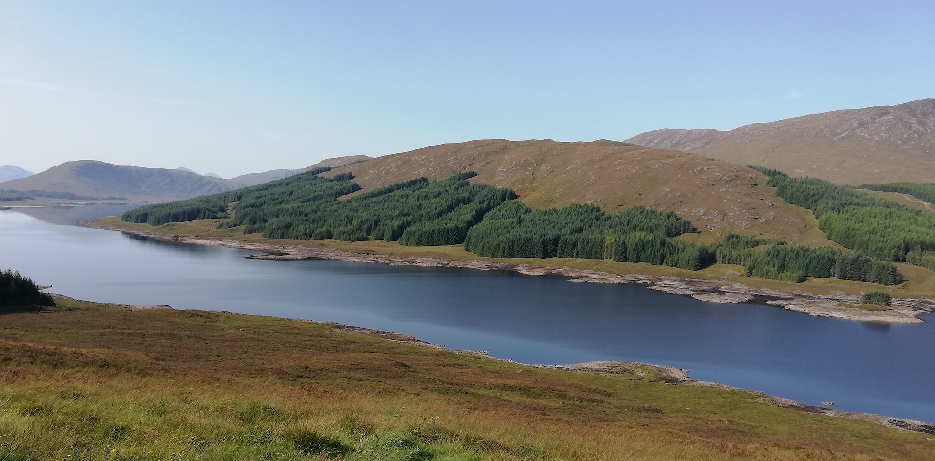
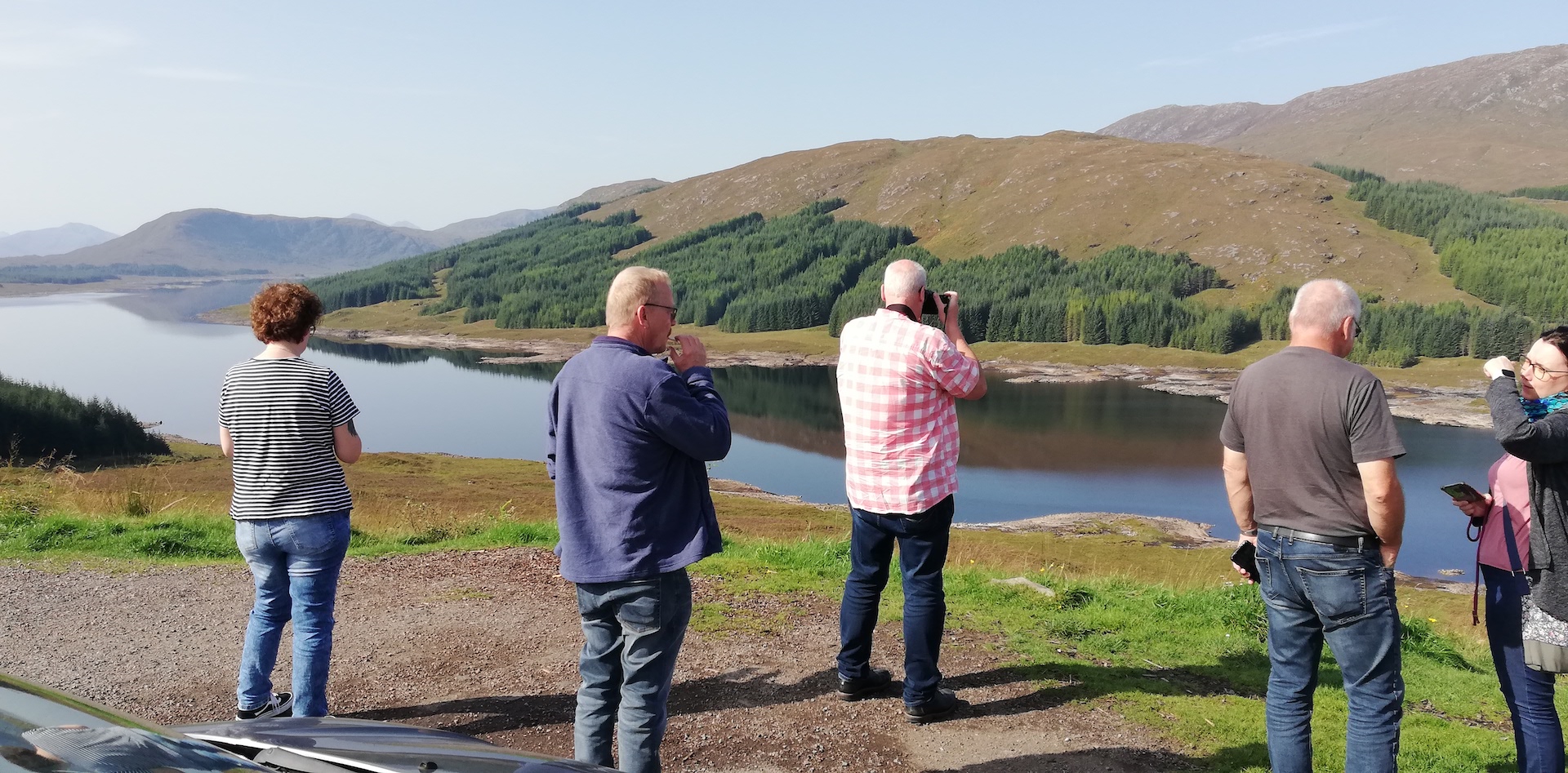
After the first series of shots, I would like to take another series. Still, when a tourist bus arrives, the place is suddenly full of snapshotting Germans. “It will only take three minutes”, the American-voiced tourist guide says. But I go.
When leaving Loch Cluanie behind, the road continues through Glen Shiel, an imposing valley with the Five Sisters of Kintain among the mountains in the area. Next is Shiel Bridge and Invershiel at the top of Loch Duich, a sea loch. Just before arriving at Dornie, Eilean Donan Castle is on the left. I have been travelling on this road before and never stopped here, just as today. A few miles further west, the real adventure begins, taking a right on the junction with the A890. If you would continue, you would end up at Kyle of Lochalsh and the Bridge to Skye. The A890, occasionally a single-track road, winds through a typically Scottish Highland rough-shaped landscape. A hoard of camper vans are coming from the opposite direction.
In W.S. Thomson’s booklet Let’s See The Northern Highlands, his friend and mountaineer Dr. J.H.B. Bell writes: “Let us start from Kyle of Lochalsh and make our way northwards. That is not so easy in a wild, mountainous country where the western coast is cut up into great fingers and peninsulas by long sea lochs which usually run far back into the land in a northeastern direction. That is why the country is so wild and isolated. Across Loch Carron from Kyle and not very far away is the Applecross peninsula. Not so long ago the little seaside village of Applecross had no land communication with the outside world. Our route is now by rail to the head of Loch Carron. For a few miles along the loch side near Strome Ferry this railway was more expensive to construct per mile than any other in Great Britain, owing to the sheer rocks which plunge straight down to the loch.”
One of the first photographs in the booklet is taken in Plockton, titled A Pretty Corner at Plockton looking to Duncraig Castle.
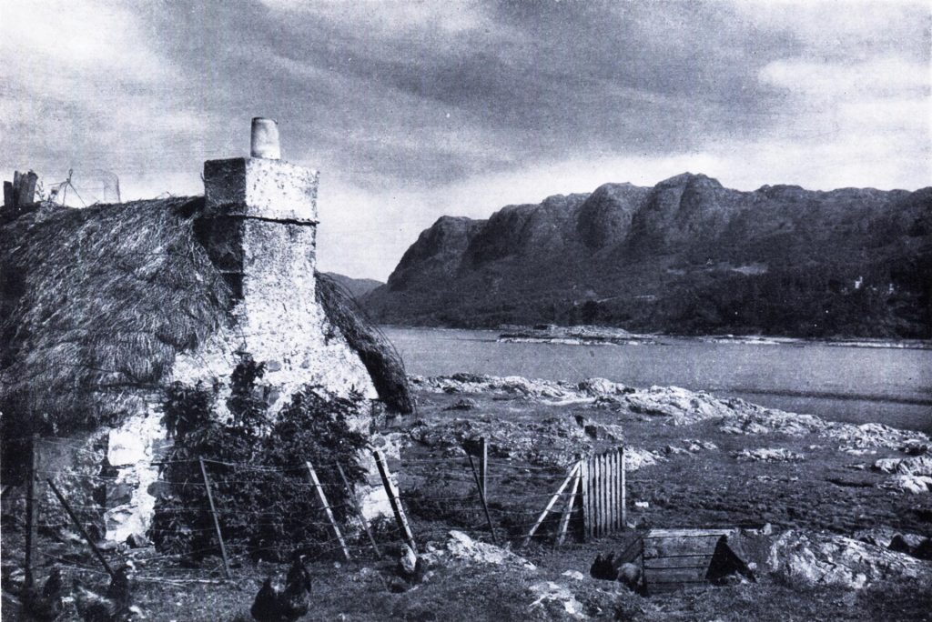
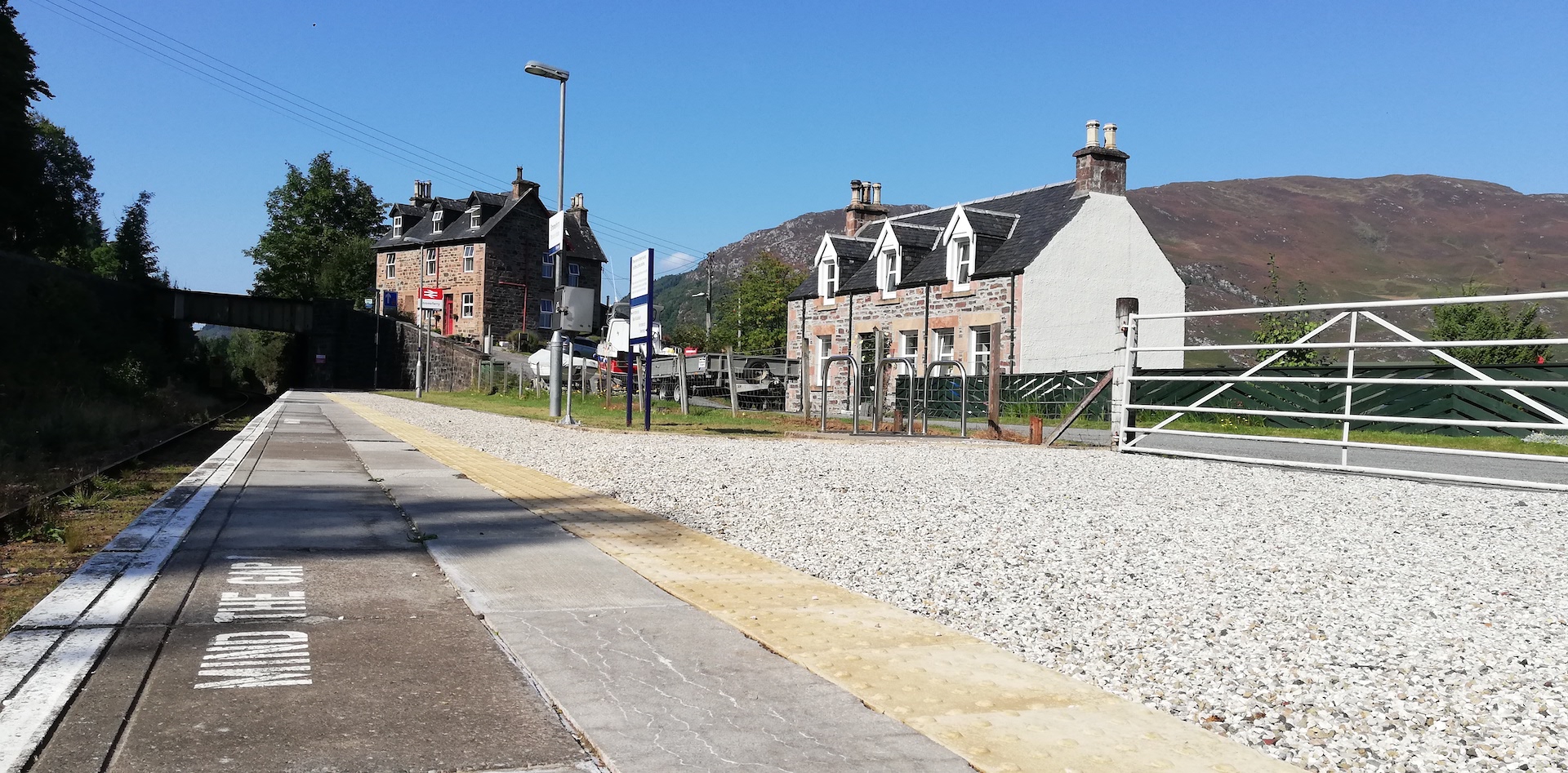
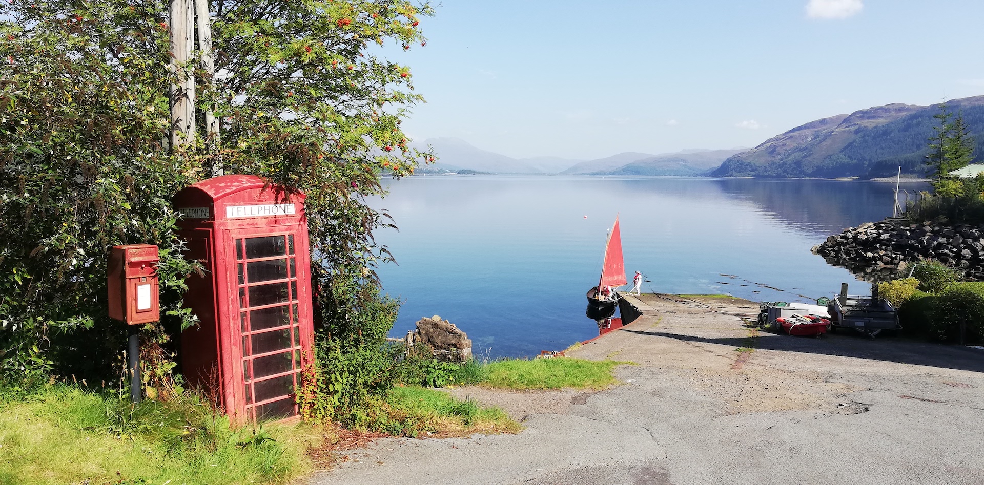
On the south shore of Loch Carron, Plockton can now be reached by taking a dead-end swirling road at Achmore. Loch Carron is the first of the six lochs on my radar for this Wester Ross scouting trip. Still, I continue a few miles to take a near-nose dive to Stromeferry. The road signpost is marked as Stromeferry (no ferry). On my way to the hamlet, I see two churches, some cottages, a large ruined boarded-up house, the platform (mind the gap!) next to a single-track railroad and a slipway with a couple trying to get the engine of their old sailing boat started. And a red post box and a red K6 telephone kiosk. I have reached another end of the world.
So far, I have identified two Thomson photographs titled Strome Ferry, one taken from a bit higher up with a small turning table ferry, nearly reaching the slipway, on board the ferryman with a rope in his hand, a man with his bicycle, a car, another bike, possibly a motorcycle and two people at the back of the ferry. Half of the image is diagonally covered with trees and scrub.
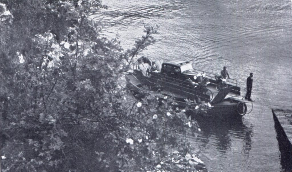
I try to locate the position, but after wandering around in – for Scottish conditions – an excruciating heat, I give up (is this word in my dictionary?) And not to climb a rock that is covered in scrub.
At the very informative Undiscover Scotland website, I read: “The Strome ferry began [c]rossing here in 1809, to provide a missing link in the road then being built by Thomas Telford between Dingwall (then the county town of Ross-shire) and Kintail. This ran down through Lochcarron and the north shore of Loch Carron to North Strome, overlooked by Strome Castle. …/… In 1870 Strome Ferry, as it was still called, became the terminus of the newly-opened Dingwall & Skye Railway, and a pier here was used by steamers to load passengers bound for Portree [Isle of Skye] and to Stornoway [Outher Hebrides].
“History bypassed Stromeferry for a second time in 1970, when what has since been called the Stromeferry bypass, the A890, was built around the head of Loch Carron and along its south-eastern shore. The road rendered the ferry crossing redundant and the vessels were abandoned to rot on the northwest shore of the loch. At the time there were two ferries operating on the crossing, the Pride of Strome and the Forbes of Sandhaven.
“For a few years in the mid 1970s Stromeferry became the railhead for the transfer of workers and materials to ships during the building of the enormous oil rig fabrication yard at Loch Kishorn, less than five miles away as the crow flies and a place that at its peak employed 3,000 people.”
The second photograph is a colour postcard titled The new ferry boat Strome, Loch Carron #552, published by W.S. Thomson (Colour Photographs) Ltd, Edinburgh and printed in Scotland by Robert MacLehose & Co Ltd, Glasgow.
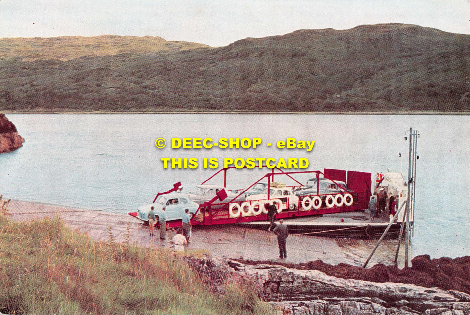
The copy is downloaded from the internet, and I have not bought it to add to the Thomson collection. It pictures a much larger turning table ferry with a capacity of six cars, and one of the cars has just left the ferry. Up to yesterday, I thought the postcard was also taken from the Stromeferry (south side). Still, it is definitely taken from the opposite North Strome shore, so I have to adapt my map.
By now, it is midday, and I have no appetite. I am only very thirsty and have some water. I take some photographs of Stromeferry and drive back up to the main road to continue my trip, crossing the railway at Strathcarron station at the head of Loch Carron, up to Lochcarron for a next stop.
Bell writes: “At Strathcarron we board a small bus which takes us through Lochcarron village, now a much smaller and sleepier place than it used to be when the Loch Carron fishing was in its heydays.”
In Lochcarron, I search for the same view as the tiny black and white Thomson photograph in the Let’s See The Northern Highlands booklet with the caption A quiet corner, Jeantown, Loch Carron.
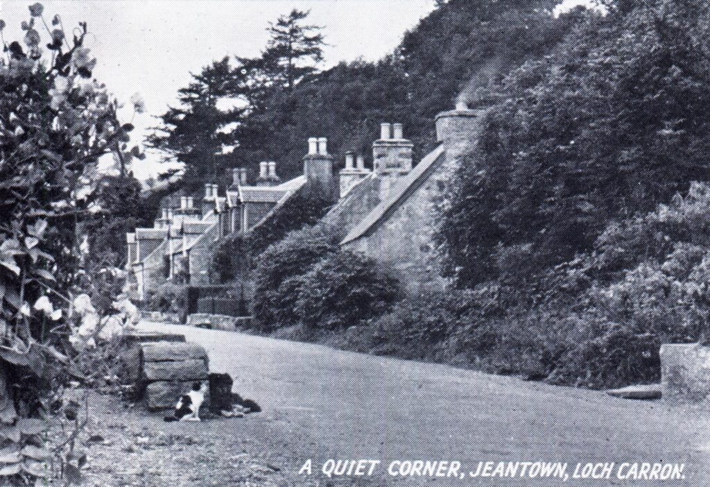
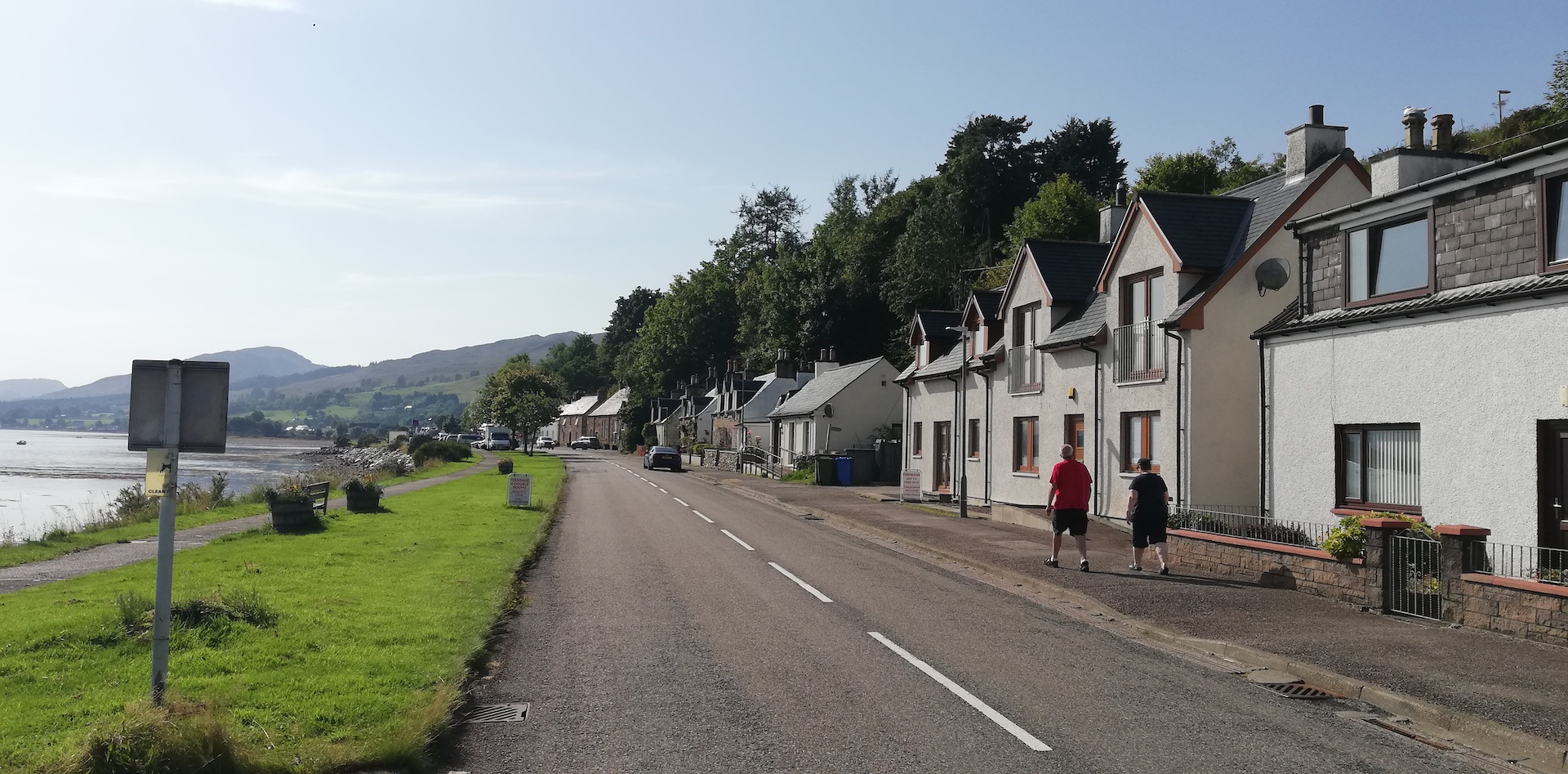
I think I have a match from the car park opposite The Old Butchers, a coffee shop and art gallery. The old photo probably depicts a cat sitting next to some stonework on both sides of the road, a small stream running underneath. The small stream is still on the map, but the stonework is gone, just as the scrub at the left (now a grass patch with a view of the loch) and the right (now built with houses). The cottages with the distinctive chimneys and chimney pots are still there. The view of the remake is much more open.
I am nearly cooked now because of the heat; it is still 25-plus degrees Celsius. Taking a break, I have an elderflower drink and some cake. Re-energised, I continue to Applecross, deciding not to visit the nearby location in Slumbay, a former crofters community, just off the main road in Loch Carron and the North Strome slipway, about 4 miles on, both pictured by Thomson.
As I start the car again, I follow the same route Bell took more than 70 years ago by bus, now the A896. Reading Bell’s story (at the end of the day), my finger glides over a most recent Ordnance Survey Explorer map. He had all the time to watch the landscape. As I drive, my eyes focus on the road, not what is left and right. Bell: “Then we climb a steep hill to the bare moorlands and swing westwards down the hill to the shores of Loch Kishorn. Most of the time, before us, is a cirque of wild, rocky peaks, flat topped but faces with great, wall-like precipices for many miles. It is the characteristic rock of the northwest, the red Torridon sandstone, one of the oldest rocks of the Scottish Highlands which has resisted the denudations of untold ages of frost, rain, and sun.”
Turning just outside the village of Lochcarron, the road goes up half a mile north – a road sign indicates a single-track road and advises to use passing places to permit overtaking. Trees and scrub are growing next to the narrow verges. When the road turns west, purple heather and rough pale yellow grass dominate the colours on the ground. When crossing a cattle grid, the road slides downwards following the Cumhang a’ Ghlinne (the narrow valley), halfway crossing a stream, the Abhainn (= river) Cumhang a’ Ghlinne. Before reaching the hamlet of Ardarroch at the shore of Loch Kishorn, I pass a woodland on the right and left (covering Cnoc Dubh). The road glides north again, with the stone walls of Courthill House at my right, followed by the delta of River Kishorn at my left and the remarkable harbour and dry dock of Loch Kishorn on the north shore.
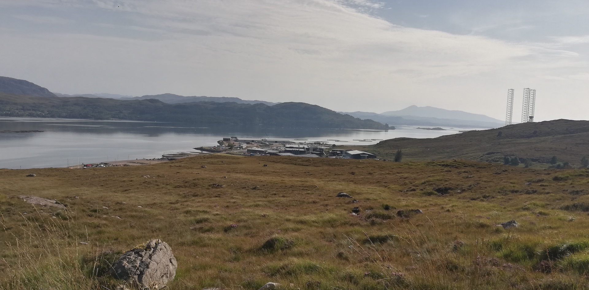
Bell continues: “There is a short interlude of cultivated fields and beautiful woodland before we cross the Kishorn River and turn back along the moorland on the western side of the loch.” These days, a brown road sign with white letters indicated to go left for the NC500, taking the Bealach na Ba (Pass of the Cattle). Cars with campers and camper vans are advised to take the alternative route via Shielding and the road following the shoreline of the Applecross Peninsula. I head for the Pass.
Bell writes: “The narrow road, where two vehicles could hardly pass each other except at a very few places, begins to mount the hillside, crosses a shoulder and exposes to view on the right, one of the most impressive little rocky peaks of the Highlands. That sheer, rocky nose, called the Cioch of Applecross [Cioch Nose], was first climbed by Professor Norman Collie about the beginning of the [20th] century.
“The road winds up the side of a narrow glen, steep, rough and narrow with rocky heights on either side, and with no apparent outlet beyond. Steeper yet, it finishes by a series of zigzags to the top of the pass, 2054 feet above sea level, the second highest driving road in Britain.”
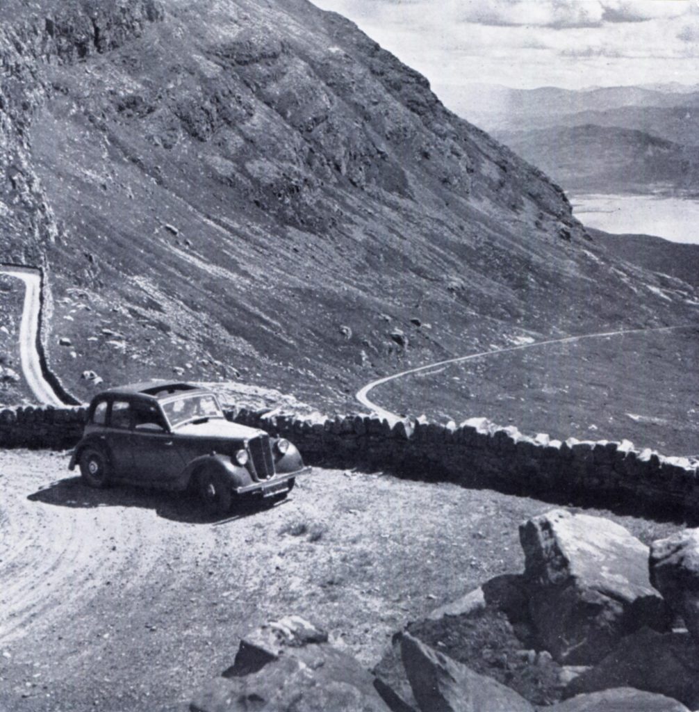
In the Thomson collection, I have found three pictures taken near the summit of Applecross Bealach, all three looking to Loch Kishorn. The first is a square format black and white picture published in Let’s See The Northern Highlands, taken in 1946 or 1947.
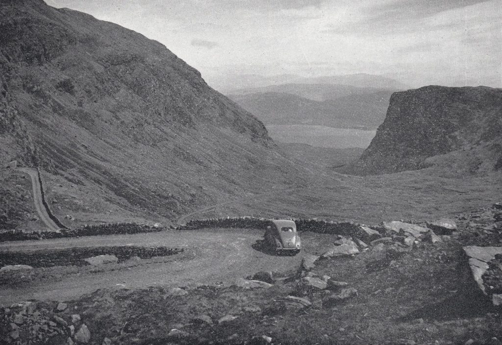
The second, another black and white landscape-orientated photograph, published in Let’s See Wester Ross, is a bit more uphill.
The third is a colour photograph published as a postcard from nearly the same spot as the second picture.
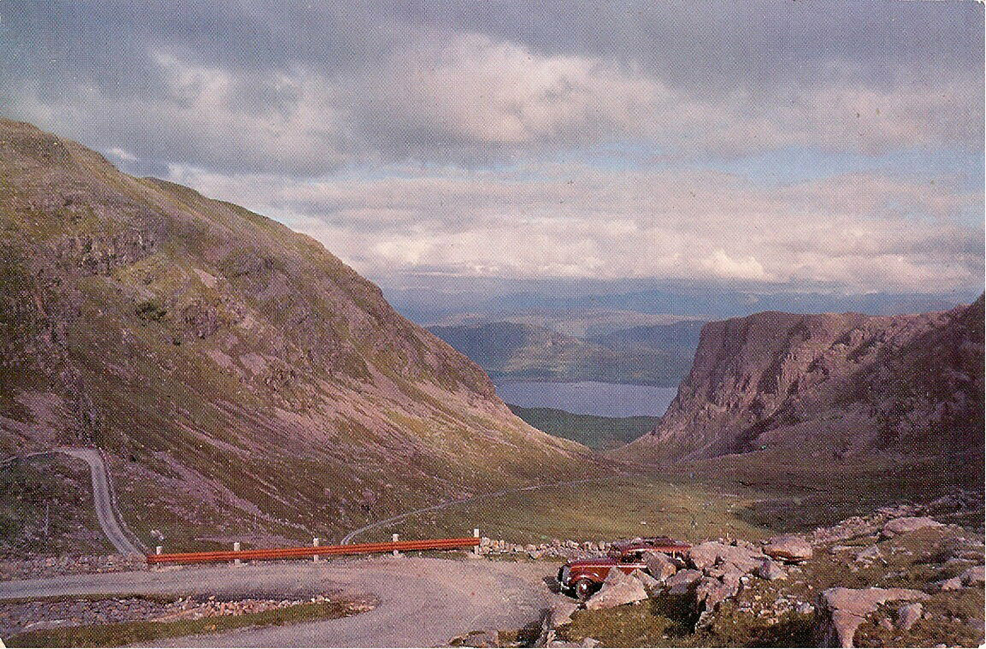
A car is pictured in all three of them, probably every time Thomson’s car. I reside the rest of the afternoon at Bealach na Ba for the three remakes because tomorrow the weather is changing dramatically, and a view like today, a clear view, only the series of mountains towards the southeast covered by haze, which can be tuned down by using a polaroid filter and a 1.2 ND grade (four stop) filter.
The view towards Coire na Bà (valley) with a small meandering stream, the Allt a’ Chumhaing (narrow place, defile), is spectacular, accentuated by the zigzagging road.
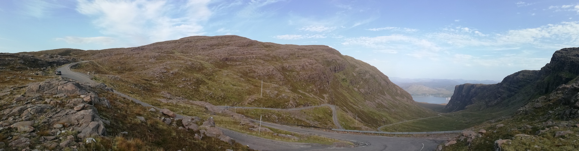
I park my car just 50 yards from where Thomson planted his tripod, where a few years ago, an extra strip of tarmac was laid because too many people stopped to make snapshots, clogging up the traffic. It is the success of the NC500 – a route of about 500 miles circling the northwest of Scotland – that tourists tend to drive in 5 to 7 days, some kind of holiday rat race from one place to another for just ticking the boxes – that made droves of tourists exploring the area. It is some kind of god-sent for the local economy but also creates many troubles for people living there. I spend about three hours on the rocks, tracing places and seeing cars, vans, motorhomes, motor riders and cyclists (yes) ascending and descending the narrow, primarily single-track road.
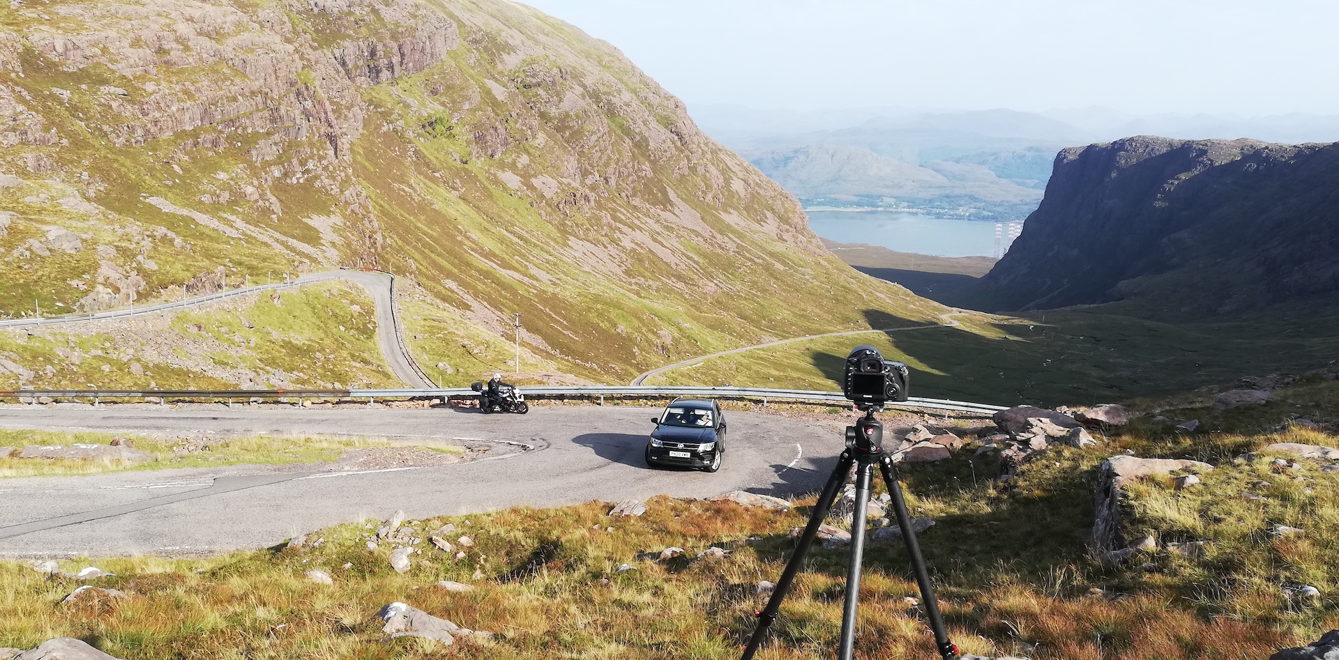
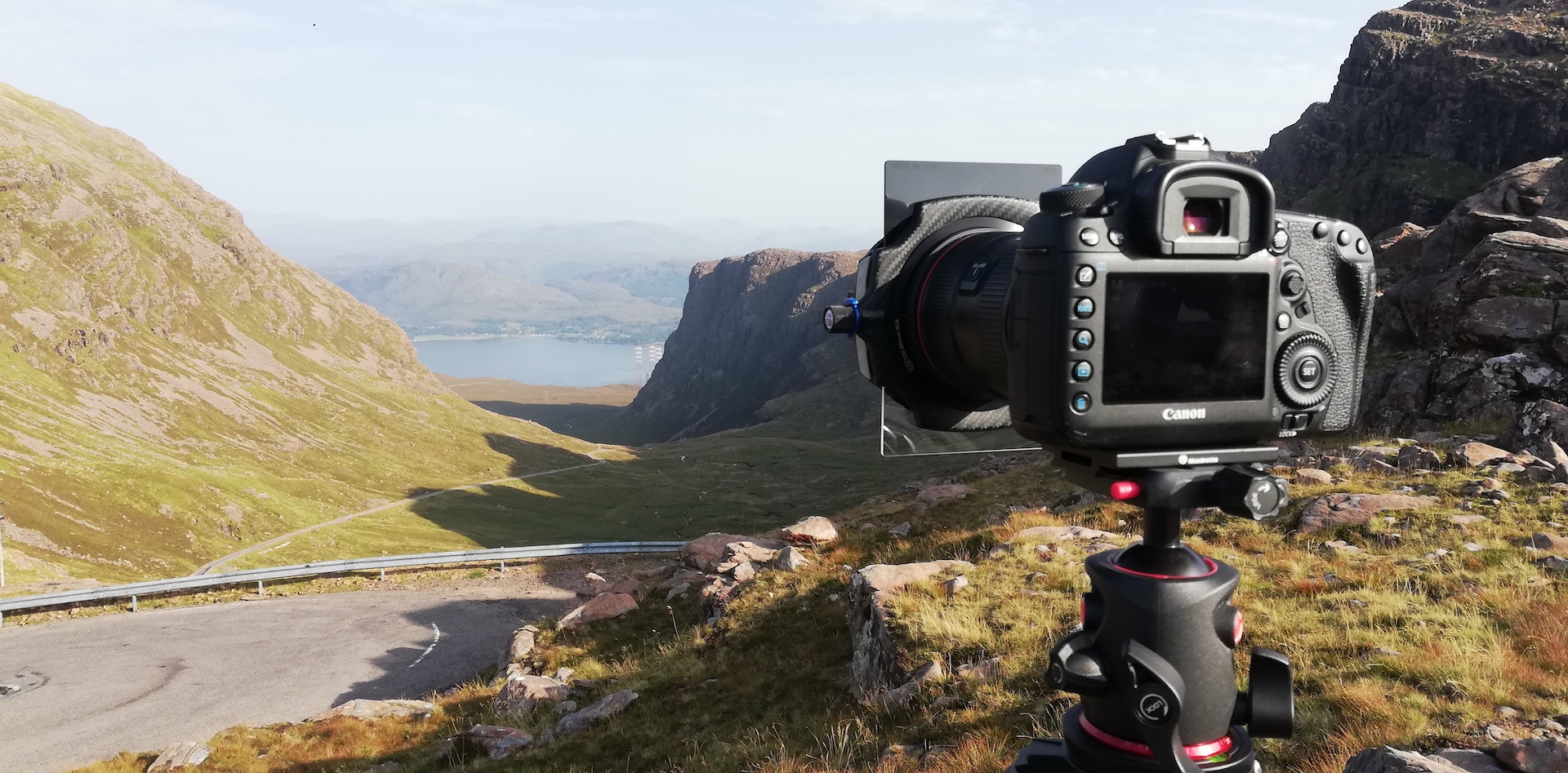
It is past 6 pm when I pack my gear and continue the road, the first bit still higher to the top of the pass, with a car park. I don’t stop, although it must have been spectacular. Bell wrote: “On a clear day from a near-by eminence there is a glorious westward view across the Minch to Skye and the Outer Isles. The westward descent to the little village of Applecross on the coast has none of the impressive desolation and rugged grandeur of the eastern ascent.” About the ascent and the descent, Bell is absolutely right.
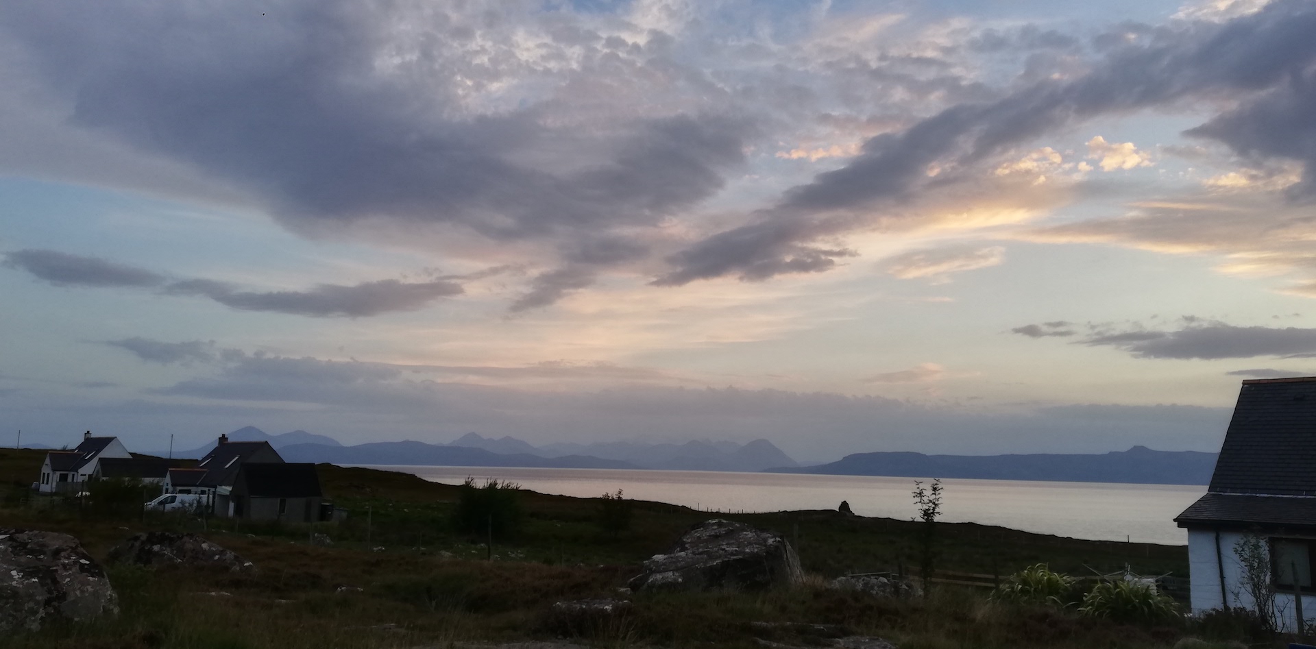
I arrive safely at the Applecross Campsite, where I find a spot to pitch and then go down to the village for some shots of the view over the sea towards the Isle of Skye with the Isle of Raasay and Rona in the foreground and the Cuillin Hills and the hills of the Trotternish Ridge behind. When the panoramic photographs are taken, I have a peek at the Fish and Chips bar opposite the Applecross Inn, but it just has been closed. A meal to prepare waits at the campsite. It was a busy day.