North Berwick Law and Tantallon Castle
When I wake at 4 am to visit the toilet facilities, the mackerel sky is painted red towards the northeast, where the sun will rise. Shall I get dressed and pick up my gear, or go back to sleep? After a long day yesterday, my body cries for some more sleep, so I crawl back into the tent and rejoin the comfort of my cosy sleeping bag. Unfortunately, I stay awake, thinking about the wanderings of the past days and the adventures still to come. At 6 am, I decide to have breakfast and prepare for a morning visit to The Law. This conical hill rises conspicuously from the slightly waving landscape of the North Berwick area. The Law is a volcanic plug of hard rock that has survived the ice age’s scraping glaciers.
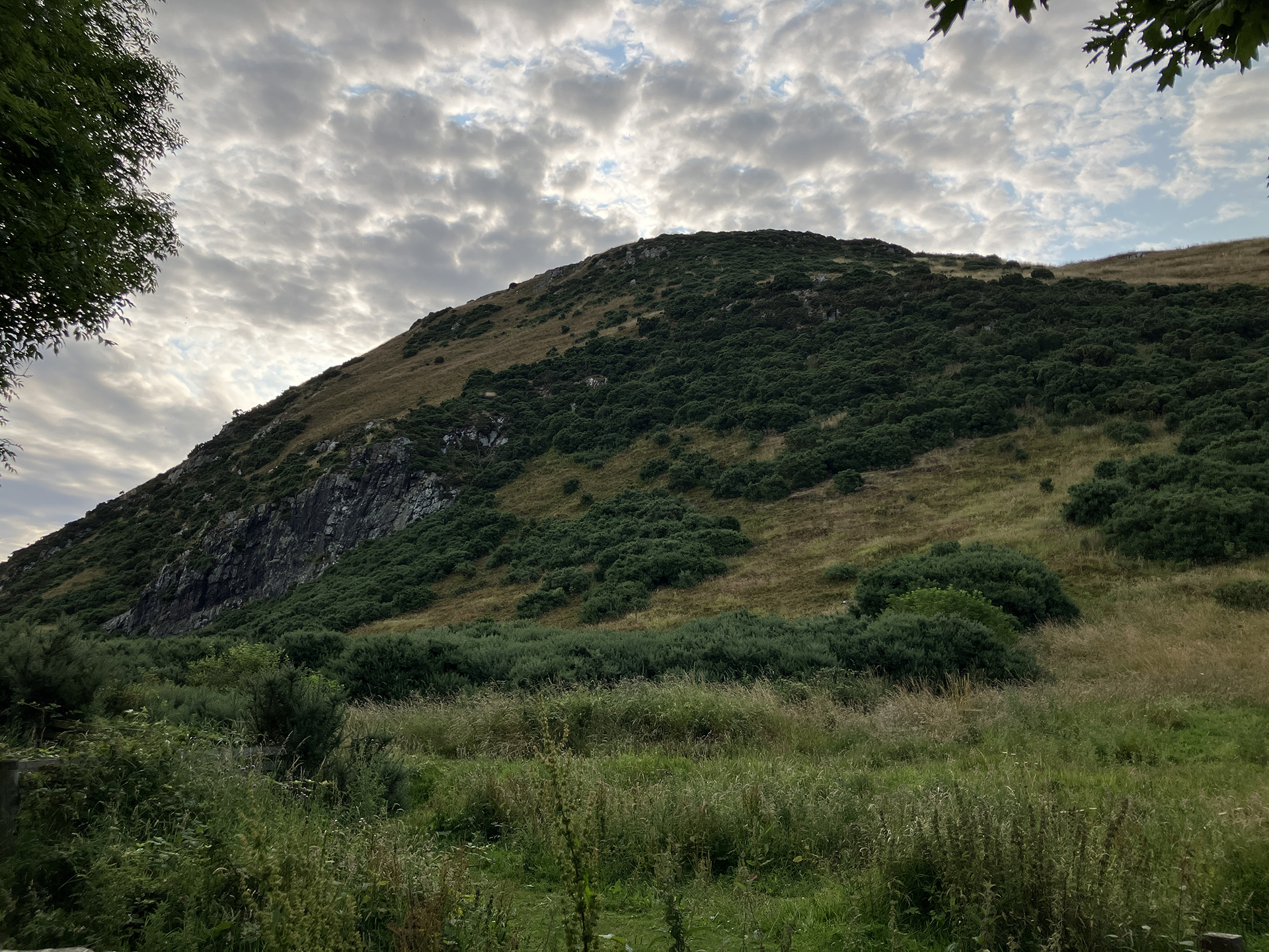
The climb to the top requires some physical exercise, and with the weather in mind – it will be another warm day – I leave the campsite around 7 am for a short drive to The Law Car Park. The second reason for an early visit is to avoid many people running around the site. I love people, but not in my photographs. The top of The Law, with a trig point, is 187 metres, and when reaching the top, I am alone. What a spectacular 360-degree view. Towards the south, you can see the Lammermuir Hills and towards the north, the Firth of Forth lies in front. In the west, I see Arthur’s Seat, the hill in Edinburgh and Queensferry Bridge. The Law’s sister, Bass Rock, rises from the water in the east.
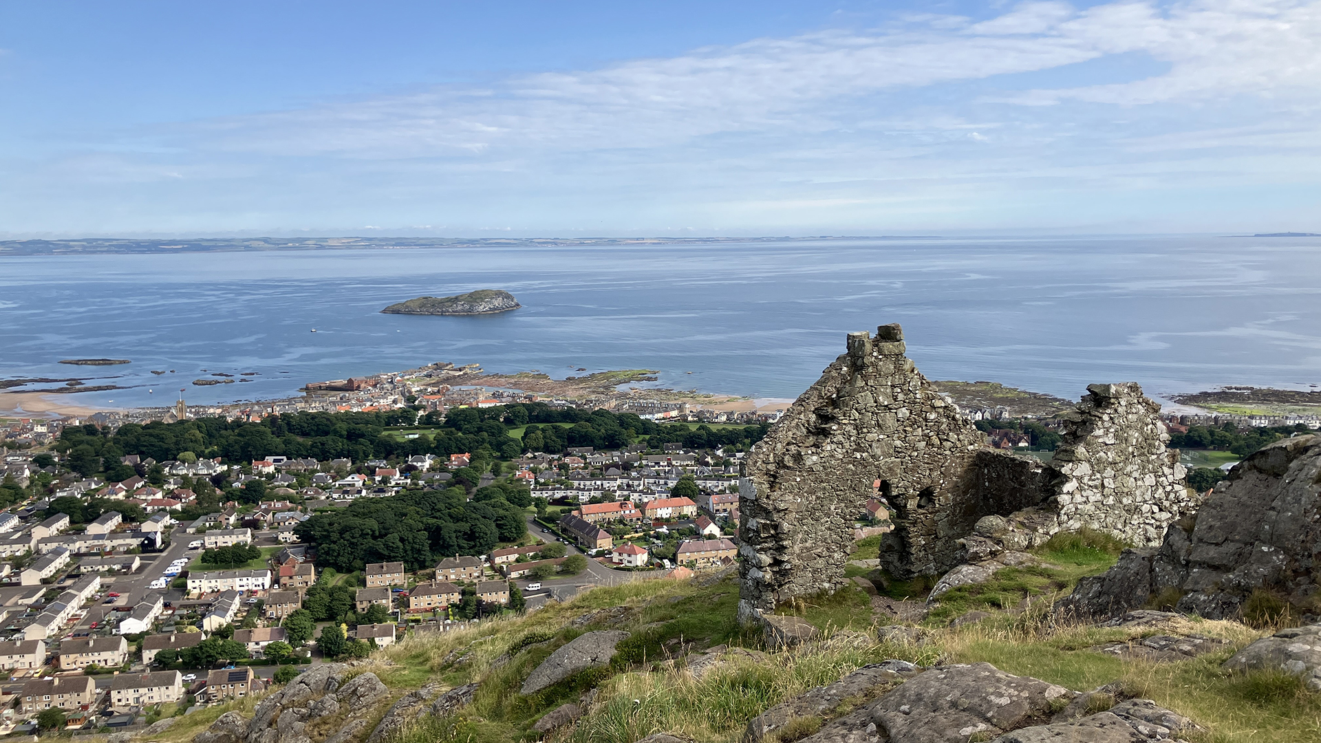
The summit of The Law bears remnants of an Iron Age hill fort, not evident to detect at first sight. Three other features still remain visible. A ruined telegraph cottage is the first.
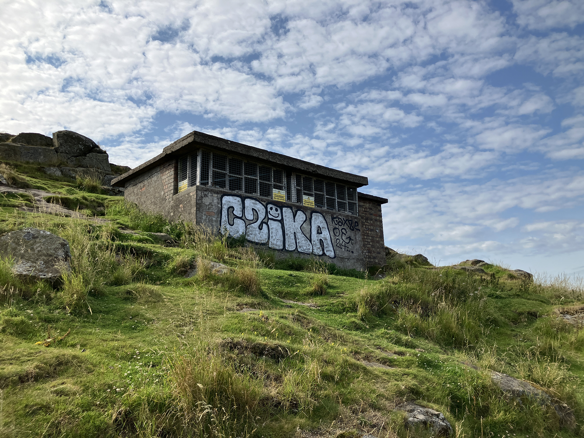
The second is a building from a World War II outlook, already having that function as a lookout during the Napoleonic Wars and World War I.
The most eye-catching is a whale’s jawbone, which has topped the law since 1709. The bone was replaced thrice before being removed due to safety concerns in 2005.
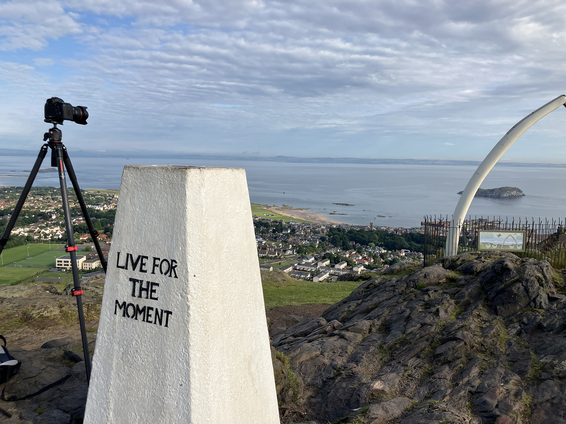
“The people of North Berwick missed their whale arch, and they got together and one thing led to another and now Berwick Law is again surmounted by a jawbone arch. Except — it’s not. It’s not plundered from a washed-up whale nor supplied by Alaskans or anyone else.” writes Kathleen Jamie in her book Sightlines (2012). “What they’ve installed on Berwick Law is not a whale’s jaw but a fibreglass replica.” I was just as disappointed as the author about the artificial bones. When W. S. Thomson climbed The Law to photograph the scene north, the jawbones were still the real stuff. But there is something else rather strange. Looking for the exact position to take the remake, I get confused because everything matches except the size of the jawbones. The plastic bones don’t match the old photograph wherever I put my tripod. As often, there is always a catch. The best way is to focus on objects still in place after over 70 years. The first is the ruined old telegraph cottage and its top position of one of the gables, just covering a row of houses at the east seafront of North Berwick. The second is the position of the harbour entrance and the island in front of the town, called Craigleith. Also, the iron railing is still the same.
In a BBC article written in 2008, I read: “The previous bones [the last real ones] were removed from the site in 2005 due to safety concerns after standing for about 70 years.” The article adds: ”The jawbone arch is thought to have been replaced three times since it was placed on top of the Law in 1709.” As the new plastic whalebones are an exact copy of the last real ones, which were removed in 2005, the 1950s jawbones photographed by Thomson must have been replaced soon after the picture was taken with a new and larger jawbones’ set.
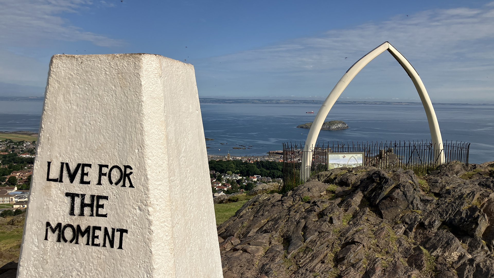
When my camera is in the right spot, I take some photographs every ten to fifteen minutes. The view is milky. The sun is ready to raise the temperature and hopefully burn a bit of the slightly misty view. During my search, a few people reach the top, briefly touching the white painted trig point, marked with the words “Live for the moment” – I would prefer to say “Live in the moment” – or the brass orientation table, highlighting the features visible from the panoramic view. Some of the runners say briefly ‘Hello’ and immediately dash back down. During the 2 hours I am on the top, one man made it twice to the top. So only runners, no tourists yet. I don’t identify myself as a tourist, more as a wanderer and a searcher.
On my way down, about halfway, I meet the runner I have seen twice on the top. He asks me what I have been doing and after I explain, he says: “You are a time traveller.” I ask how often he runs uphill. “Most days, three times,” he answers. “Once I have done 12 runs to the top,” he adds while he continues to make his third run of the day. Back at the car, I see a poster at the gate explaining that 31 July is the date for The Law Run. So, the man I have met is training for the run.
Just after 10 am, I drive to the car park of Tantallon Castle. Still worried about how to access the view of the ruined castle, I enter the site’s ticket office and souvenir shop, where I introduce myself. My favourite conversation starter is: “I am on a mission, and I hope you can help…” People are intrigued by the word mission.
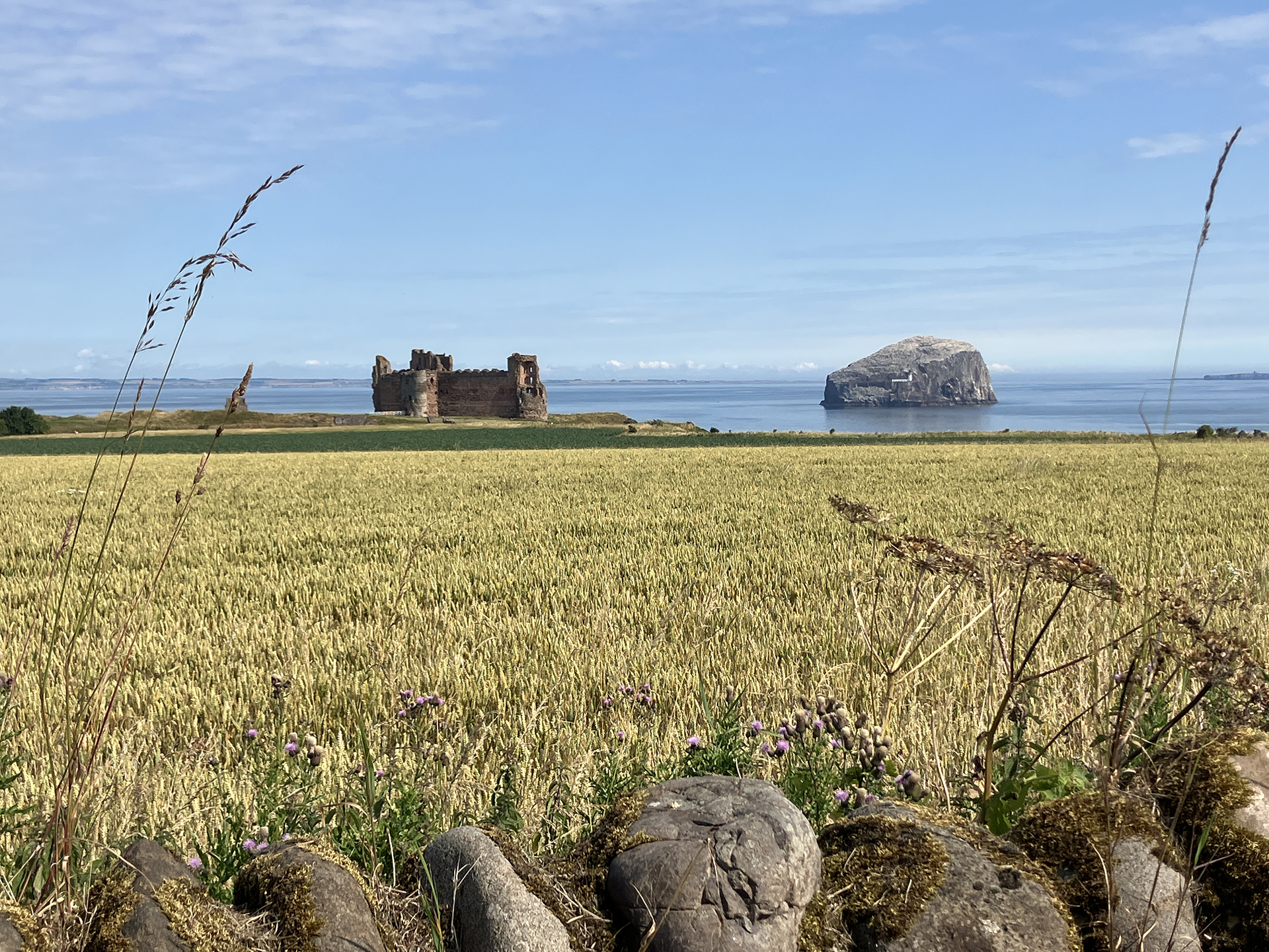
The friendly staff explains where Thomson took the three Tantallon Castle photographs, confirming my thoughts about where the photographer stood 75 years ago. I have to take the private road and pay for a ticket to park the car near the beach.
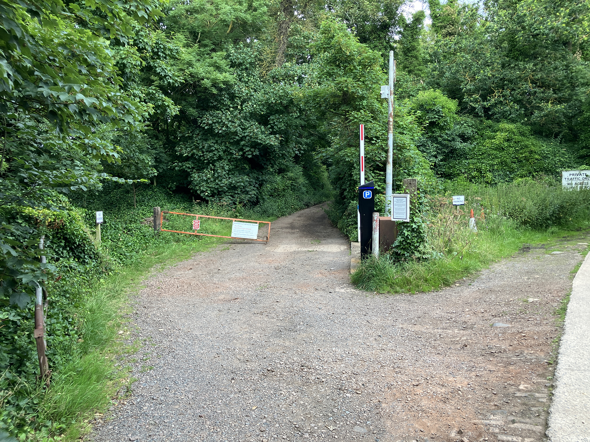
Then, I walk back to the cliffs and the hidden rocky beach, which the general public does not visit. Taking a steep dirt road, I reach the rocky shore before noon.
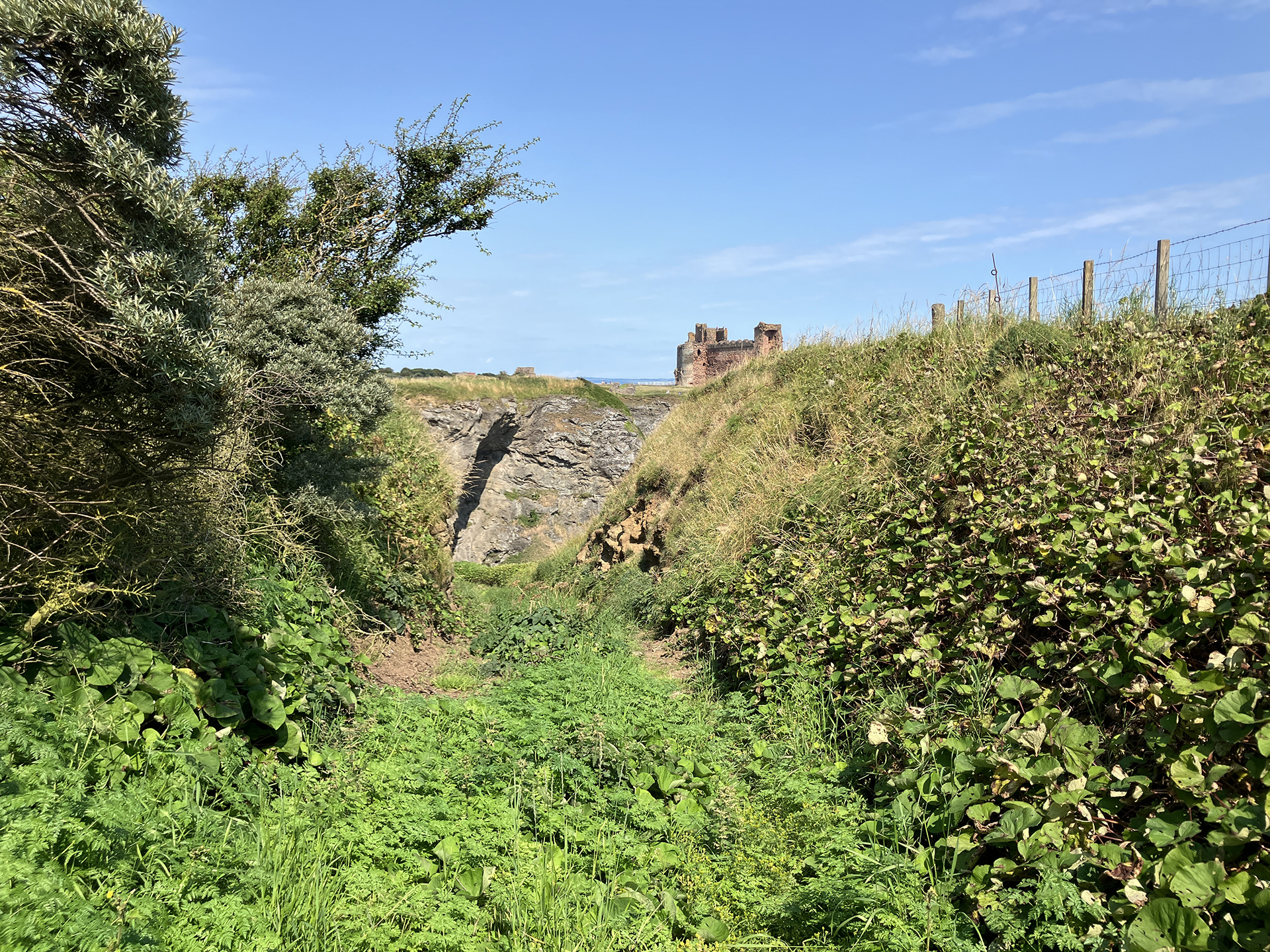
With Thomson’s photo on display on my laptop, I try to find the rocks still visible in his photograph. Comparing the old photo with today’s view is hard. Could the rocks have been eroded that much in three-quaters of a century? The tide is much lower, and I can only guess what the scene will look like at high tide. Taking other features into perspective, I have a guess about Thomson’s location.
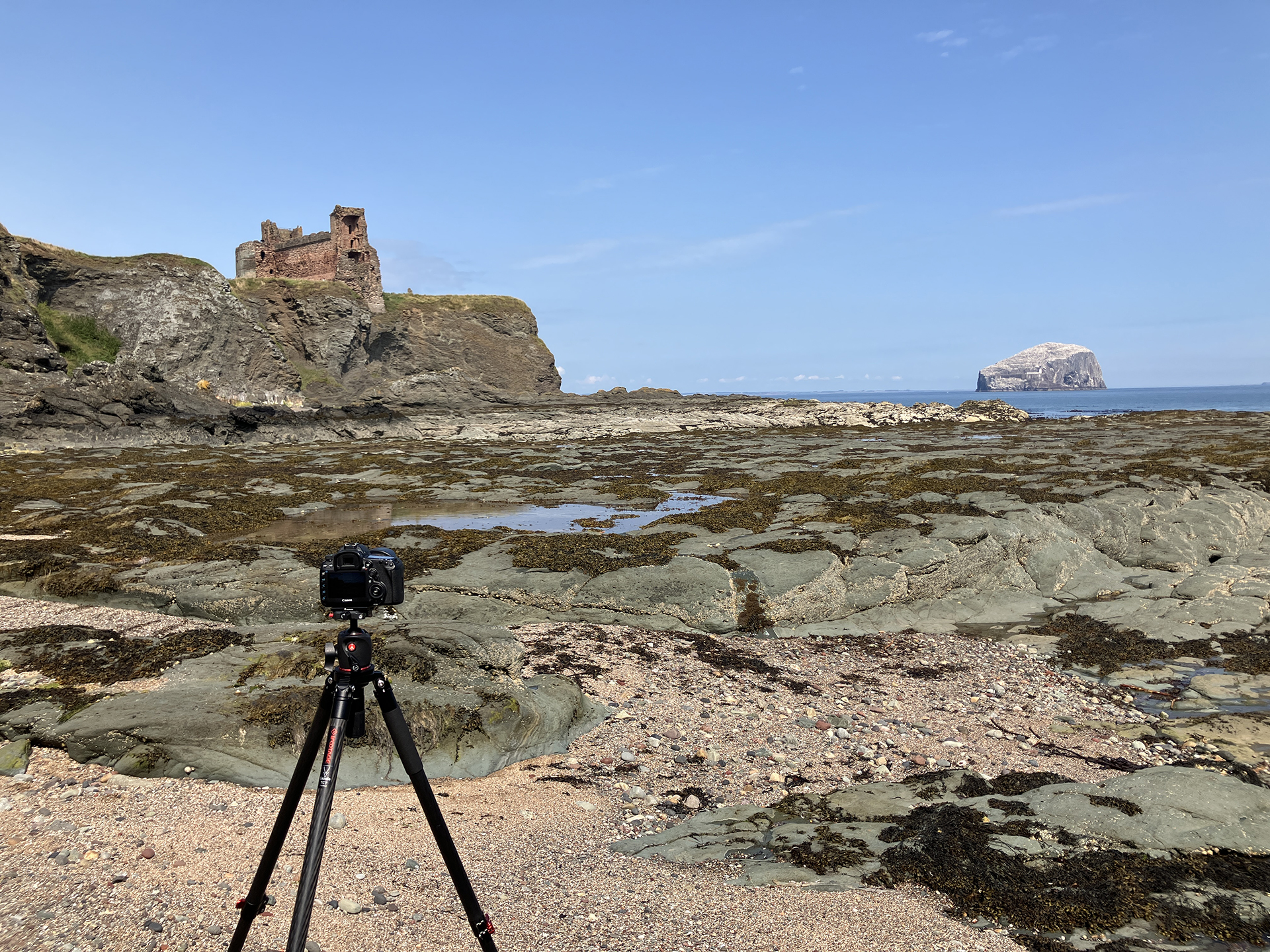
I take a few remakes, but prefer to have another go when the sea water level is much higher in about three hours.
I decide to return to the top of the cliffs to search for Thomson’s second photograph. The weather is changing. When I find the location, clouds cover the sun, and the beautiful light is gone.
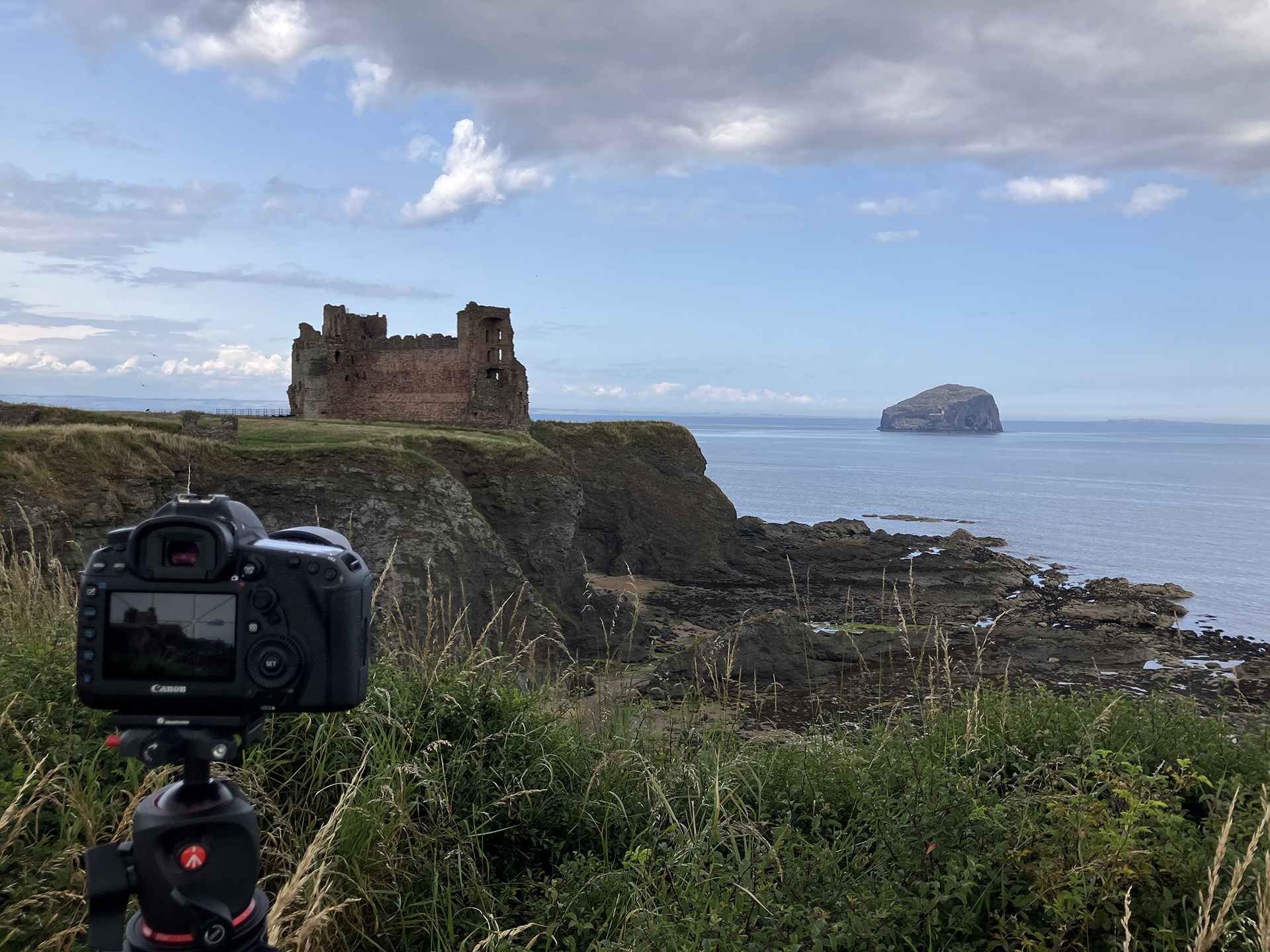
I check my weather app and learn that the cloud cover will stay for the rest of the day, but there is a slight chance for a brief bright spell. I just have to wait… a few hours, enjoying the view.
Looking from the top of the cliffs, I notice a fisherman walking on the rocky shore, carrying a basket filled with mussels on his shoulders. He pauses for over half an hour to eat and continues walking to the south, disappearing behind the next high cliff. The sea will likely submerge most, if not all, of the rocks at high tide. While waiting on the cliffs for the sun, I read about tides in the Sea Fever book: “You know it’s high tide. You know low tide will follow about six hours later. But what if you want to know how high the water will be in between? What if you want to know how fast the water will be flowing? That’s where the rule of twelfth comes in. If you plot the rise and fall of a tide on a graph, it will (mostly) resemble a sine curve, with the rate of change from high water starting of slow, increasing until half-tide(the midpoint between high and low water) when the rate is at its fastest, before decreasing to its slowest rate just before low water.” I roughly calculate that I have to get down again at the rocky shore about 3:30 pm to see the water rising the fastest and the rise will slow down after 5:00 pm. In the past, I have been reading a book on all kinds of aspects of the tide: Tide. The Science and Lore of the Greatest Force on Earth, written by Hugh Aldersey-Williams. I keep a copy in my small library at home.
As magic sometimes happens, there is a brief sunny spell, just long enough to take a few good remakes from the top of the cliff, and have enough time to be back down in the rocky bay to set up my camera and watch the rising tide. There is no danger of getting trapped because there is an area that doesn’t get flooded by high tide. Otherwise, I would have stayed on top of the cliff. I also point another camera towards the castle and Bass Rock to make a timelapse of the rising tide. And then I have to wait again and keep a close eye on the upcoming tide. When the water is at the level in Thomson’s photograph, I still don’t see a match with the structure of the beach rocks then and now. Have the rocks been that eroded in 70 years? I am standing on the edge of the rocks and the small sandy beach sand. Once the three legs of my tripod are slightly submerged in the seawater, I move my camera to a few other places, but it stays a mystery where Thomson stood in the past.
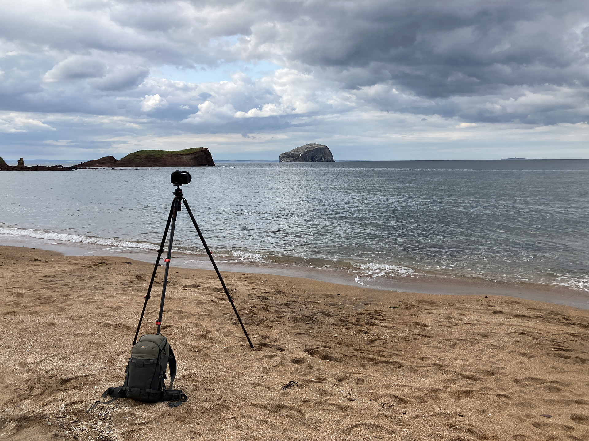
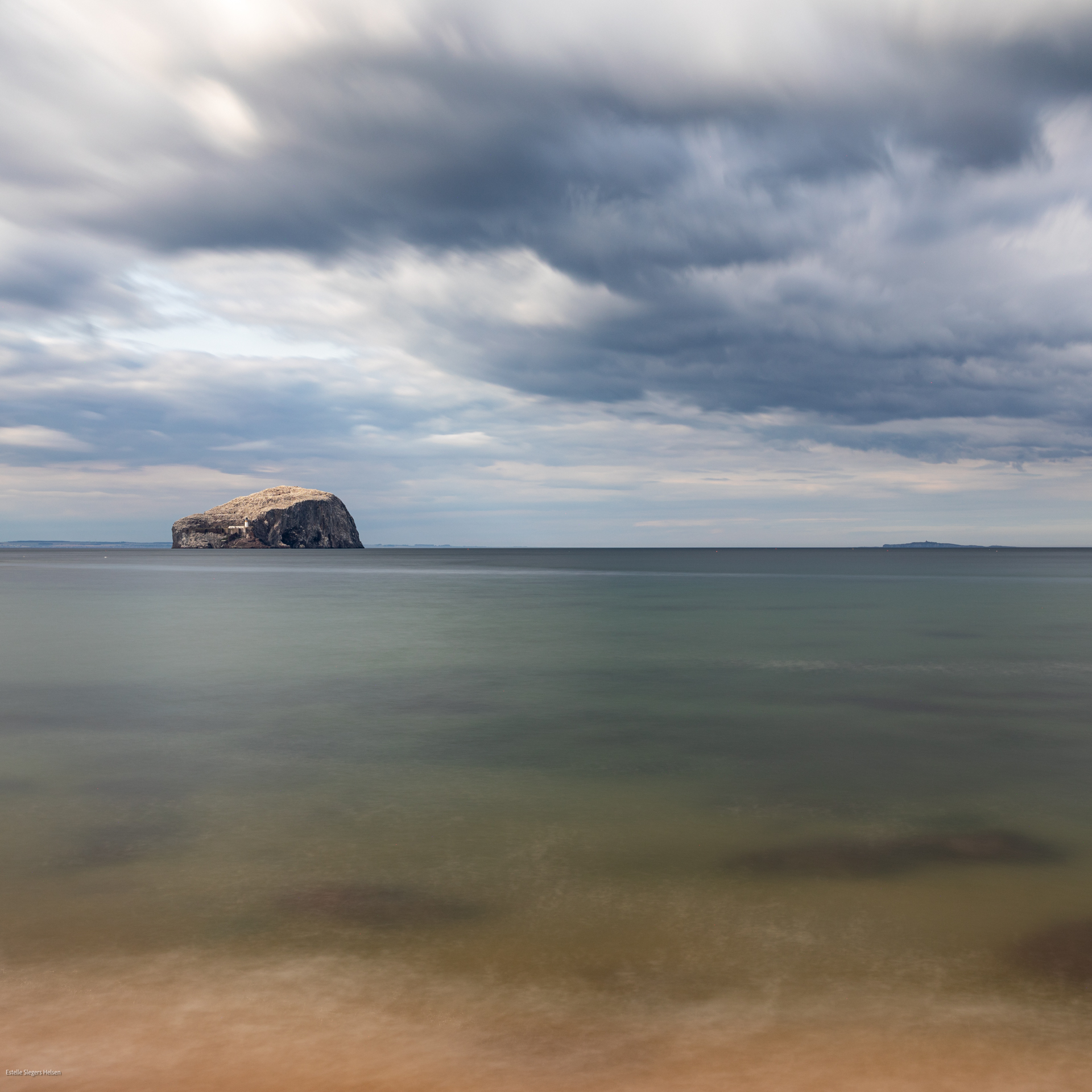
At nearly 6 pm, I walk to the car, skipping the third Thomson photograph, a 35mm slide of minor quality. I leave this one for a possible revisit in the future. Because the weather has changed again and sunny spells hit the landscape, I walk to Seacliff Beach, where most visitors to Seacliff Estate go. A lovely view of Bass Rock enfolds is a good place for a seascape.
After returning to the campsite, I cook dinner and decide to relax after a long day of wandering.