To Torridon
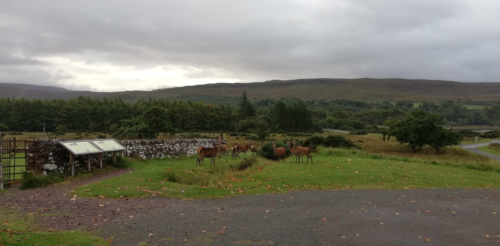
By 7 am, I am on the road, already having taken most of my gear into the car the evening before. I just had to dress, take the sleeping bag and mat, and pack the tent. Just as I was ready, it started to rain for a while. I stop at the Applecross Heritage Centre because I would like to post a Travel in Time Lochaber booklet in their post mailbox, but there isn’t one. On the driveway to the museum, roe deer are grazing. I move slowly out of the car, but the group splits. The female deer, called does, make a strange humming kazoo sound, which I have never heard before.
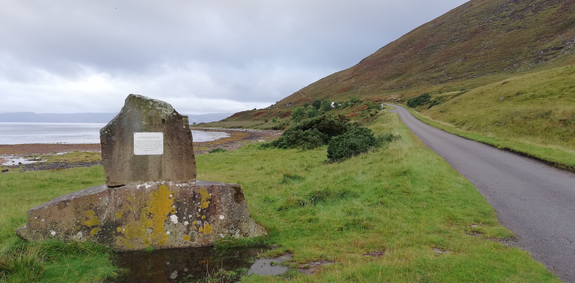
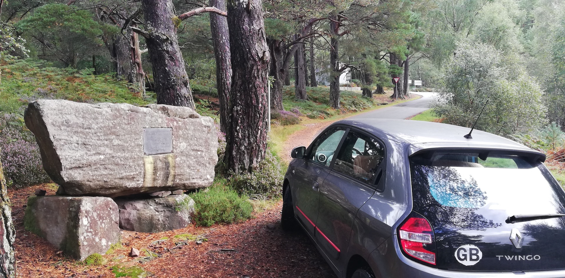
I drive to Shieldaig by the coastal Applecross Peninsula route, and experience an adventurous, most exciting trip through a rugged landscape with the sea at my left. The Applecross to Shieldaig road (a final section of 14 miles) was only opened on 18th September 1976 by H.R.H. Princess Margaret, Countess of Snowdon. 3 miles were constructed by Messrs. R.J. McLeod Contractors, Glasgow, and 11 miles by direct labour of the Roads and Transport Department. I read this explanation on a light grey metal plaque with black engraved letters, slowly vanishing due to growing lichen.
In multiple places, huge gaps were cut in the red Torridon sandstone. The first part goes east and then north. The view stretches wide and far over the sea, in front of the isles of Raasay and Rona and the Trotternish ridge of the Isle of Skye, bathing in the morning sun. Further on is the open sea to the Outer Hebrides.
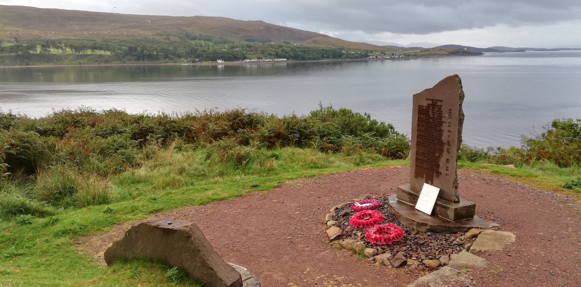
I make a few stops, the first at the War Memorial across the Applecross hamlet. 12 soldiers died during WWI. WWII took 5 Applecross’ lives.
The next stop is the BUTEC (British Underwater Test & Evaluation Centre) site entrance of the MOD near Applecross Sands.
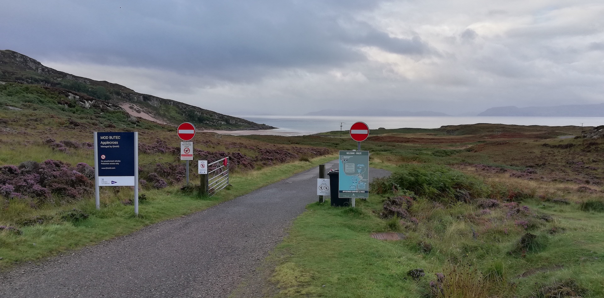
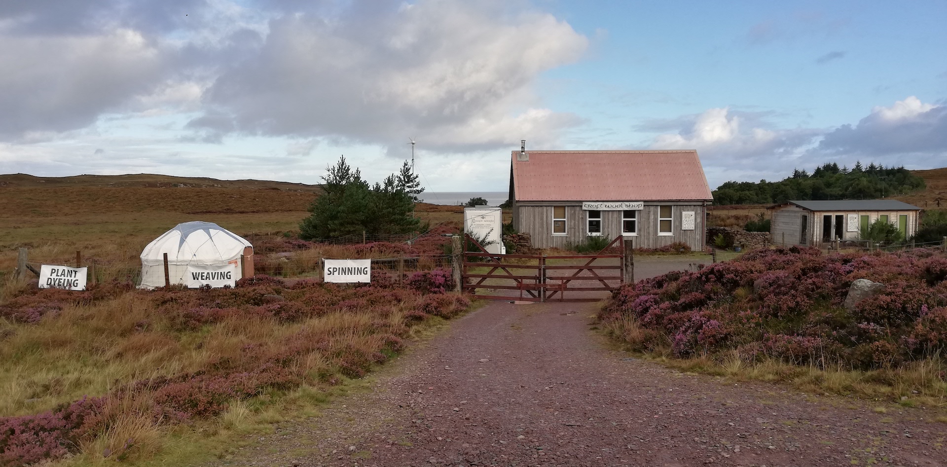
An information board highlights all about a dozen points of interest. At the bottom, Applecross is advertised as A’ Chomraich – The Sanctuary. Let’s keep it like that. A mile north of the hamlet of Cuaig is the most remote wool store I have ever seen: Croft Wools and Weavers.
Near the northwest edge of the peninsula, the road swirls more inland through a patchwork of lochans (small lakes).

At Fearnmore, the road turns to the southeast with a view of Loch Torridon and goes up and down with many twists and turns. The northeast shore of Loch Torridon is characterised by high lumps of rounded hills, bare Lewiston Gneiss partly covered with rough vegetation and old Caledonian forest and temperate rainforest. I briefly stop at the entrance of the village of Kenmore. Still, early morning, the sun shines straight into my face when snapping the landscape.
At the end of the road, with the road’s junction from Lochcarron to Shieldaig (Torridon/Kinlochewe), another plaque reminds us of the construction of the road. The Shieldaig – Kenmore road was constructed between 1965 and 1970 and was opened by H.R.H. Princess Margaret, Countess of Snowdon, on 11th May 1970.
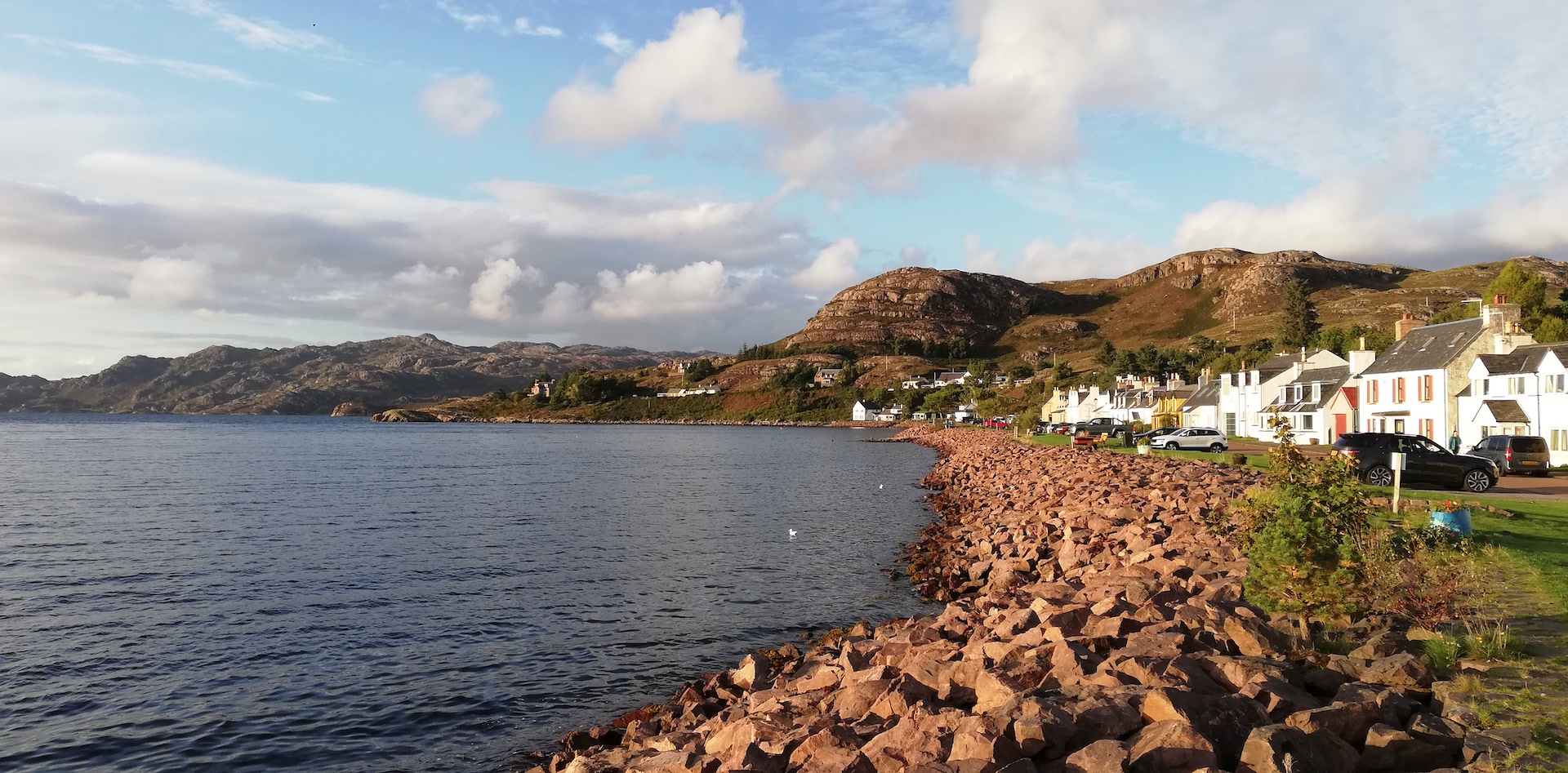
After a brief stop in Shieldaig, I follow the south shore of Loch Torridon and arrive in Torridon village, where I first pitch my tent, have breakfast (there is only tea, coffee and scones because of staff shortages) at The Torridon Stores & Cafe and continue my planned adventure for the day.
I write a bit and drive west along the north face of Upper Loch Torridon. Just before the winding road turns left to the Beinn Alligin Car Park, I mark a Thomson picture in the middle of a beautiful stretch of Caledonian forest, take a snapshot and continue west. Just above Inveralligin, a hamlet at the shore of the loch, I am looking for another Thomson, but I need clarification. From there, the road ascents into the mountains and ends after more than 30 minutes for nearly 10 miles in Lower Diabaig, a typical End of the World spot. The road is a dead end.
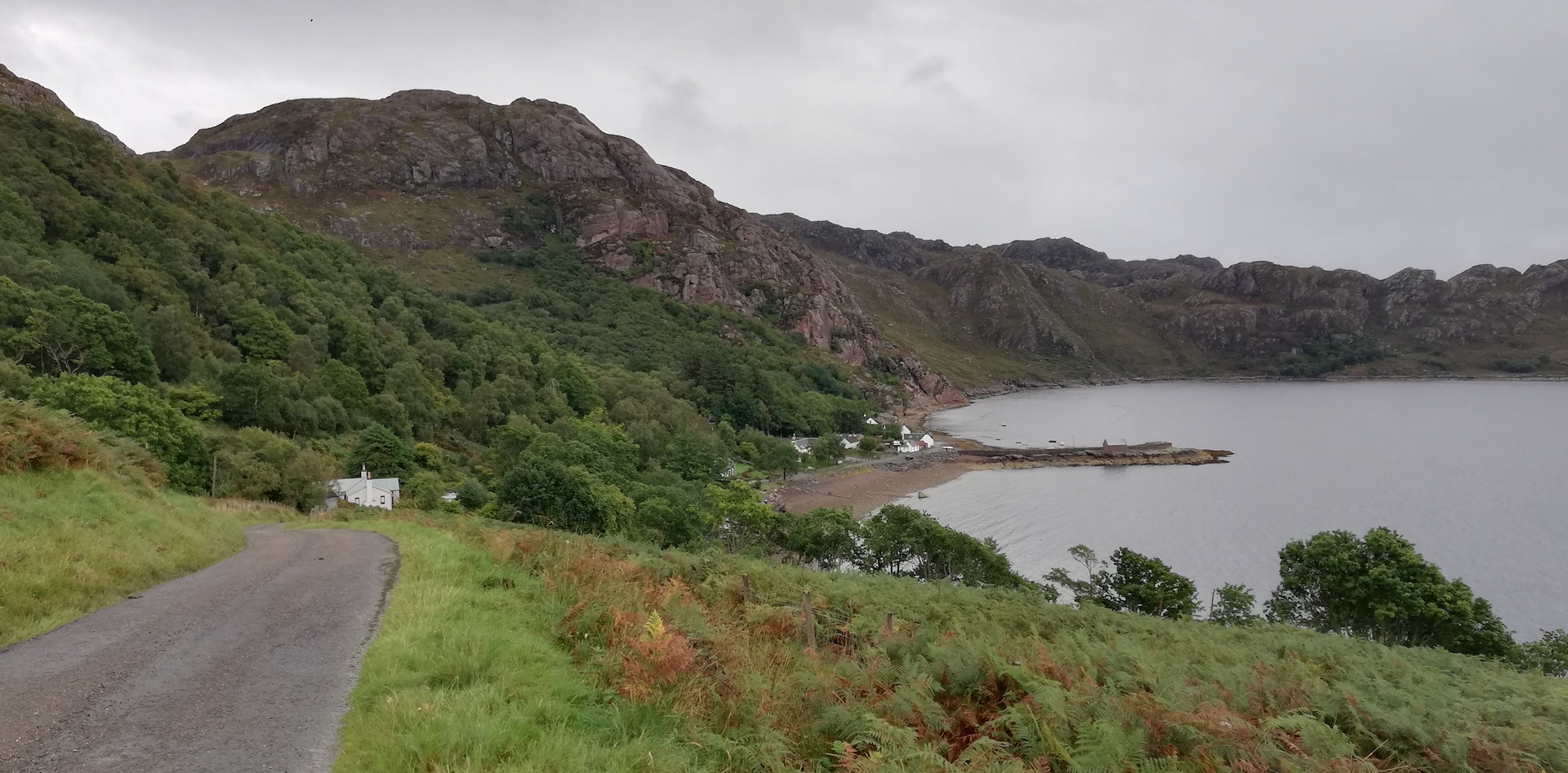
There is a reason for my visit. A few years ago, a chunk of land, several acres, mostly woodland, with a stone building, was for sale. I favoured buying the lot, but after a few weeks, I decided it would be a crazy plan. I want to have a look now I am nearby. I walk on the land covered with bracken and crooked deciduous woodland, which I catalogue as temperate rainforest.
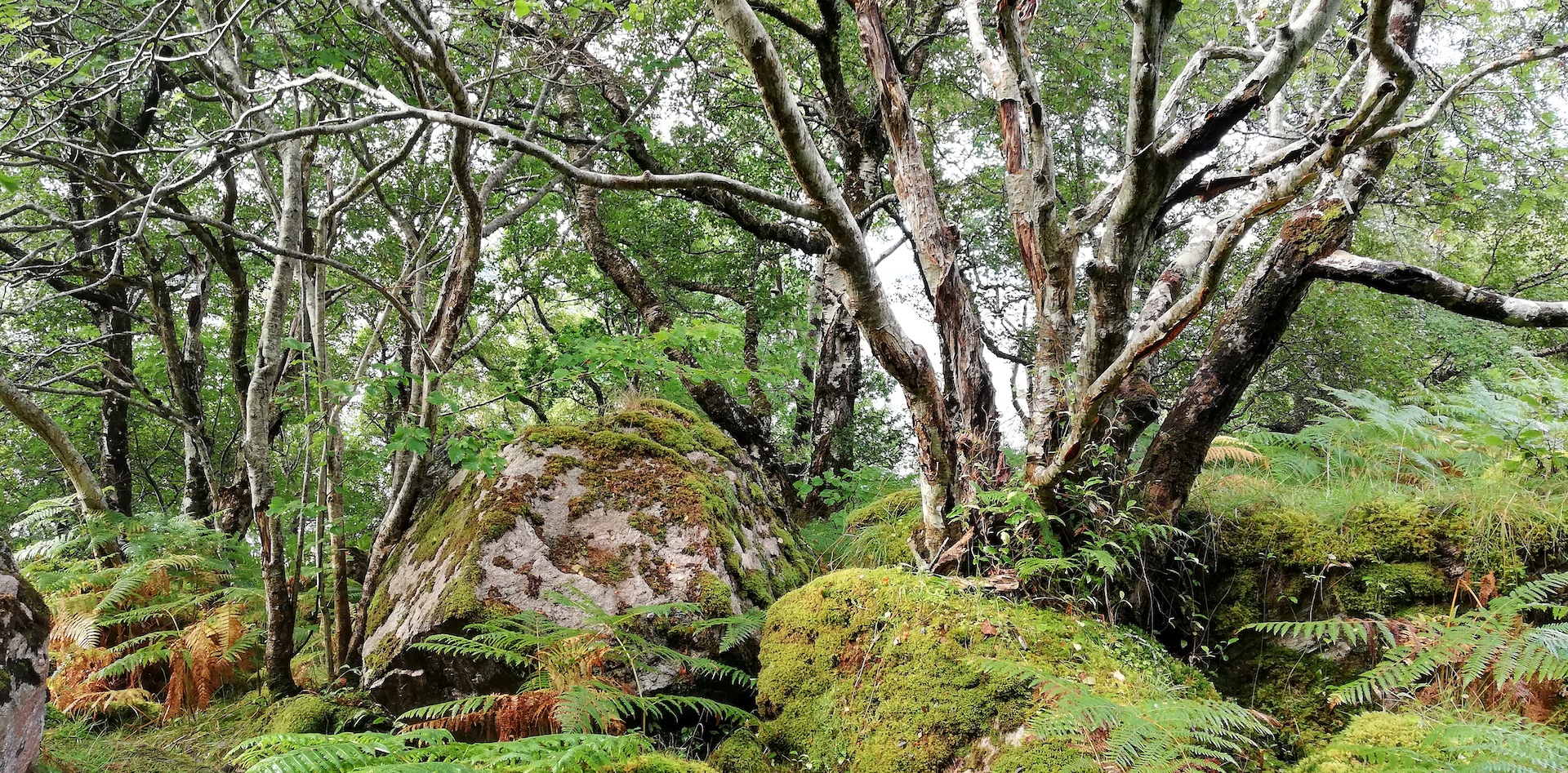
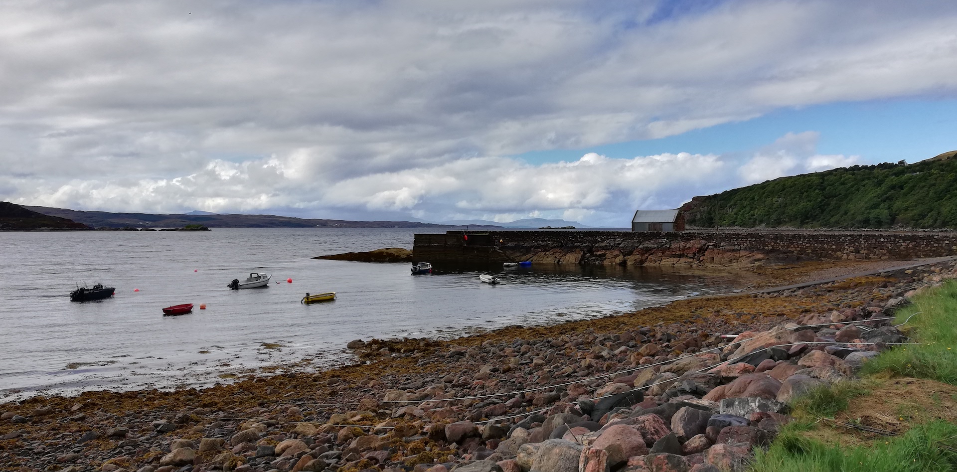
The stone building has two solid and closed-off doors. I glare through a small window at the back but can’t see much. A wade through bracken – there is a footpath – and on rocks in between the trees and go back to the car. From the jetty, I look northwest towards the open sea and notice that every end of the world also has a new beginning.
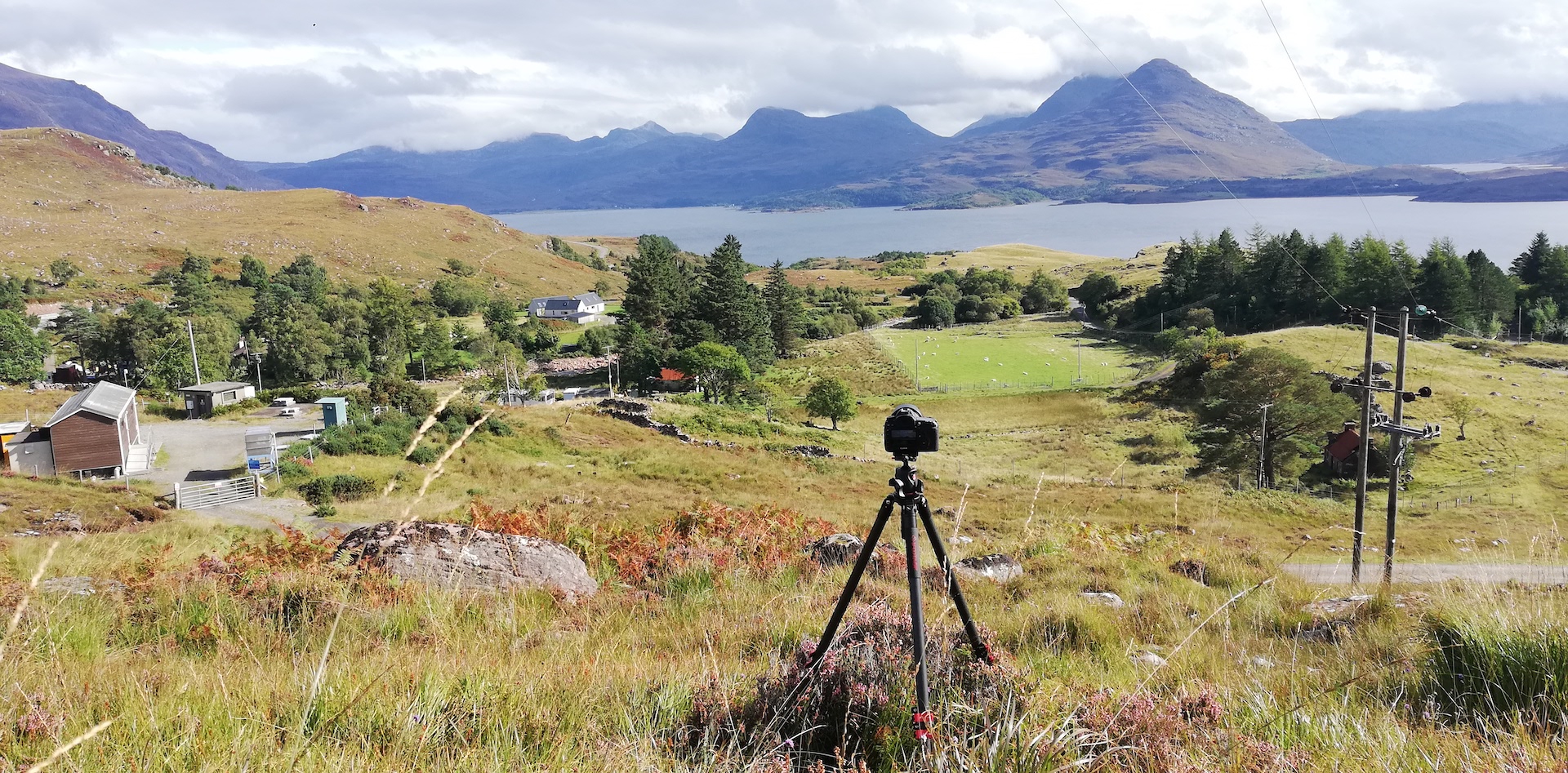
I return to Torridon and find where Thomson took the photograph to the south towards the mountains south of Upper Loch Torridon, published in Let’s See Wester Ross. It is just 25 yards up the hill near Bealach na Gaoithe Viewpoint, opposite a small building of Scottish Water. I search for about two hours to pinpoint the exact place, thinking I have a near match. I persist and do more than scouting because the weather is reasonably good.
Then, further down again to the Beinn Alligin Car Park, where I take my gear out of the car. I also find the spot of the photograph published in Let’s See The Northern Highlands, but the exact point is close. The main reason is young birch trees are blocking the view. First, I take a remake more to the left with nice light because the sun is still out. Then I take a second remake, much closer towards where Thomson took the original one.
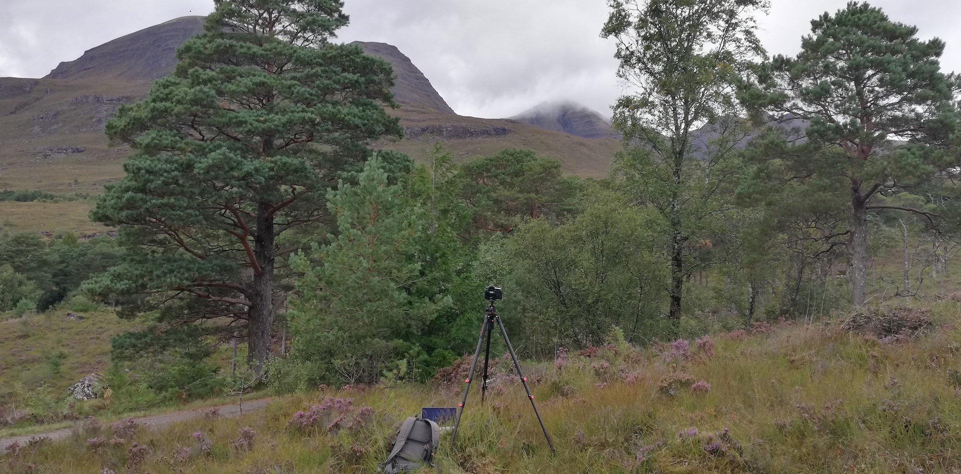
By that time, clouds cover the sun and the view of the mountains, like the Beinn Alligin, in the background. In late winter or early spring, another remake should be better.
Just before closing time, I buy some food at the Torridon Store and continue my adventure towards the south face of Upper Loch Torridon with a view of the Torridon Hills in the northeast. There, a Thomson photograph was published as part of a lettercard (a series of photos printed on lighter paper and plenty of room on the back to write a long letter home). In the foreground of the picture are two distinctive rocks. Scanning the area – I hiked up the slope for 15 minutes without any result, knowing this is not the right place (I should go more to the west and higher up).
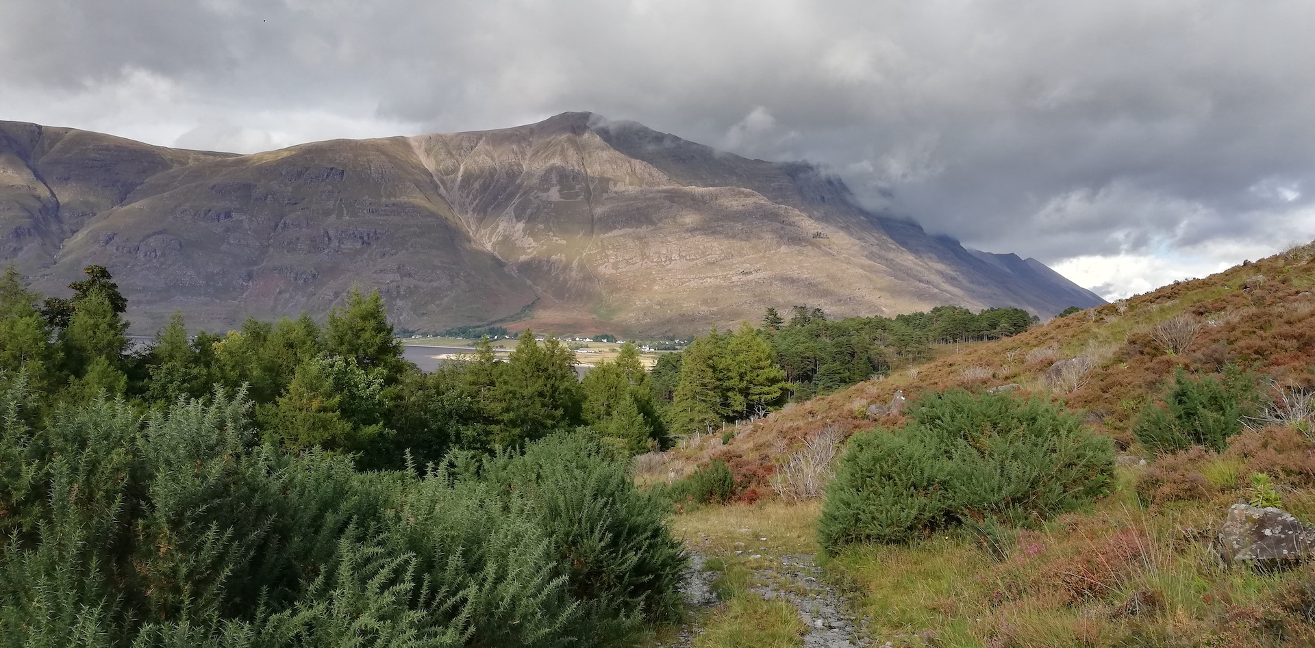
Thomson must have gone for a longer hike up the hill between The Torridon (an estate house, now a hotel) and the Loch Torridon Viewpoint, possibly west of Allt Coire Rooill. When returning in the spring of next year, this will take a day’s work.
I decide to have a proper dinner in Shieldaig. I have an excellent plate with plaice, some potatoes and vegetables and a sticky toffy pudding as dessert. Before returning to the campsite, I photograph Shieldaig Island with a setting sun. Minutes before the sunset, a long-stretched cloud spoils the picture. No worries, another chance will come.