
Newbridge Quarry – 1930s
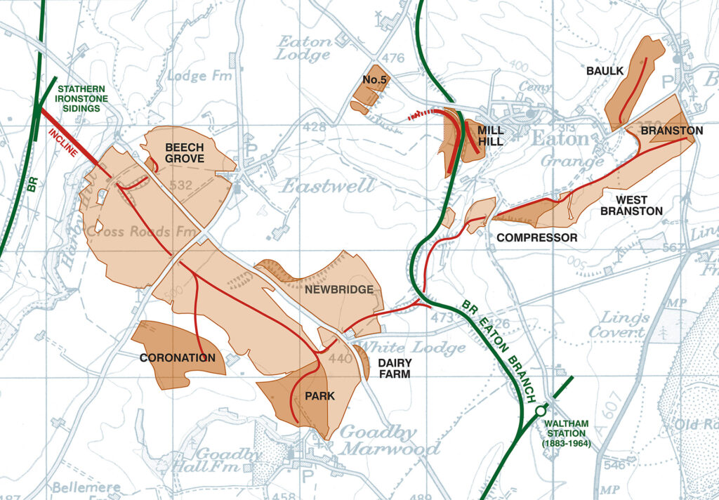
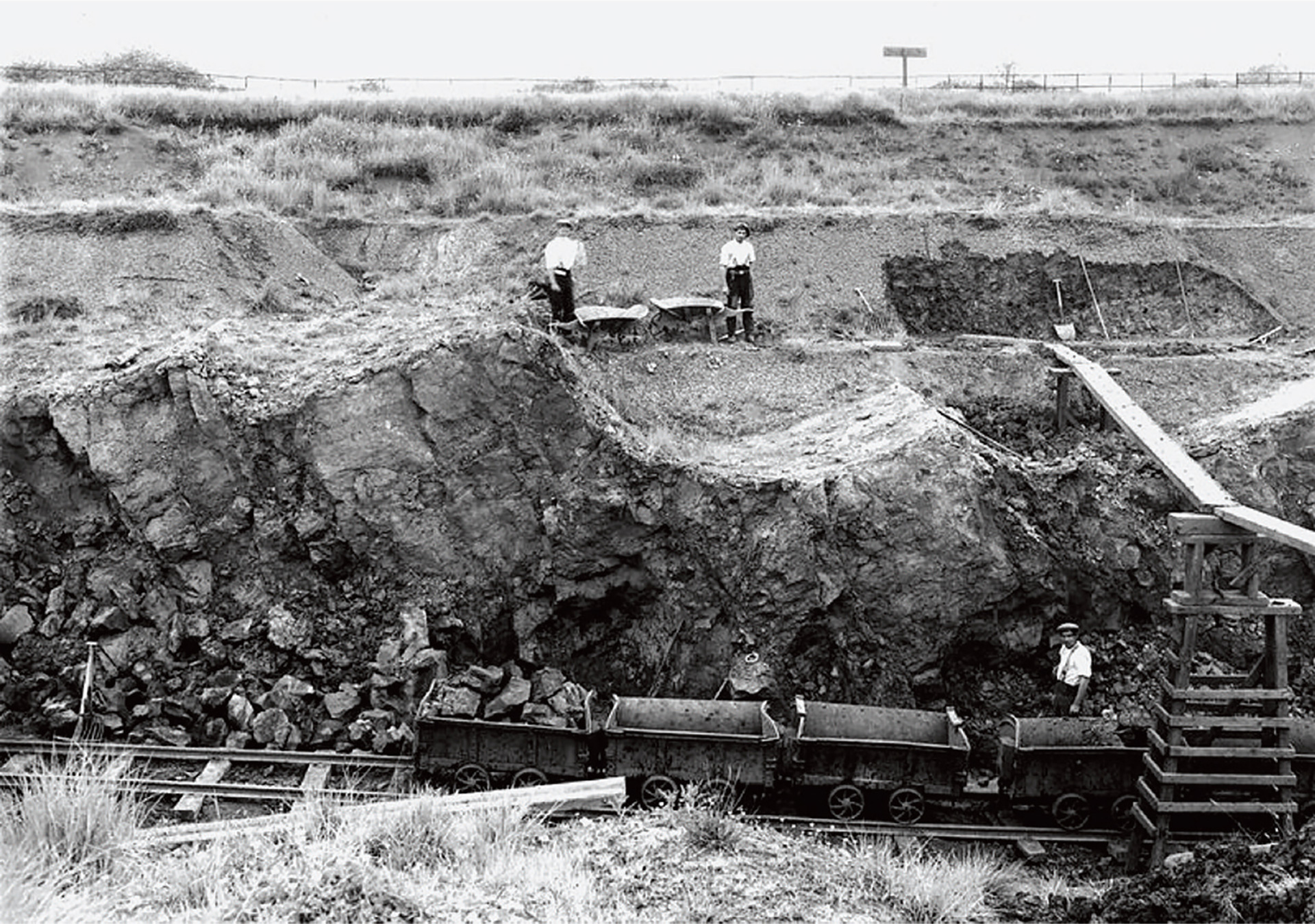
For about 80 years ironstone quarrying scarred the western and southern landscape outside Eastwell village. One of the areas, Newbridge Quarry, started near White Lodge and developed in a northerly direction and adjacent to the Waltham Road. Graham Doyle of Eastwell History Group comments: “It was worked from 1903, throughout the inter-war period, and finally during the mid-1960s.” The old photo taken by the British Geological Survey dates from the early 1930s.
The lighter brown areas show areas already quarried prior to 1946, the darker brown areas show areas quarried from 1946 to closure in 1967. The map only shows Eastwell Iron Ore Co. quarries, and not numerous other ironstone quarries that were operated by other companies.
Quarrying was an arduous job. Graham explains: “The picture shows the plank and trestle method. Workers would remove the topsoil which was stored separately, followed by the overburden to expose the ironstone which is being loaded into the trams. The overburden, also known as ‘ratchel’, was transported by wheelbarrows across the planks over the quarry and tipped on the other side which had been quarried.” It looks like tightrope walking. “It took some skill to push loaded barrows across these planks which were about a foot wide and could be up to 20 feet or so above the quarry floor. The workers pulled the barrows behind them for the return journey”, Graham continues. The photo shows step-faulting in the Marlstone (Ironstone) rock bed, which here is up to 10 feet thick, overlain by up to 15 feet of overburden.
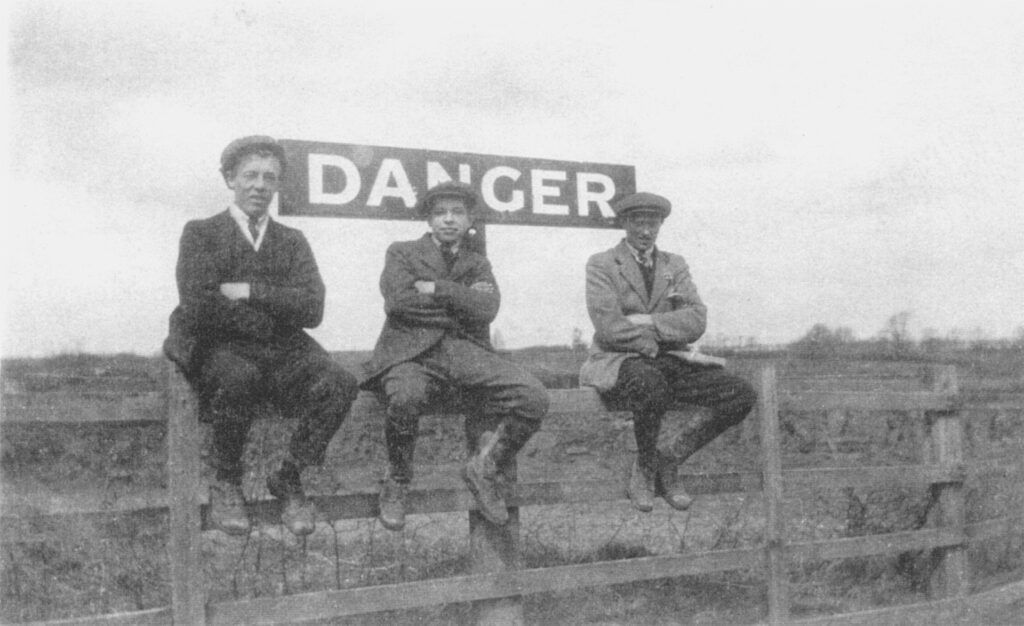
If you have a good look at the top of the old photo, a sign can be seen by the wooden fence. Graham Doyle: “It reads ‘DANGER’ on the other side. This was to warn those riding to hounds of the drop into the quarry on the other side.”
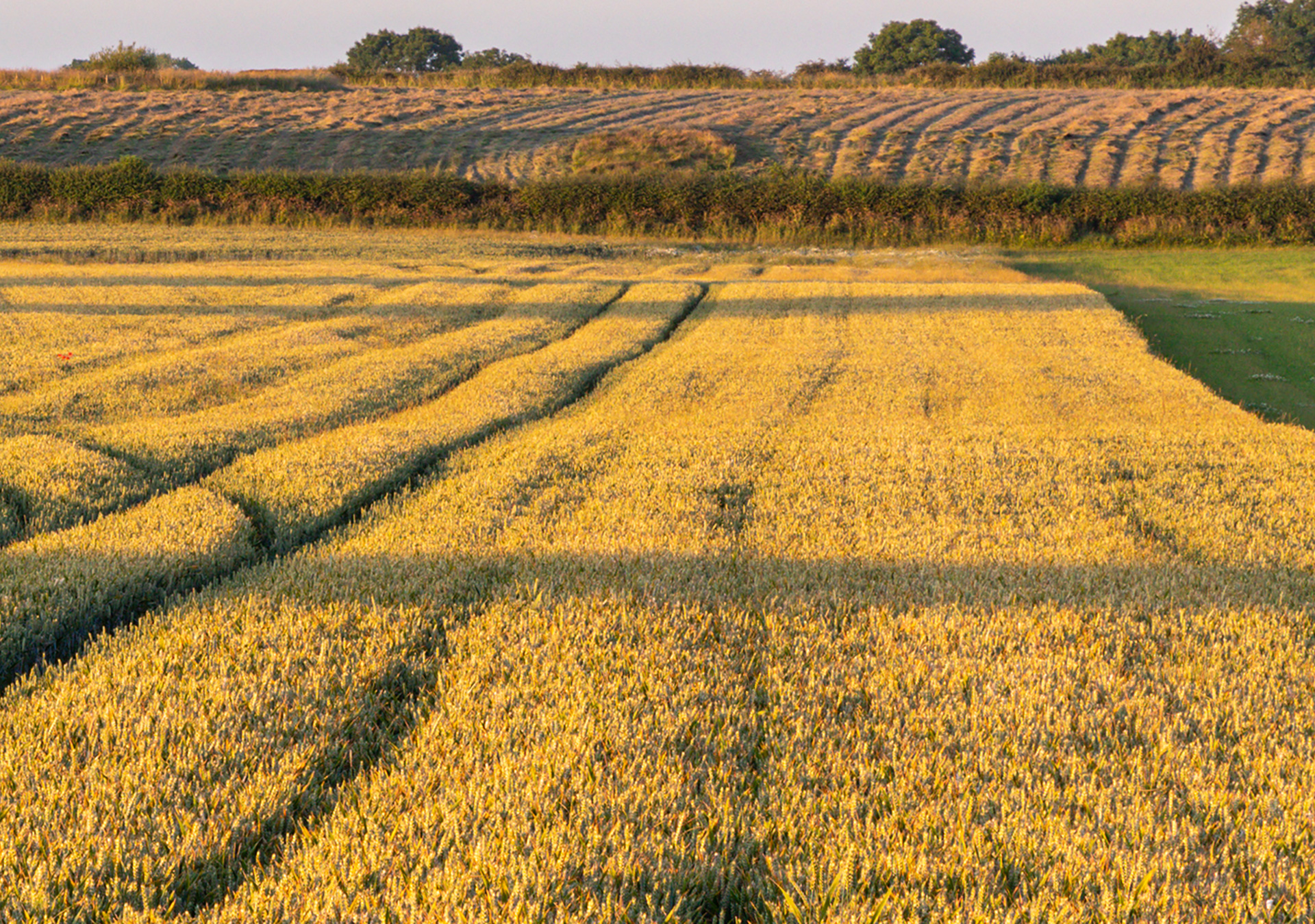
For a remake of the old picture, I can only guess about the exact location. There is no point of reference apart from the fact that the quarried area is lower than the Waltham Road and there is a sudden rise in the field height at the terminal quarrying face as you can see in the new picture. The whole area became farmland again.
Peter Pearson: “My family members worked in the industry: my Dad, my Grandad and my Uncle. I can remember my Dad telling me he worked on the high trestles as shown on some of the pictures, this was in the early 1940s before he was called up to be a Bevin Boy in 1942.”
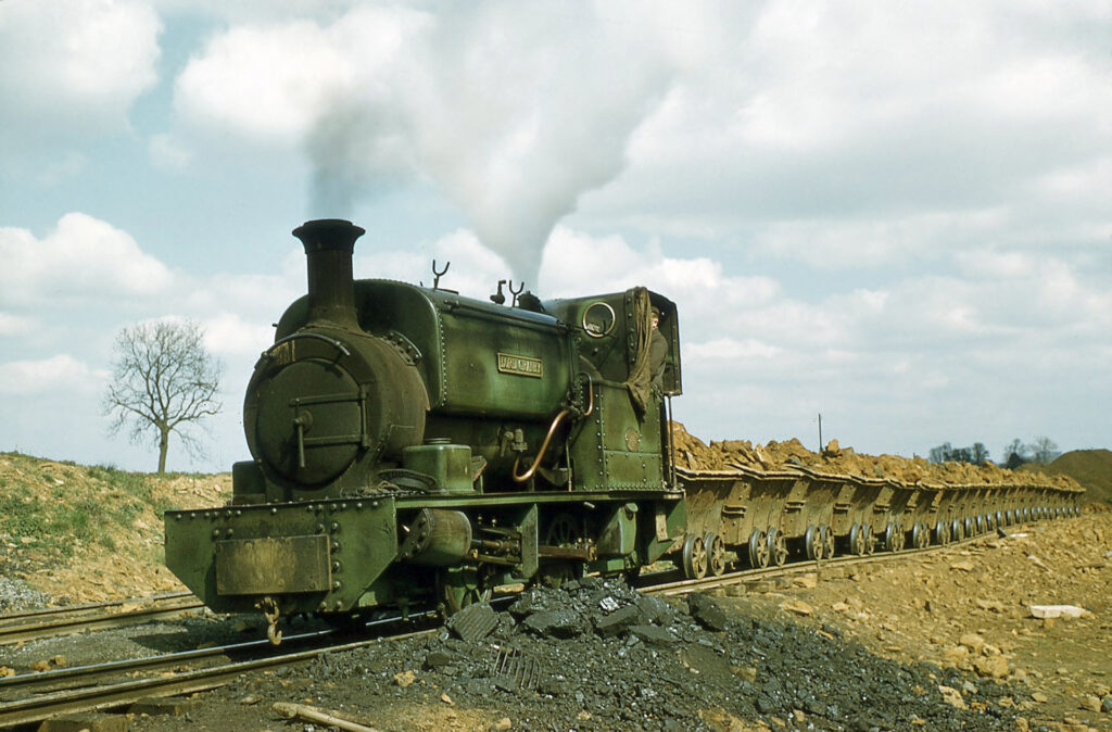
“For years the Eastwell History Group has been preparing for a local heritage centre to tell the story of the once extensive local ironstone quarrying industry”, explains John Wood. A restored locomotive called ‘Lord Granby’ will form its prime exhibit. All locos had a name. “It was the third narrow gauge steam locomotive to arrive at Eastwell Iron Ore Co. and was ordered from Hudswell Clarke & Co. Ltd. in Leeds, on 2nd July 1902, at a cost of £885. ‘Lord Granby’ worked at Eastwell Quarries until taken out of service in late 1957.”
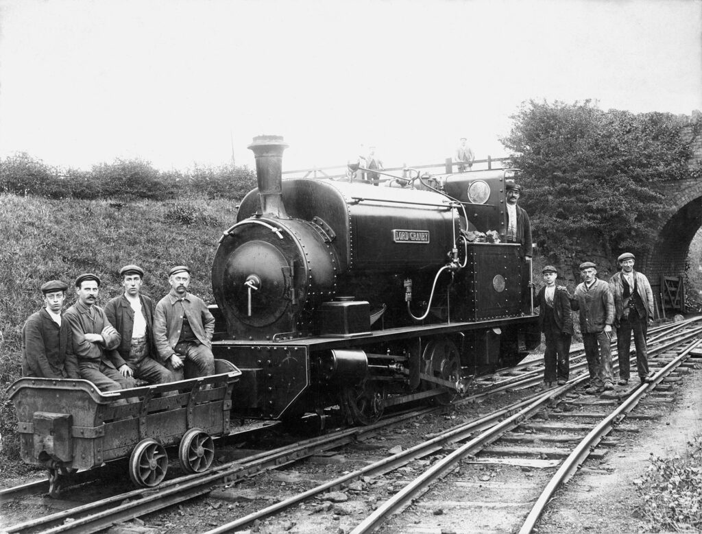
The loco was subsequently saved for preservation, and left Eastwell in 1960 bound for Leeds Museum where it remained. “Until Eastwell History Group repatriated it back to the Eastwell area to undertake a major restoration as a static exhibit.” You can follow this adventure at the Lord Granby of Eastwell Facebook page.
On the village
Saxon items found locally suggest there was a settlement at Eastwell as early as the 5th century.
Eastwell knew three lords of the manor from 1275 to 1921. Lord Brabazon established his seat in Eastwell around 1275 and the current Manor Farm sits on the original site. Court records of 1490 and 1507 suggest that enclosure was at least partially achieved by then. Full enclosure was complete by 1656.
The Brabazons sold the estate in 1653 to Rowland Eyre (thus uniting the two manors) and he built the present Eastwell Hall in 1630. Until 1653 there were two manors, of one little is known but it was owned by a Mr Blith when sold in 1631 to Rowland Eyre. The last Eyre died in France in 1792 and the Estate was bought by the Duke of Rutland a few years later, thus becoming part of his Belvoir Estate. The register of land used for the preparation of the Tithe Award Map in 1847 showed the land owners to be:
- The Duke of Rutland with 1,276 acre, rent for 346 pounds/year.
- Rev. Joseph Bick (Roman Catholic) with 10 acres, rent 2 pounds 2 shillings/year.
- The Rector (Glebe land) 37 acres, rent 6 pounds/year.
- James Smith with 5 acres.
Death duties lead to Eastwell being sold in 1921, primarily to the then tenants.
More pictures
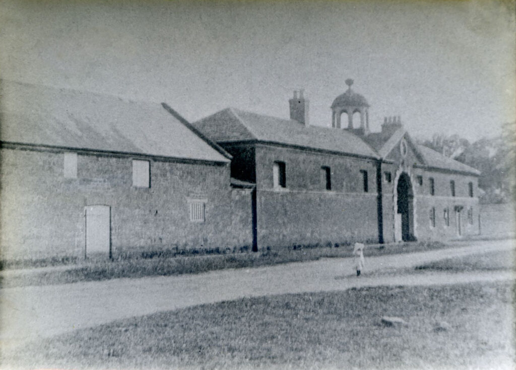
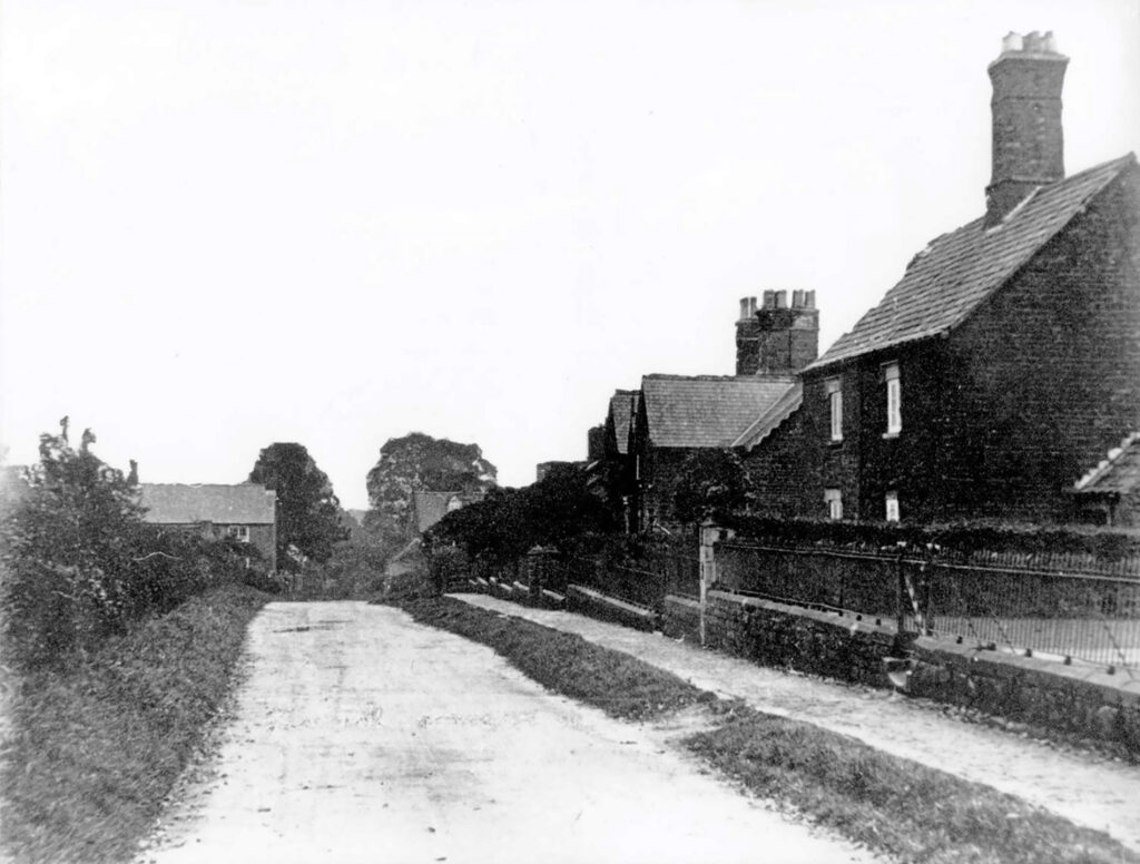
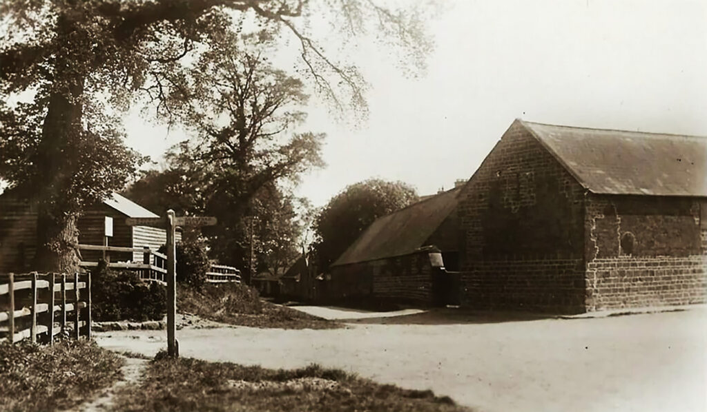
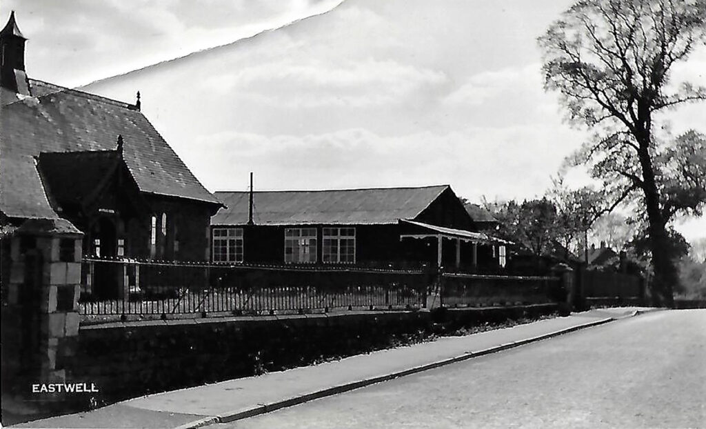
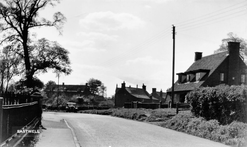
The timeframe for this picture is set before 1914 because the railings were removed for the WW I-effort.
Domesday Book
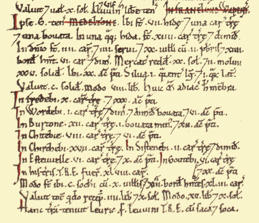
Eastwell was a settlement in Domesday Book, in the hundred of Framland and the county of Leicestershire.
It had a recorded population of 28.1 households in 1086, putting it in the largest 40% of settlements recorded in Domesday, and is listed under 2 owners in Domesday Book.
Land of Geoffrey of la Guerche
- Households: 30 villagers. 100 freemen. 27 smallholders. 4 slaves. 2 priests.
- Ploughland: 48 ploughlands. 4 lord’s plough teams. 49.5 men’s plough teams.
- Other resources: Meadow 104 acres. Woodland 1 * 1 furlongs. 2 mills, value 1 pound 5 shillings.
Valuation
- Annual value to lord: 23 pounds 10 shillings in 1086; 9 pounds 10 shillings when acquired by the 1086 owner.
Owners
- Tenant-in-chief in 1086: Geoffrey of la Guerche.
- Lord in 1086: Geoffrey of la Guerche.
- Lord in 1066: Leofric (the noble) son of Leofwin.
Links
- Eastwell Village History Group
- Lord Granby of Eastwell Facebook page
- Ironstone Tramways of the Midlands in The Industrial Railway Record – No.1 – p6-15 – November 1962