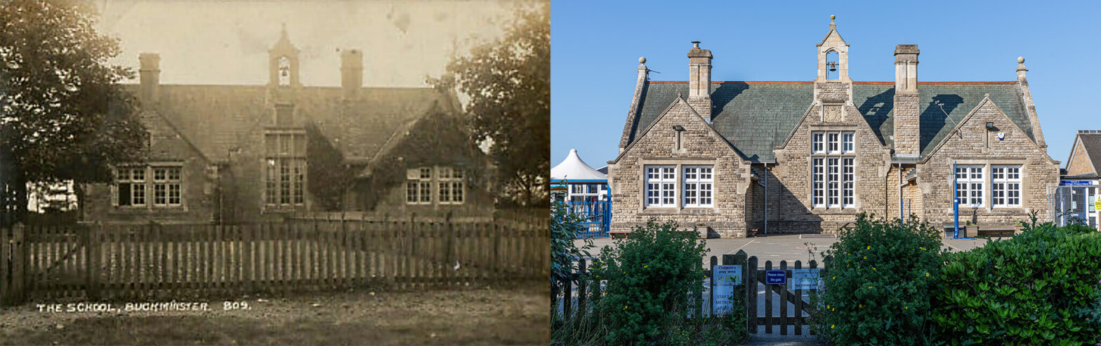
Primary School – 1910s
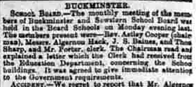
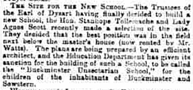
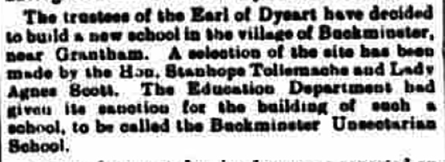
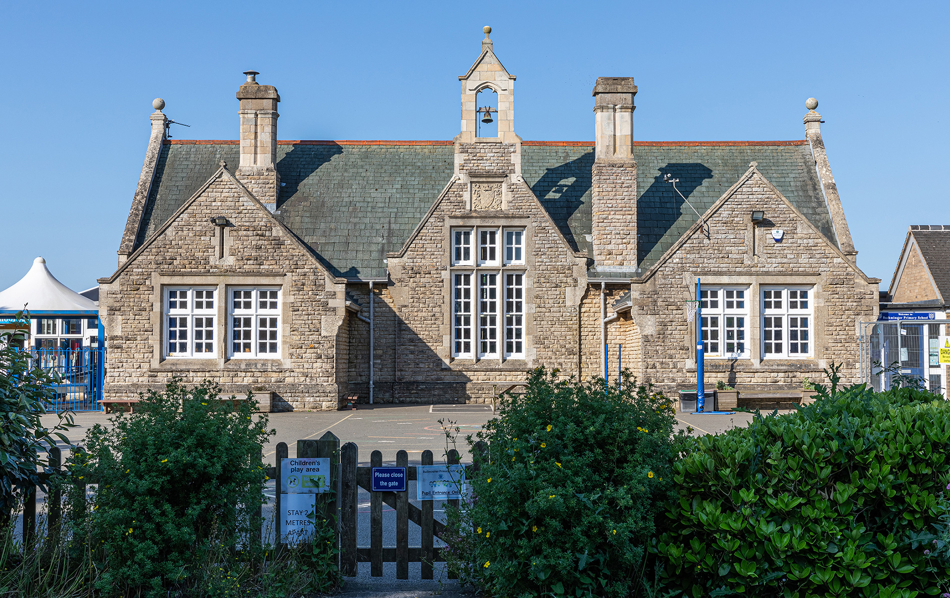
School Lane is one of two roads from Buckminster to Sewstern. It is bordered by open fields. Almost mid-way, on the border between the villages, a 20 mph sign indicates there is a school, Buckminster Primary School. At first sight, it may appear to be an unusual spot, but historically speaking it was somewhat obvious. Pamela Fisher, author of The Victoria History of Leicestershire: Buckminster and Sewstern, explains: “To meet the requirements of the 1870 Education Act a single school for both villages, with 56 places for Buckminster children, and 41 for Sewstern, was recommended. It took many meetings and several years, eventually deciding to lease the existing National (Church of England) school in Buckminster, which was already situated halfway between both villages, and to extend its premises to accommodate 110 pupils. An offer from William Tollemache, 9th Earl of Dysart, to build a non-denominational school, was turned down.”
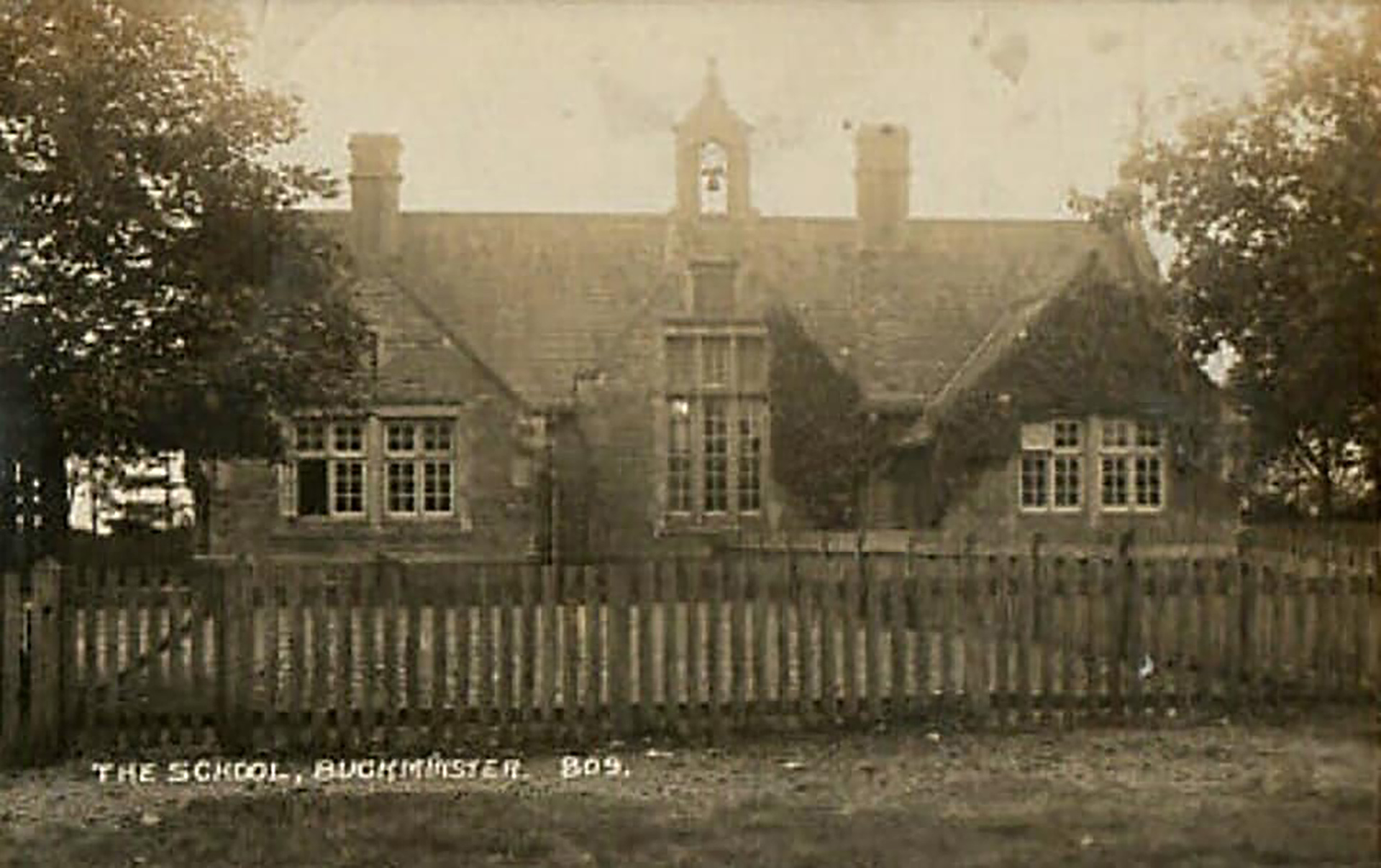
Warwick Aubrey Watkin, who is much interested in the school’s history explains that the school on the old postcard is not the one which was extended. He was a pupil there from 1995-2002 and returned 9 years later in 2011 as the school’s premises officer. “The school on the postcard is a mirror image of the original school that stood across the road and was eventually demolished.”
Old Ordnance Survey maps indicate the site of the school before and after 1899. Click on the thumbnails to enlarge.
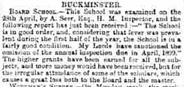
But why a new school? Pamela Fisher explains: “The lease expired in 1897. The school had closed three times in 1896 due to outbreaks of fever, believed to be due to poor ventilation, and a government surveyor condemned the whole building. The school board approached Lord Dysart again and he agreed to provide a one-acre site almost exactly opposite the master’s house and to cover the capital cost of the building, provided that the school was non-denominational.” The school was opened in 1899.
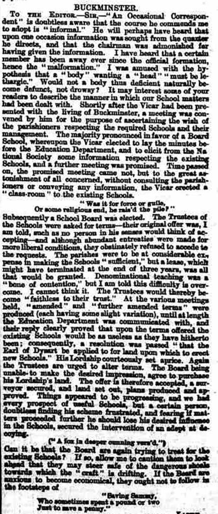
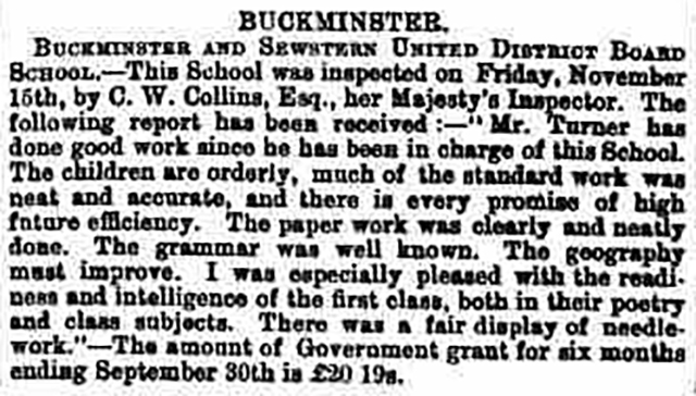
Browsing through The British Newspaper Archive, news clippings from the Grantham Journal, often just a few lines, gives a good description of the story of the school buildings.
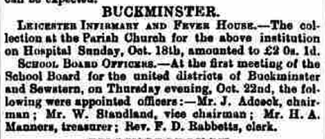
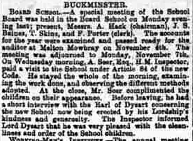
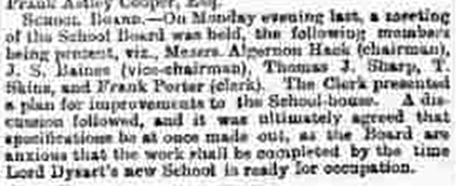
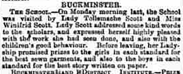
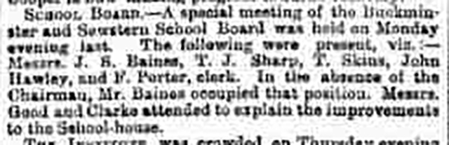
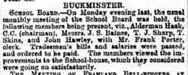
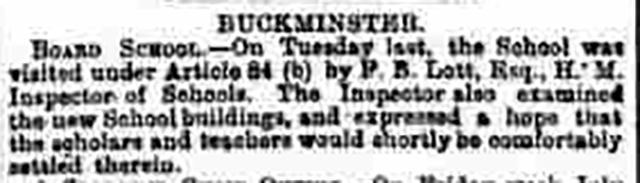
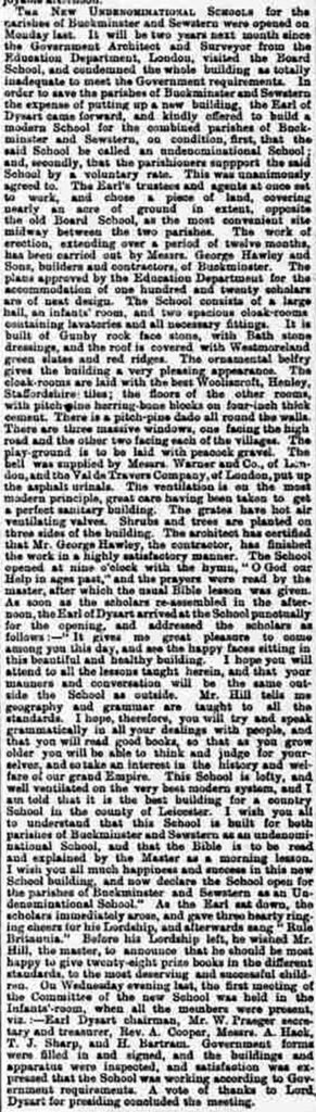
Now on both sides are some new smaller buildings. Katy Merrick Rate observes: “The new building to the left is the preschool where my little girl goes, a nice little homely environment. My other girl is in year 1 when she returns. One of the reasons we picked it is how beautiful the school looks just like my dad’s old village school from the 1960s.”
“My mother, Marion Carvath, taught the infants at Buckminster for four years up to the end of 1964”, recalls Paula Jayne Carvath. “It is still a very popular school.” Simon Exton replies: “I remember well!” Wherever it is located, going to Buckminster Primary School is a tradition for families from both villages. “My son is the fourth generation in the family to go there”, concludes Ed Robinson.
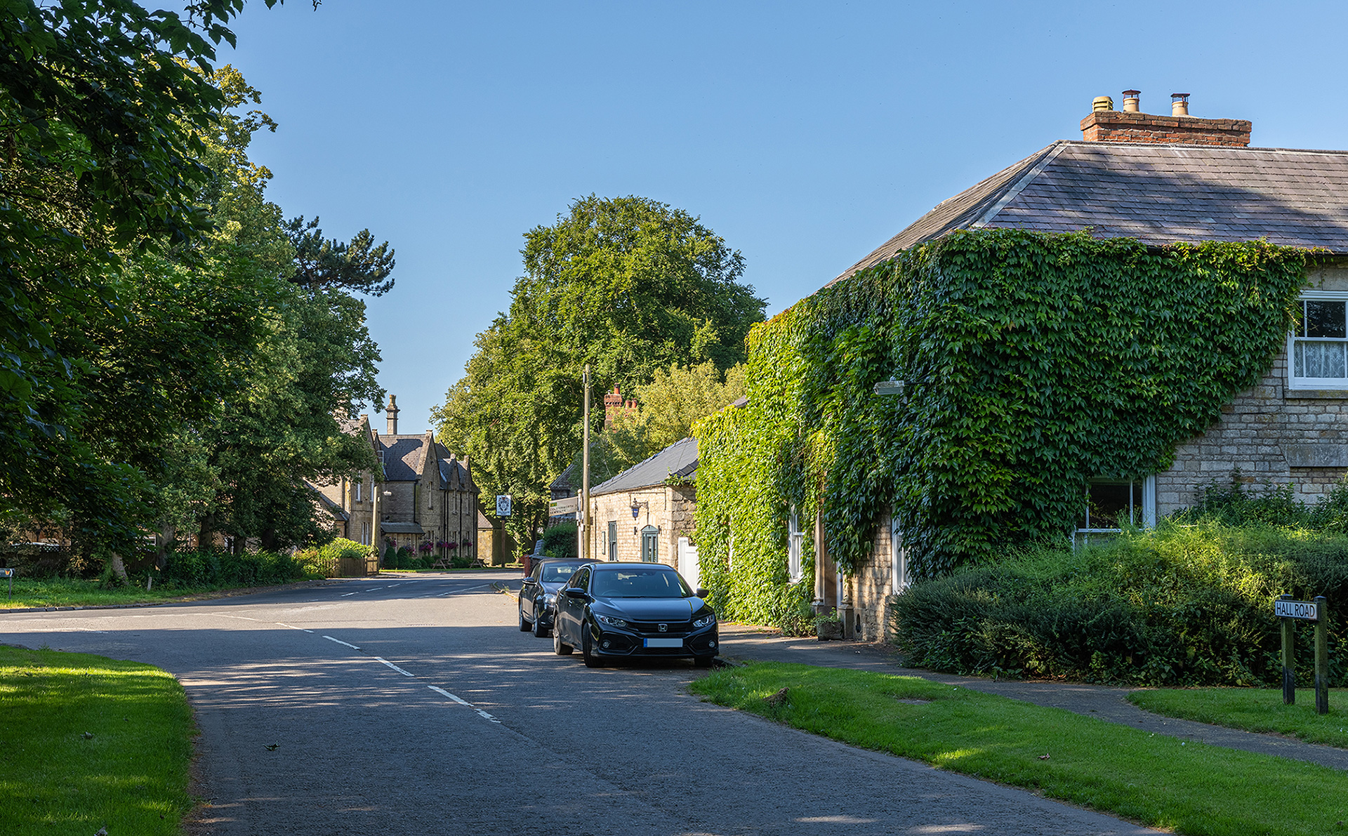
Hall Road and Main Street

The property on the right, covered in Virginia Creeper is Ivy House. Next to the left, was the blacksmiths shop, run in the early 1900s by Thompson Skins. In the background, on the other side of the road stands the Dysart Arms Hotel, now also the village pub. In the early 1900s Arthur Wells was the proprietor.

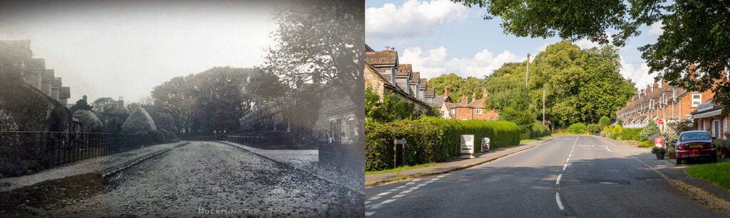
Main Street
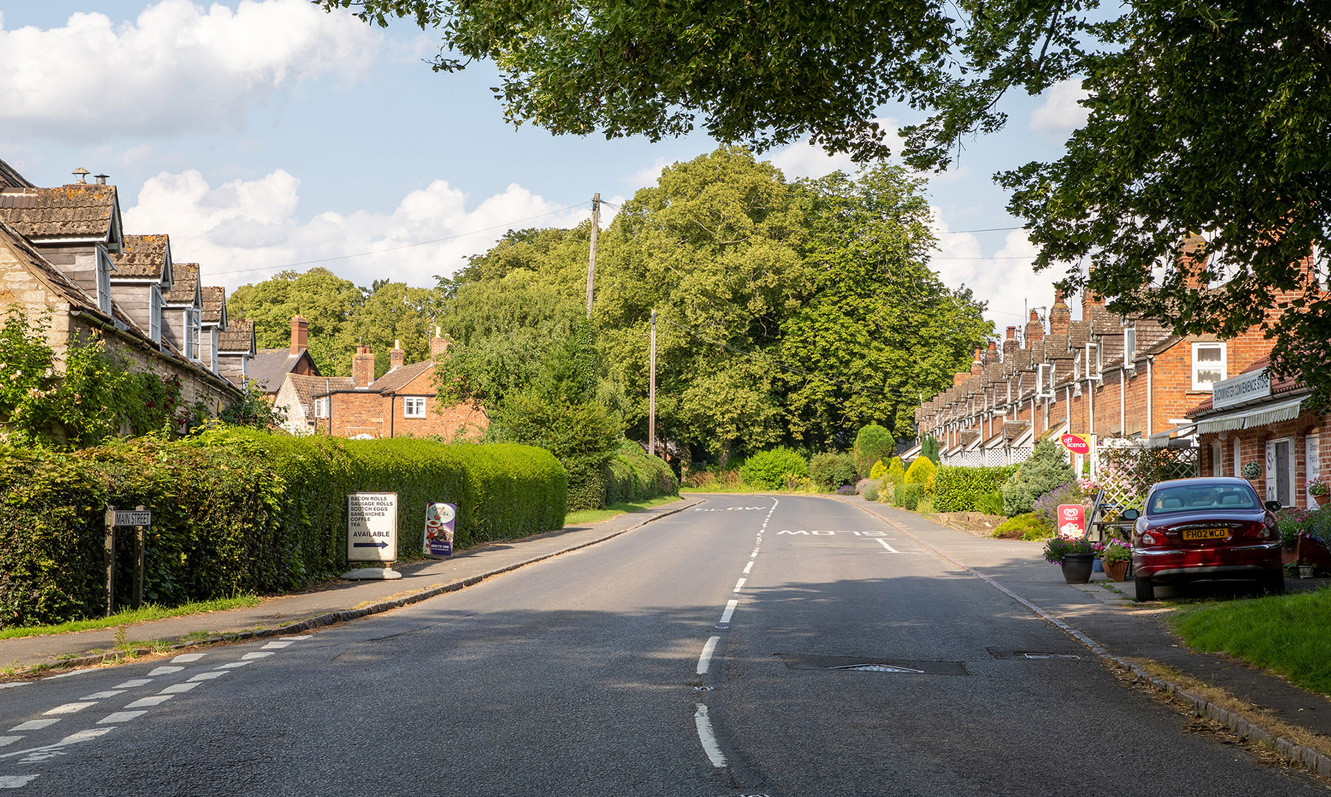
The buildings on this part of Main Street, seen from the junction with Coston Road and Sproxton Road, are still all in place. At the left, the house in the foreground, is a single house with five dormers. It is called Stonelea and is one of the few limestone buildings in the village. Margaret Lowe: “Stonelea was in the past also a public house and served as a farm.”
On the right is Cow Row, a terrace of 17 brick cottages built between 1821 and 1831. “A terrace of 35 one-bedroom houses, named Bull Row, and similar to the later constructed Cow Row, where built by 1806 on the approach to the village from the south, Coston Road”, knows Pamela Fisher. “Bull Row was demolished and replaced in 1886-8 by 18 semi-detached family homes on large plots, including The Crescent. With three bedrooms, a half acre garden and an outhouse, these ‘little’ palaces’ were praised in 1893 by their design and quality by assistant parliamentary commissioner William Bear.”
Also on the right where the car is parked is Buckminster Convenience Stores. “I worked in Buckminster stores when we first moved up to Buckminster 18 years ago”, recalls Alison Bashford. “There were old pictures on the wall apart from anything else it has been, such as a blacksmith.” In the past there has also been a small petrol station.

Sproxton Road
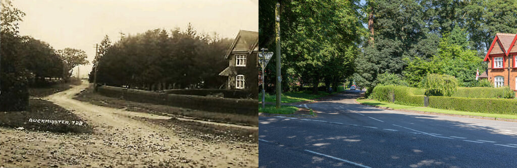
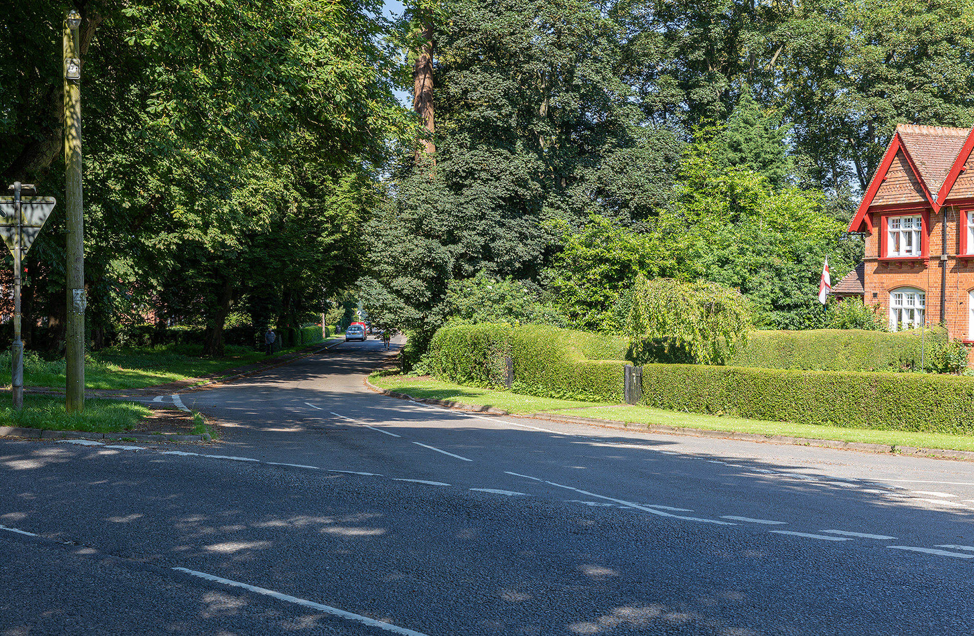
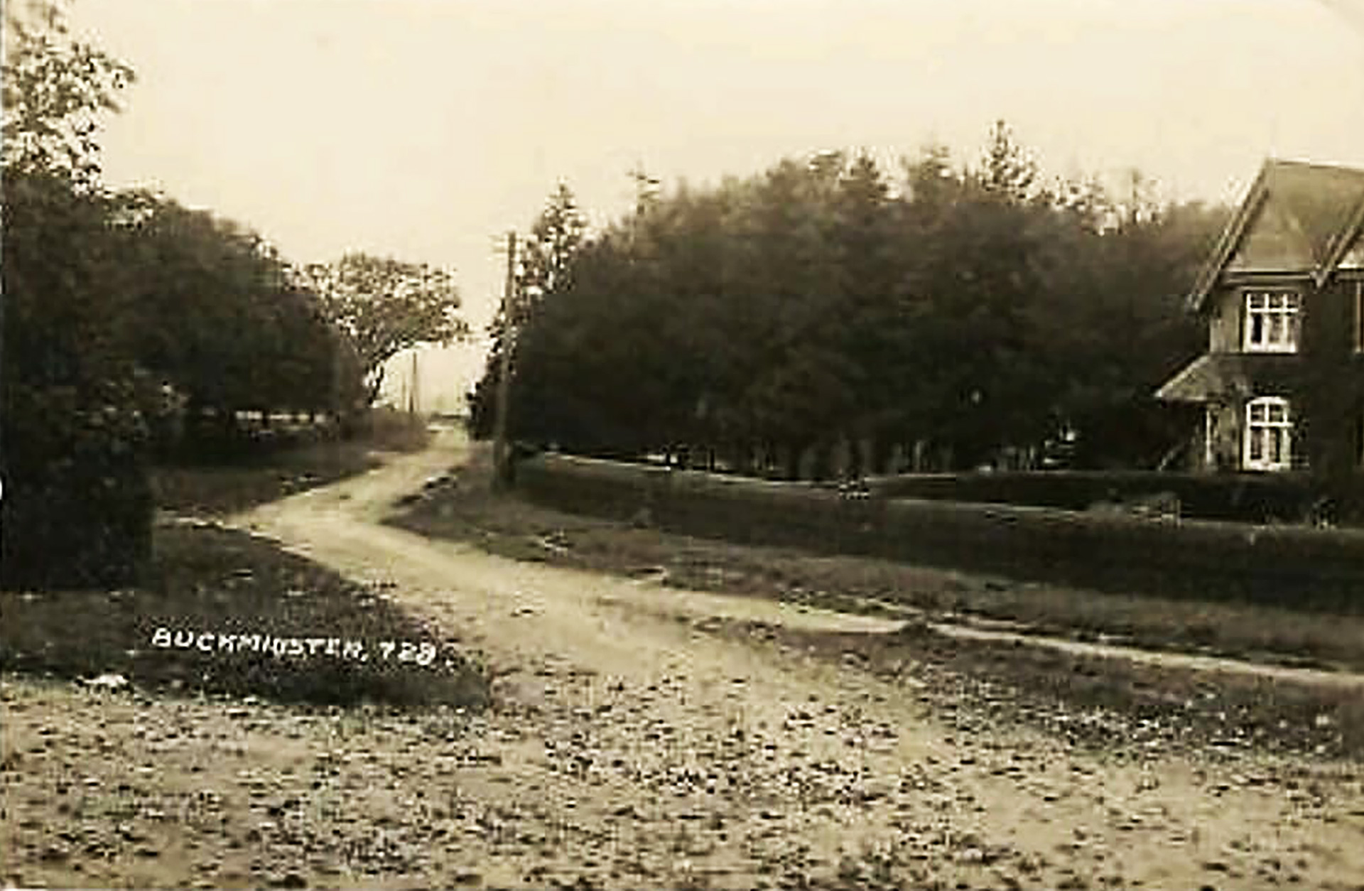
Standing nearly in front of the village store there is this view into Sproxton Road, and left Coston Road junction. The two houses on the left are hardly changed. It are two of the already mentioned semi-detached family homes, better known as The Crescent.
More pictures
Domesday Book
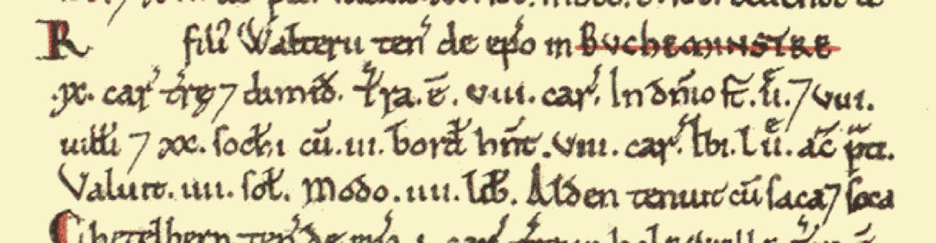
Buckminster was a settlement in Domesday Book, in the hundred of Framland and the county of Leicestershire.
It had a recorded population of 31 households in 1086, putting it in the largest 40% of settlements recorded in Domesday.
Land of Lincoln, bishop of St Mary
- Households: 8 villagers. 20 freemen. 3 smallholders.
- Ploughland: 8 ploughlands. 2 lord’s plough teams. 8 men’s plough teams.
- Other resources: Meadow 52 acres.
Valuation
- Annual value to lord: 4 pounds in 1086; 4 shillings when acquired by the 1086 owner.
Owners
- Tenant-in-chief in 1086: Lincoln (St Mary), bishop of.
- Lord in 1086: R. son of Walter.
- Lord in 1066: Healfdene (son of Topi).
Links
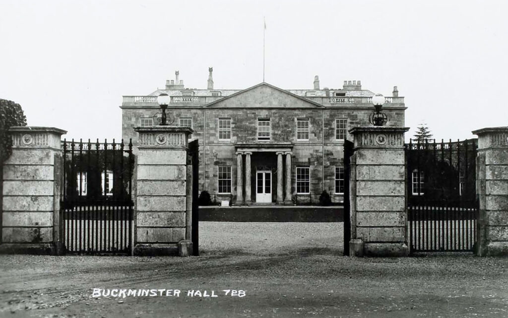
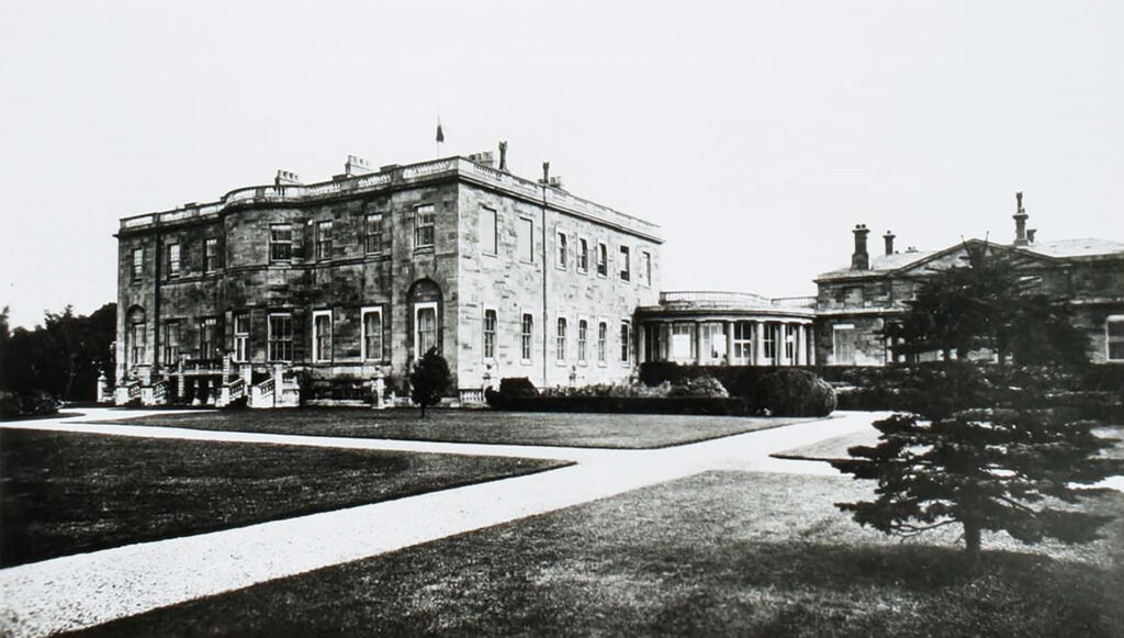
- Historic England – Architectural Red Box Collection: Mainly pictures from the National Buildings Record Buckminster Hall and Park (1950)
- The Victoria County History of Leicestershire – VCH Publication on Buckminster and Sewstern