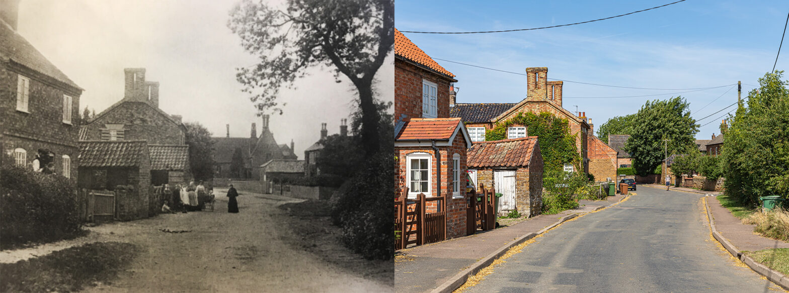
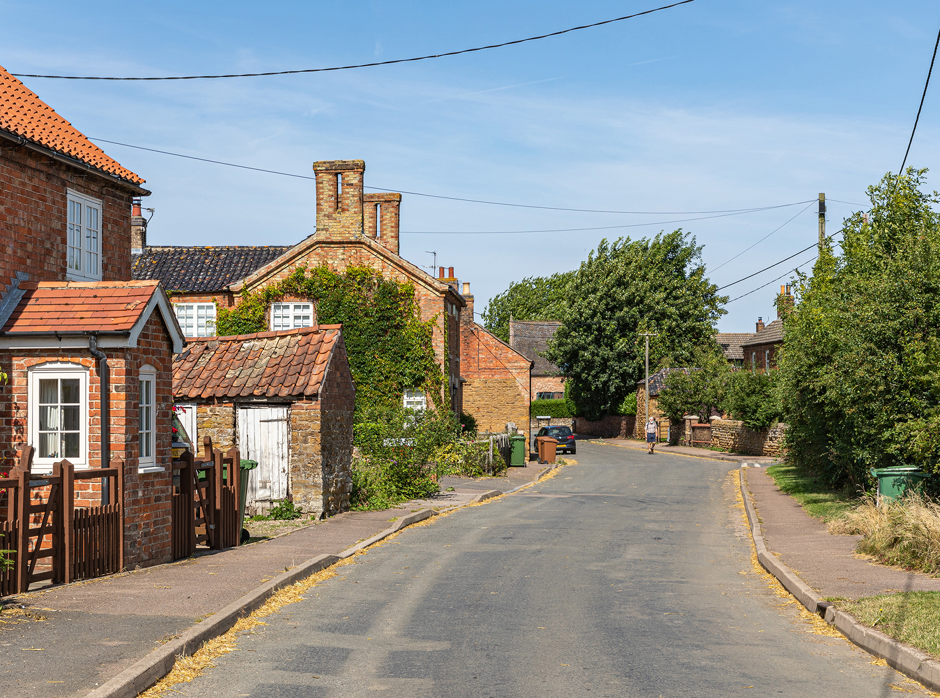
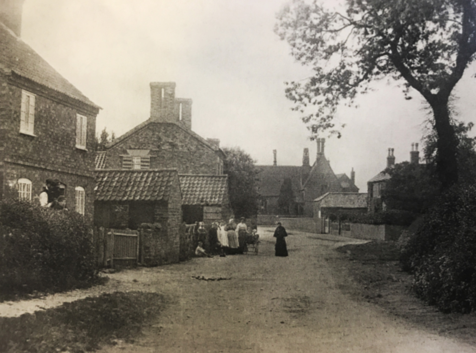
Chapel Street – Early 1900s
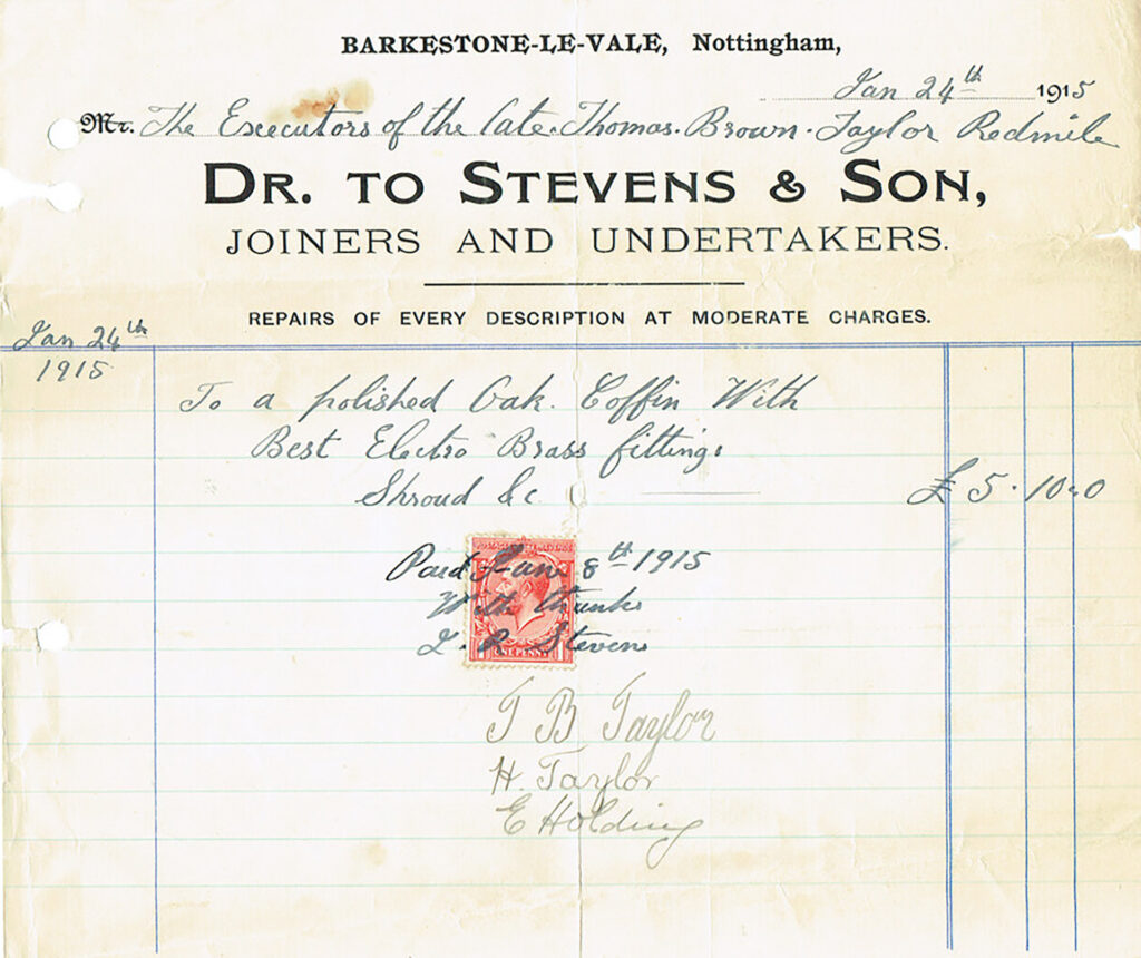
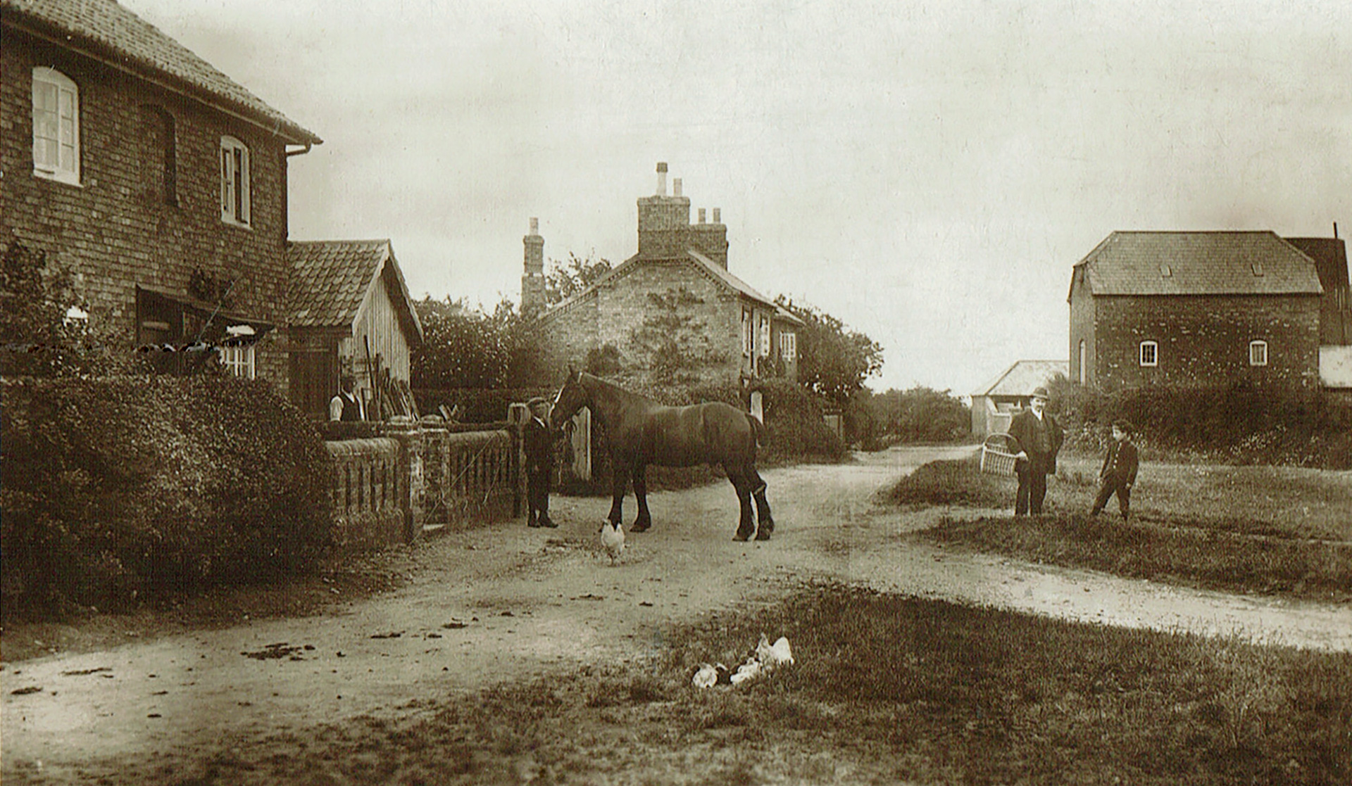
Women and children gather in front of two outhouses on Chapel Street. The second outhouse was demolished when the land behind was developed and five houses were built along Orchard Close. There I met Stephen Giles who has been living in the village for about 15 years and has a keen interest in its local history. Stephen stated: “The house behind the two outhouses is Orchard Farmhouse, kept by the Stevens family.” Richard John Stevens added: “I have records of my family living there since the mid-1700s. My great-great-grandfather ran a repair shop as a wheelwright and carpenter from a workshop attached to the house. Later generations built a farm behind the house known as Orchard Farm. My father sold the farm for development in 1999 and the house was also sold.” Stephen continued: “After World War II prisoners of war were housed in the outbuildings of the farmhouse. They would have been brought to the village to work on the land.”
Where the smaller tree stood as seen in the old postcard, just behind Orchard Farmhouse, Stephen points to a building at the back. A fading old inscription marks its name on the slab over a wooden door. Here the Primitive Methodist chapel was situated, built in 1825 by William Stevens.
A second old picture of Chapel Street, also from the early 1900s, originated from the Stevens family and came from the Sheila Marriott collection (see note below). Stephen Giles: “It is thought this photo shows a chapel Sunday school gathering.” From this angle, the Primitive Methodist Chapel is out of sight on the right behind the large tree.
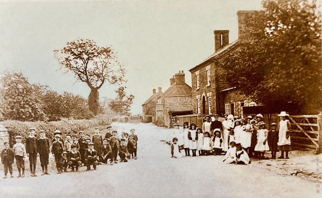
Stephen: “The minister in charge was known as the circuit preacher. He no doubt had other chapels to attend. The chapel closed in 1926-27 due to declining support. Prior to it being built, Chapel Street was known as Main Street. The Stevens also had an undertaker’s business and later used to store coffins in the chapel.”
Old School
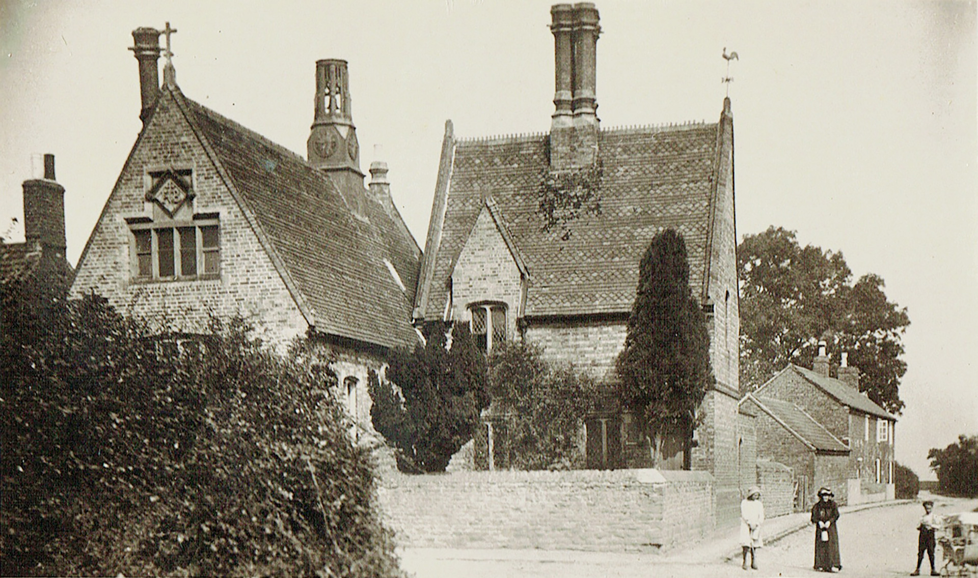
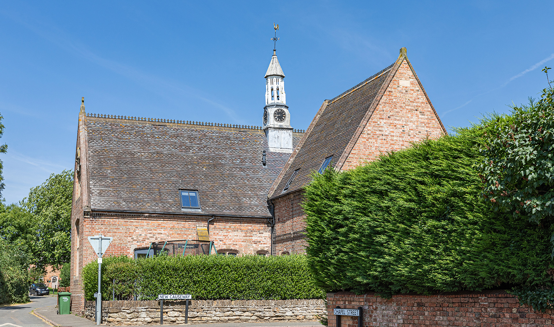
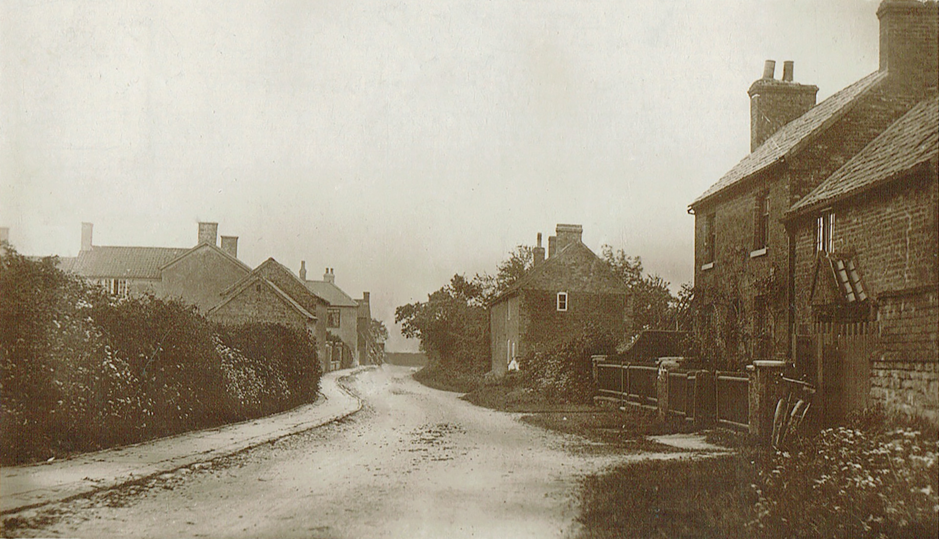
Clearly visible in the first old postcard of Chapel Street, but obscured by a large tree in the new picture, is the Old School at the back.
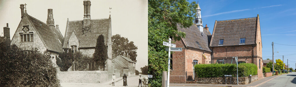
In the early 1800s rural education was almost non-existent in England. Barkestone-le-Vale was the first village in Leicestershire to provide a free school for children. Stephen: “A Public Elementry School was founded and endowed in 1814 by Daniel Smith, son of a Belvoir estate labouring farmer in nearby Plungar. Daniel Smith was born in 1766, left home, traveled, got on in the world, and eventually became a merchant landowner. Eventually, he returned home. Taking pity on the local children who had no education he founded the school built with 2 large school rooms, a house for a master and mistress, and also the endowment of a large amount of land.” In the first year 26 children, 14 from Barkestone and 12 from Plungar got educated.
Stephen: “In 1849 the local vicar Rev Frederick George Burnaby had the school (now mixed) and schoolhouse rebuilt at a cost of £1000. Over the years many alterations and additions were made.”
The School closed in 1989 because it had only a handful of pupils and conditions were not exactly up to date. The pupils would now go to Redmile instead. After a ‘battle of ownership’ the building became a thriving community centre and youth club. Unfortunately, maintenance became too expensive. It was sold by auction in 2007. Stephen: “For a few years nothing seemed to be happening to this by now derelict looking building. Then in 2011 work started on a massive scale to turn the building into a family home, a rather remarkable restoration. The clock tower was even restored to its former glory with the restored turreted cupola.”
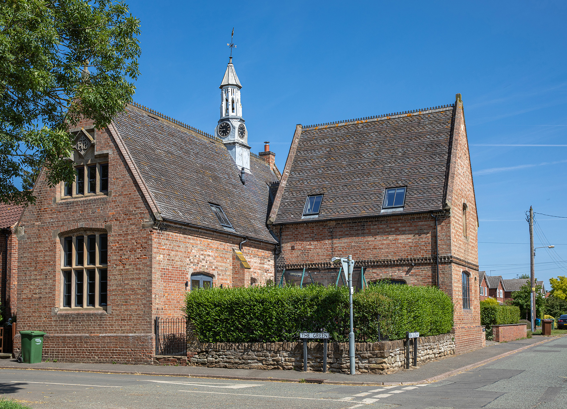

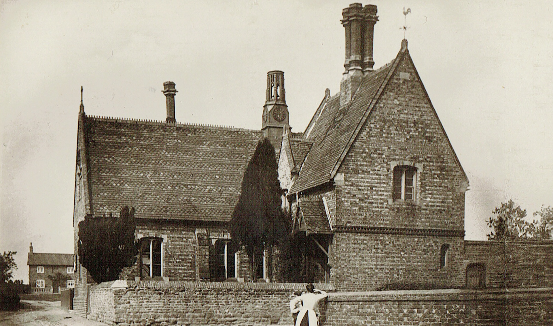
An old picture dated 1880s with the original turreted cupola.
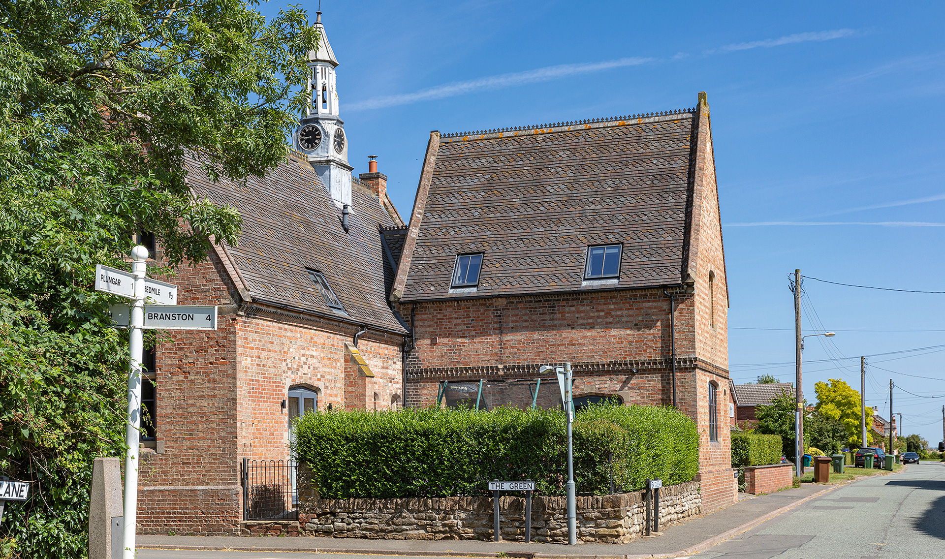
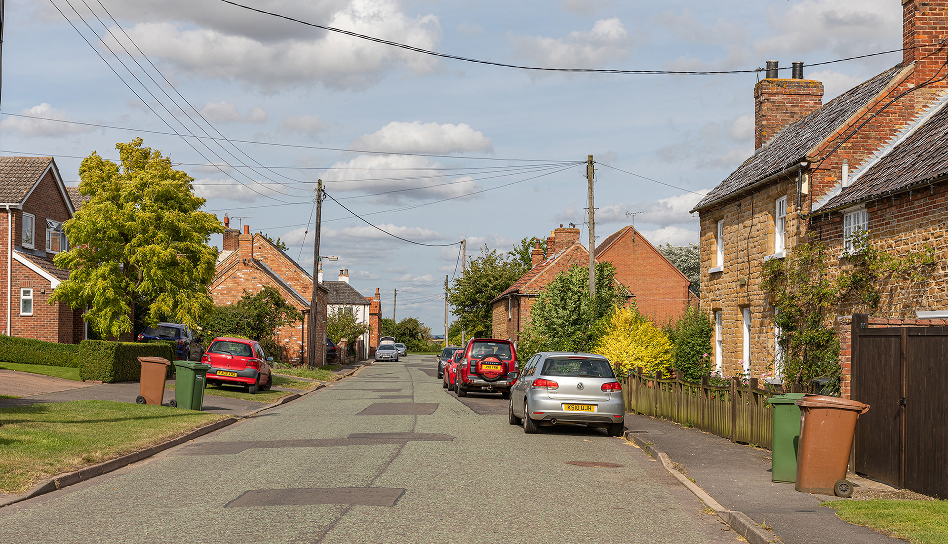
Miss Kitty Ledger lived in the cottage further on the left along New Causeway and kept a boarding house.
New Causeway
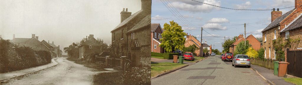
In 1850 the Reverend Burnaby not only funded the school’s restoration. He also paid for a slabbed pavement to be put in along the road past the school. “Maybe that is why the road is today called New Causeway”, explained Stephen. The white building on the far left side is the former Sun Inn. A village map of 1939 named Edward Hyman as the publican. On the righthand side in the first house lived Charles Durrance, a council worker. Next to him lived Miss Bonshor.
The Green
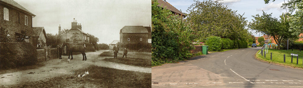
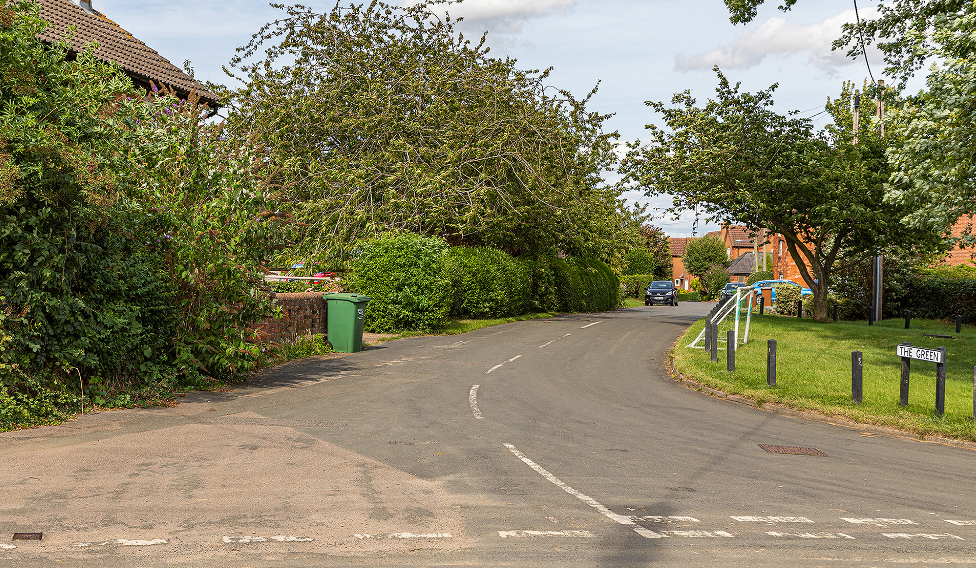
Most of the old view on The Green, seen from the Old Manor Farm is obscured by trees. On the left was in the 1930s Albert Poyser’s Green Farm. On the opposite side of the road, the remains of the Barkestone windmill are just visible in the old picture. The windmill was situated in the middle of two buildings, a granary and a dairy. All are now private houses.
Stephen: “We do not know when the windmill was built. It is not shown on the Ordnance Survey map of 1824. In 1839 it was for sale described as ‘newly erected’. It originally was a 6 storeys high brick tower mill, with patent sails and a fantail, similar to others in nearby villages. We know the windmill was still fully functioning in 1895. In 1905 sale details indicate the mill was now being powered by a 12 hp steam engine. A sail blade fell off in 1915 but, it still had two of its sails in 1927. Soon after it did lose the sails though, and also the cap on the top when the building was truncated, leaving it only around three and a half storeys high.” So the old picture of The Green must be dated after the end of the 1920s.
Chequers
Barkestone-le-Vale had five or six pubs over time. Chequers is the only remaining, although also this one closed as a regular pub. The property was turned into The Chequers Village Hub, after it was purchased in 2019 for the village, and re-opened in September 2019. Stephen: “The pub had been trading unsuccessfully in recent years under various guises including a fish and chip restaurant and a motorcycle-themed bar when the owner reluctantly decided to sell it for housing development. There was a fund available in the village for a village hall and after a very controversial vote it was decided to use the fund to buy the property and turn it into a village hub run by the fund charity.” All came to a standstill again with the lockdown in March 2020 of last year. Since July 31st 2021 the BarkstoneHub is open again.
Stephen Giles: “It is uncertain how old this building is, but in 1846 John Watson was the victualler there according to the White Directory of that year. The first image of the pub is from around 1902 and is the earliest known image of Chequers Inn.”
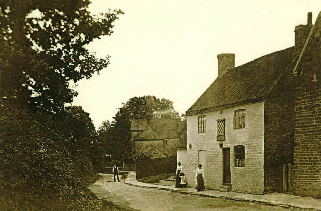
The old picture came from the Sheila Marriott collection and she told Stephen it was from a postcard loaned by the Langridge family who was related to the Hall family who kept this pub for very many years. It is probably Leonard Hall in the photo, standing in the middle of the street, with members of his family.
More pictures
Note on some of the pictures
Sheila Marriott has collected many hundreds, possibly even thousands of local images. She used to regularly have a yearly exhibition in our church but the last was around seven years ago.
Domesday Book
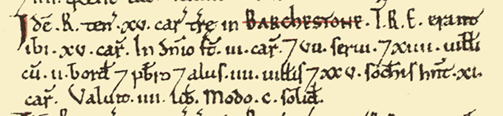
Barkestone[-le-Vale] was a settlement in Domesday Book, in the hundred of Framland and the county of Leicestershire.
It had a recorded population of 53 households in 1086, putting it in the largest 20% of settlements recorded in Domesday.
Land of Robert of Tosny
- Households: 18 villagers. 25 freemen. 2 smallholders. 7 slaves. 1 priest.
- Ploughland: 15 ploughlands. 3 lord’s plough teams. 11 men’s plough teams.
Valuation
- Annual value to lord: 5 pounds in 1086; 4 pounds when acquired by the 1086 owner.
Owners
- Tenant-in-chief in 1086: Robert of Tosny.
- Lord in 1086: Robert of Tosny.
- Lords in 1066: Leofric <of Bottesford>; Osmund (Benz); Oswulf (son of Frani); Rolf.
3 responses to “Barkestone-le-Vale”
Great information! Does anyone have any history on 6 Fishpond Lane? Cheers
Hi Aimee,
Hope you are well. I see you have been asking about the history of your house 6 Fishpond Lane.I only spotted this recently but couldn’t answer you on the browser i was using for some reason.
I have access to the history of all the houses in the village. These go up to around 2003 and were prepared by the late Sheila Marriott who you may know of.
The sheet for your house goes back to 1841 and ends in 2001. There are also several photos of those associated with the house. Let me know if you are still interested and I will print out an A3 sheet for you.
Kind regards,
Stephen
Does anyone have old photos of Hilltop Farm the home of my Great Aunts, Annie and Ada Hornbuckle retired school teachers, did they ever teach in the local school. They lived into their 90’s and died in the 1970’s. Any info on them would be wonderful.
Also my Grandfather the Rev R T Seivewright was the vicar of the Parish in the 1920’s