Tantallon Castle
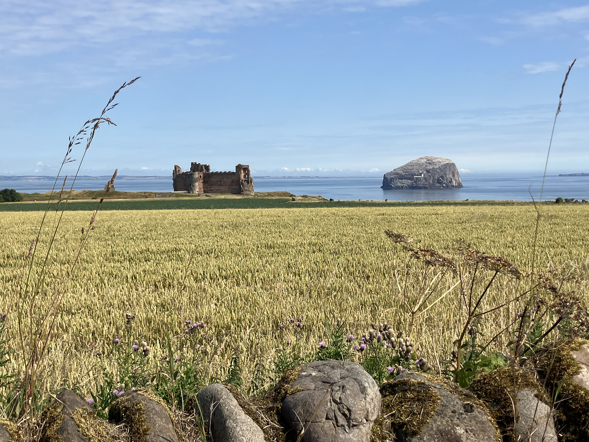
At the end of July 2024, I drive to the car park of Tantallon Castle just after 10 a.m. I scouted the area the day before and studied the OS Map. I am pretty sure where W. S. Thomson stood when he took his Tantallon Castle photographs, but I am still worried about how to access the view of the ruined castle. I enter the site’s ticket office and souvenir shop, where I introduce myself. My favourite conversation starter is: “I am on a mission, and I hope you can help…” People are intrigued by the word mission.
The friendly staff explains where Thomson had taken the three Tantallon Castle photographs, confirming my thoughts about where the photographer stood 75 years ago. I have to take the private road and pay for a ticket to park the car near the beach.
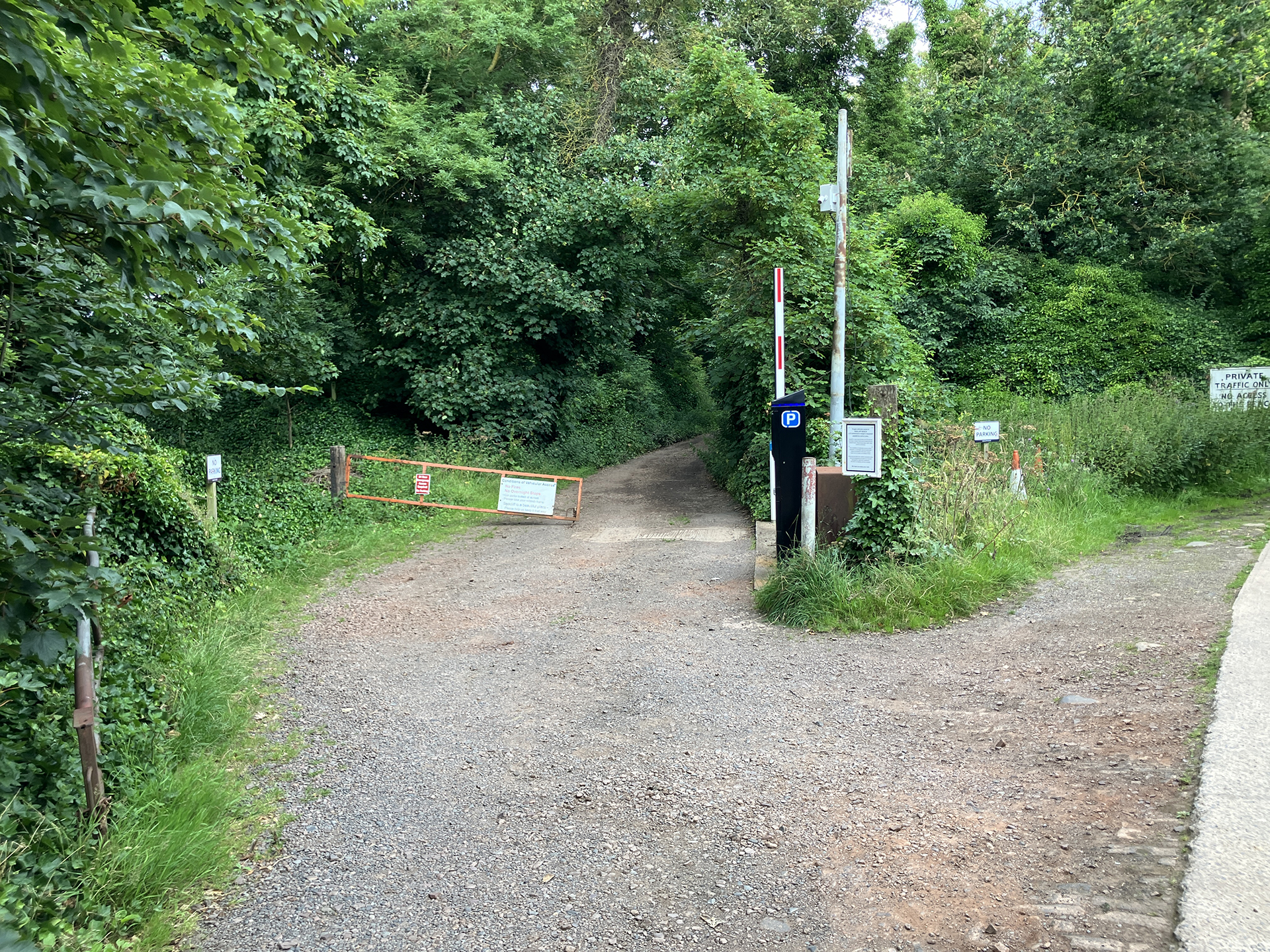
I park my car in a shady spot and walk back on the private road halfway to the main road. A broad but overgrown track guides me to the cliffs and the hidden path towards a rocky beach, a place the general public rarely visits.
Taking a steep dirt road, I reach the rocky shore before noon.
With Thomson’s photo on display on my laptop, I try to find the rocks still visible in his photograph. Comparing the old photo with today’s view is somewhat problematic. Could the rocks have been eroded that much in three-quarters of a century? The tide is much lower, and I can only guess what the scene will look like at high tide. Taking other features into perspective, I have a guess about Thomson’s location.
I take a few remakes, but I prefer to have another go in about three hours when the sea water level is much higher.
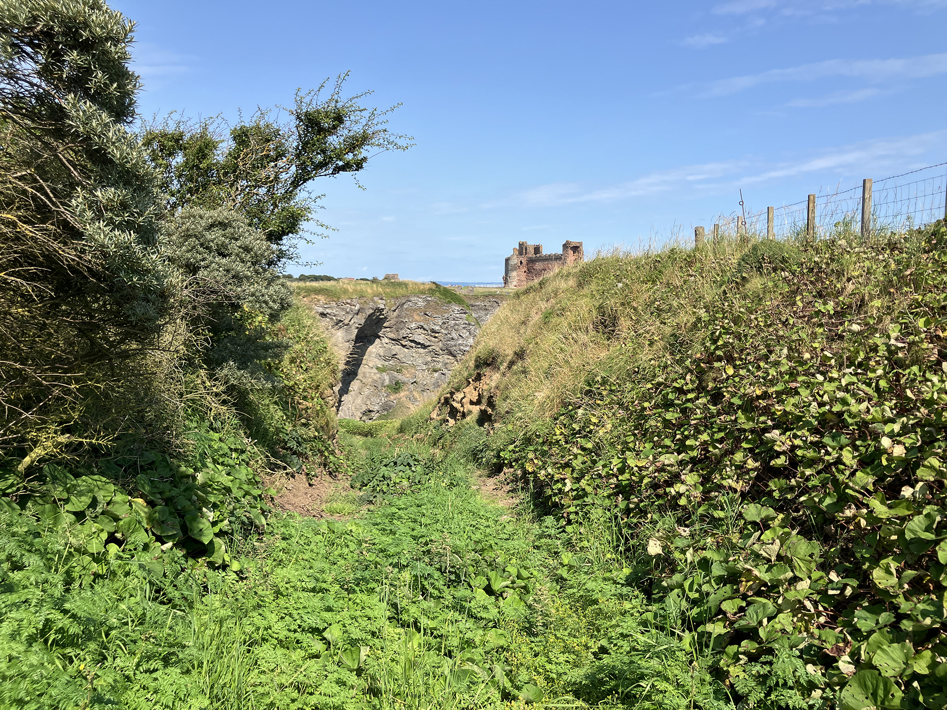
I decide to return to the top of the cliffs to search for Thomson’s second photograph. The weather is changing. When I find the location, clouds cover the sun, and the beautiful light is gone.
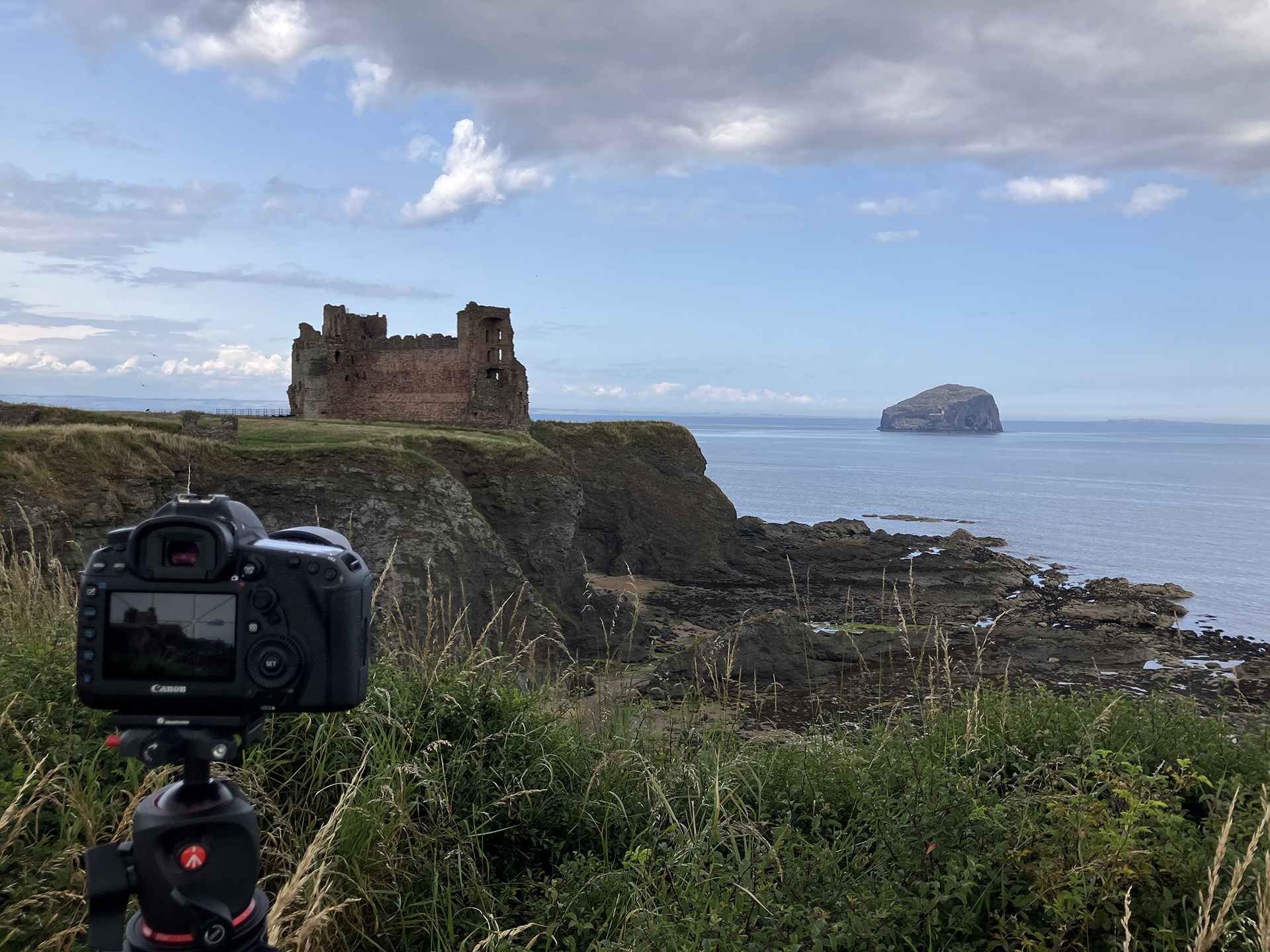
I check my weather app and learn that the cloud cover will stay for the rest of the day, but there is a slight chance for a brief bright spell. I have to wait… a few hours, enjoying the view.
Looking from the top of the cliffs, I notice a fisherman walking on the rocky shore, carrying a basket filled with mussels on his shoulders. He pauses for over half an hour to eat and continues walking to the south, disappearing behind the next high cliff. The sea will likely submerge most, if not all, of the rocks at high tide. While waiting on the cliffs for the sun, I read about tides in the book Sea Fever by Meg and Chris Clothier: “You know it’s high tide. You know low tide will follow about six hours later. But what if you want to know how high the water will be in between? What if you want to know how fast the water will be flowing? That’s where the rule of twelfth comes in. If you plot the rise and fall of a tide on a graph, it will (mostly) resemble a sine curve, with the rate of change from high water starting of slow, increasing until half-tide(the midpoint between high and low water) when the rate is at its fastest, before decreasing to its slowest rate just before low water.” I roughly calculate that I have to get down again at the rocky shore about 3 p.m. to see the water rising the fastest and the rise will slow down after 5 p.m. In the past, I have been reading a book on all kinds of aspects of the tide: Tide. The Science and Lore of the Greatest Force on Earth, written by Hugh Aldersey-Williams. I keep a copy in my small library at home.
As magic sometimes happens, there is a brief sunny spell, just long enough to take a few good remakes from the top of the cliff. Hooray. The result looks good.
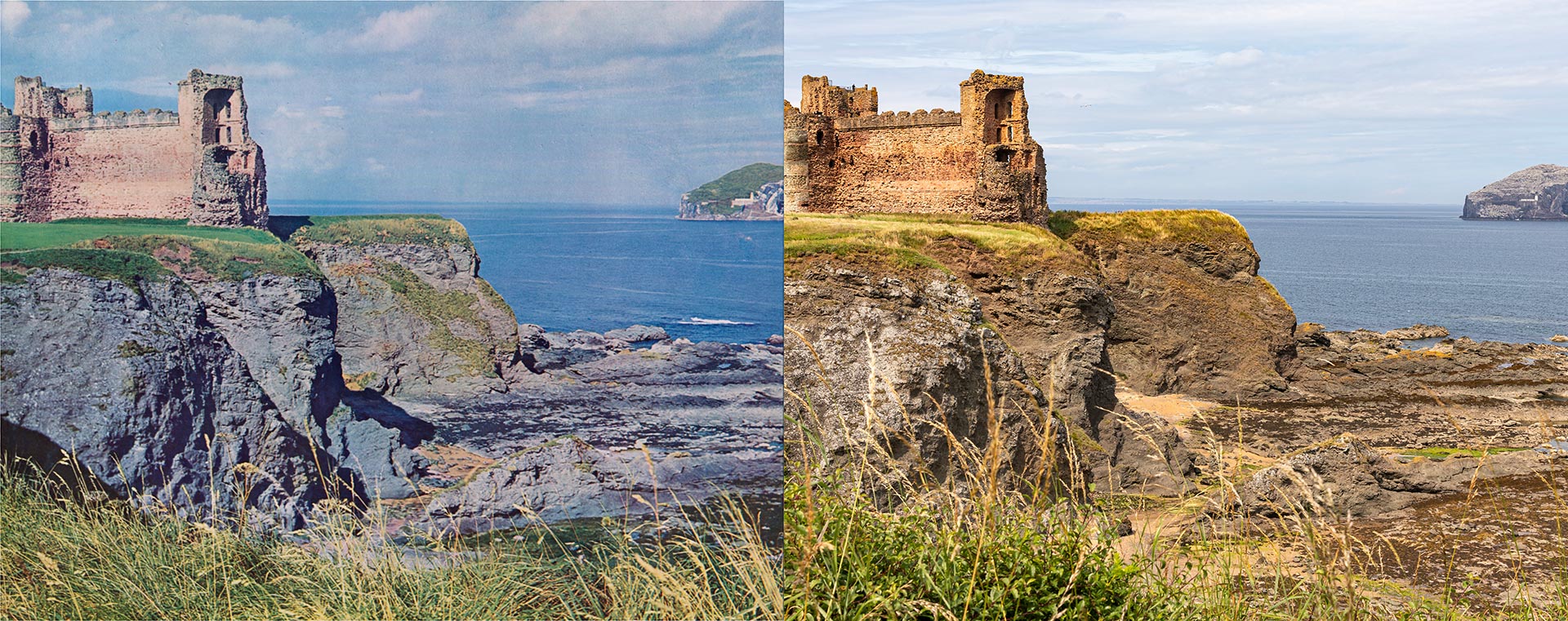
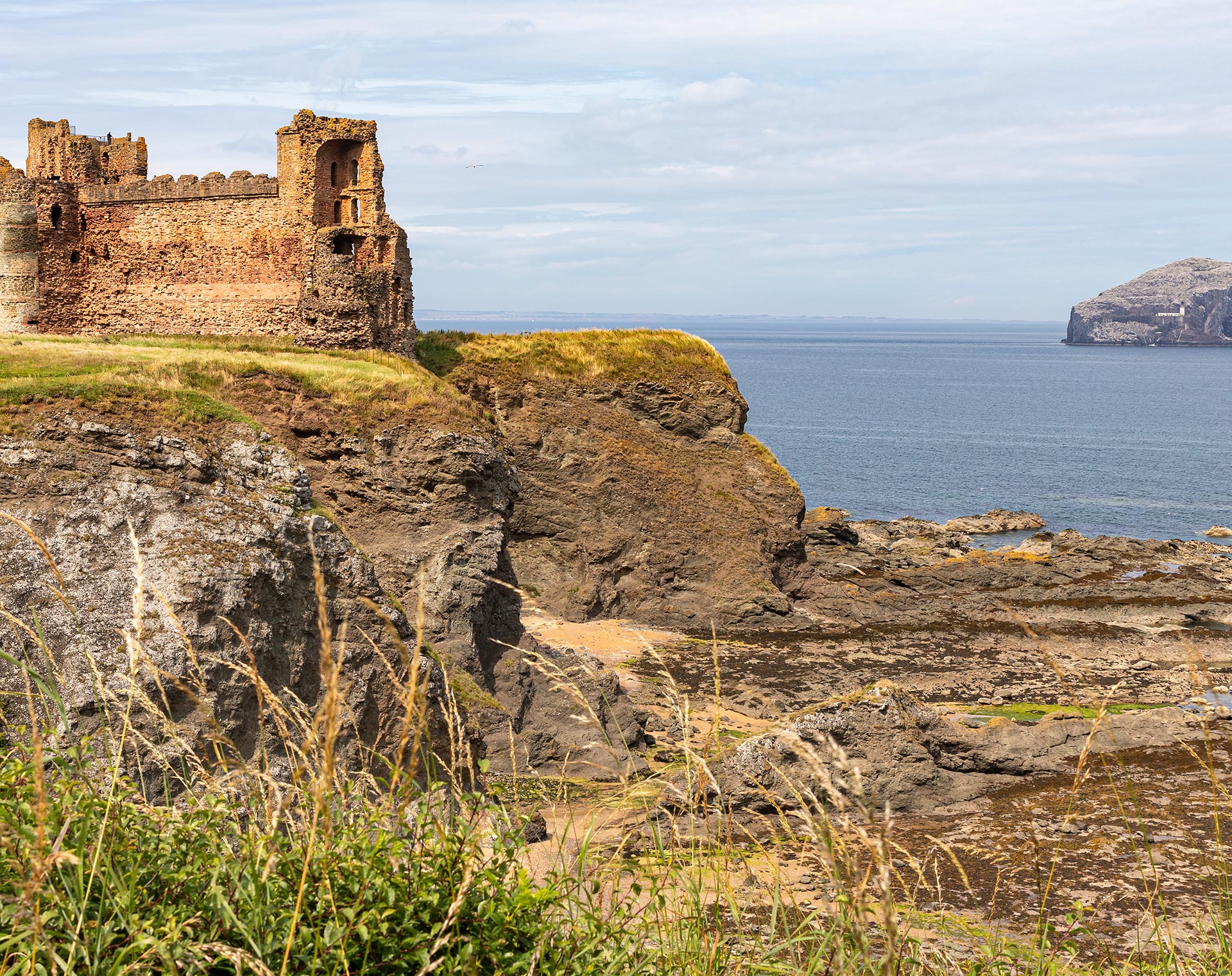
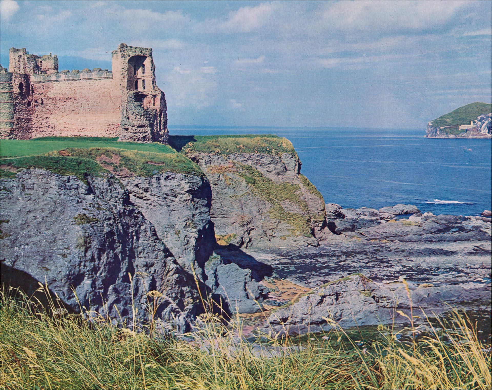
Move the slider to discover what changed.
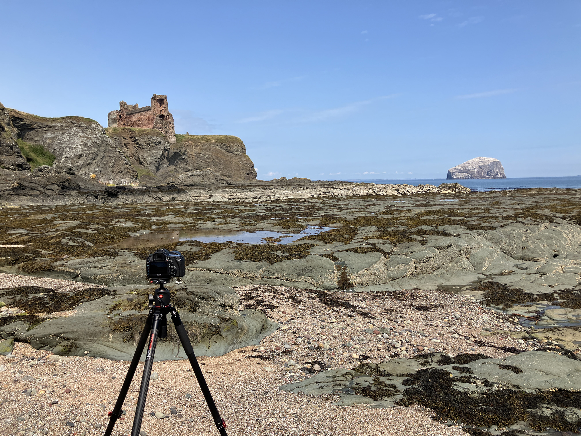
I have enough time to return to the rocky bay to set up my camera and watch the rising tide. There is no danger of getting trapped because there is an area that doesn’t get flooded by high tide. Otherwise, I would have stayed on top of the cliff. I also point another camera towards the castle and Bass Rock to make a timelapse of the rising tide.
When I wait for the incoming tide and the sun to appear I try to find out more about the bay. It is called Oxroad Bay and is described in the Ordnance Survey Name Books as “a small rocky bay a little East of Tantallon Castle, from which Oxen carry Sea weed to the neighbouring farms for Manure.”
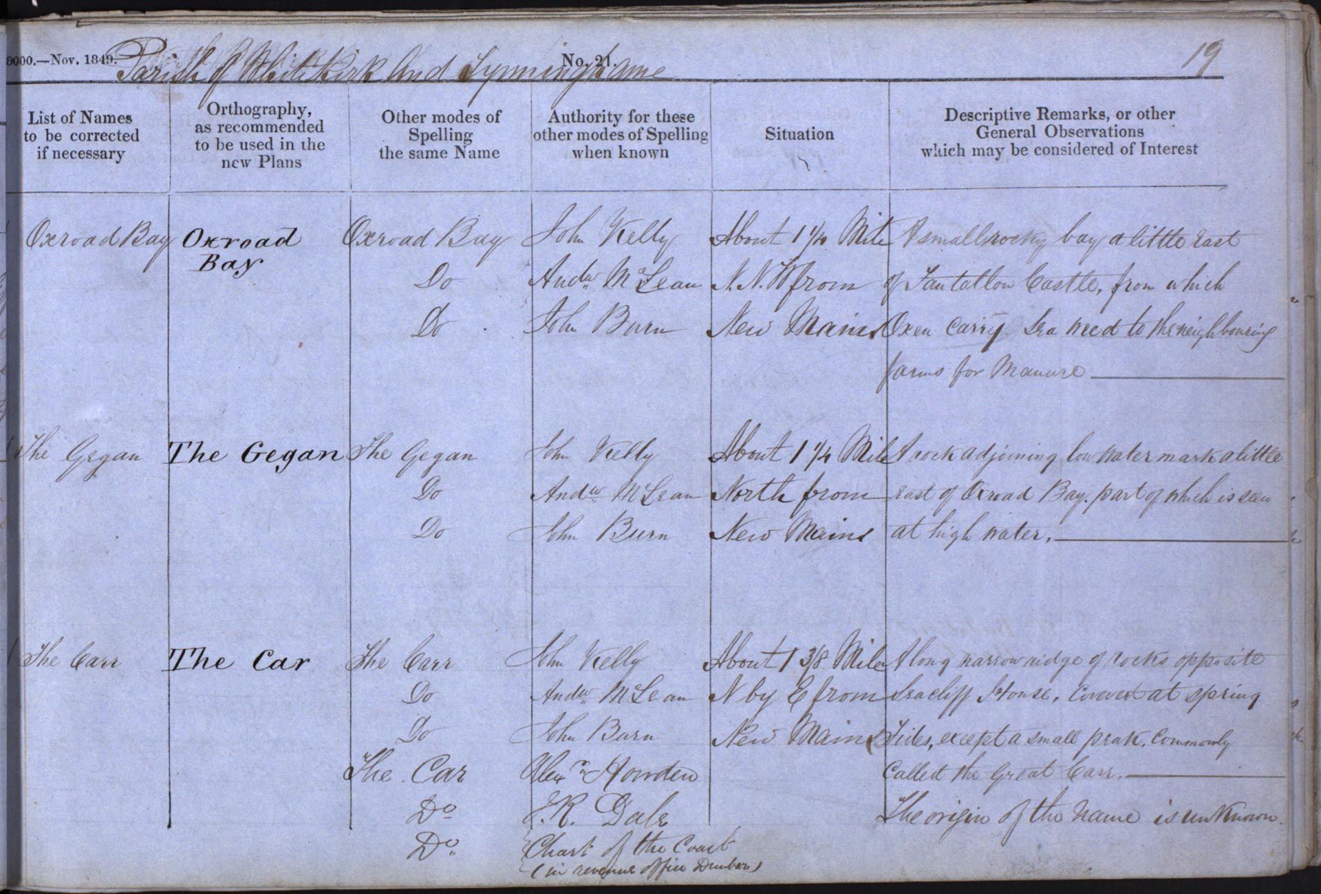
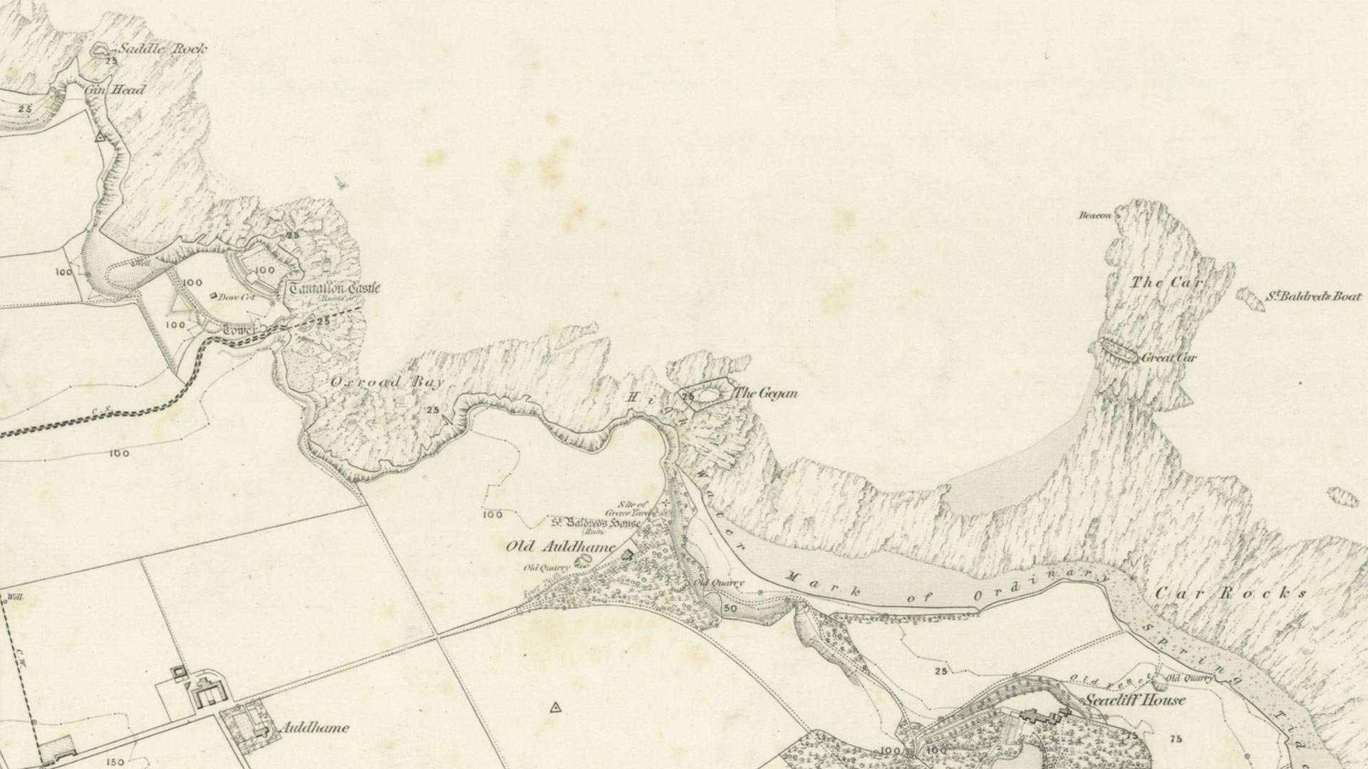
I wait and keep a close eye on the upcoming tide. When the water is at the level in Thomson’s photograph, I still don’t see a match with the structure of the beach rocks then and now. Have the rocks been that eroded in 70 years? I am standing on the edge of the rocks and the small sandy beach sand. Once the three legs of my tripod are slightly submerged in the seawater, I move my camera to a few other places, but it stays a mystery where Thomson stood in the past.
The light was better when I took the remake around noon.
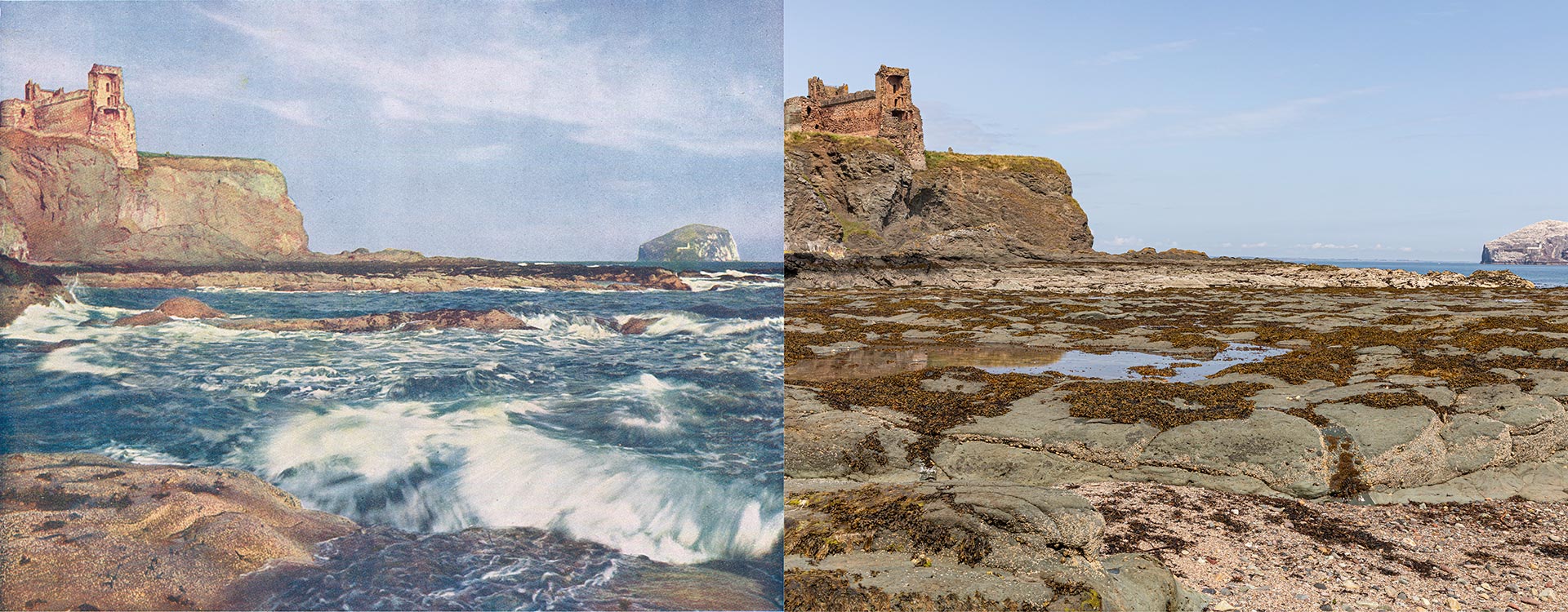
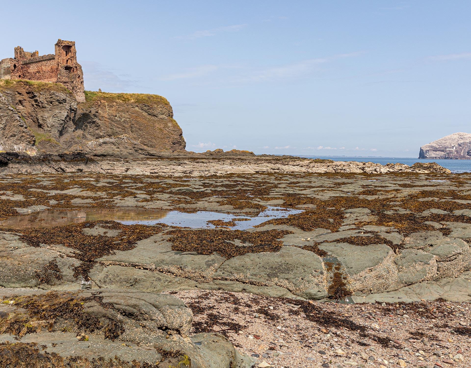
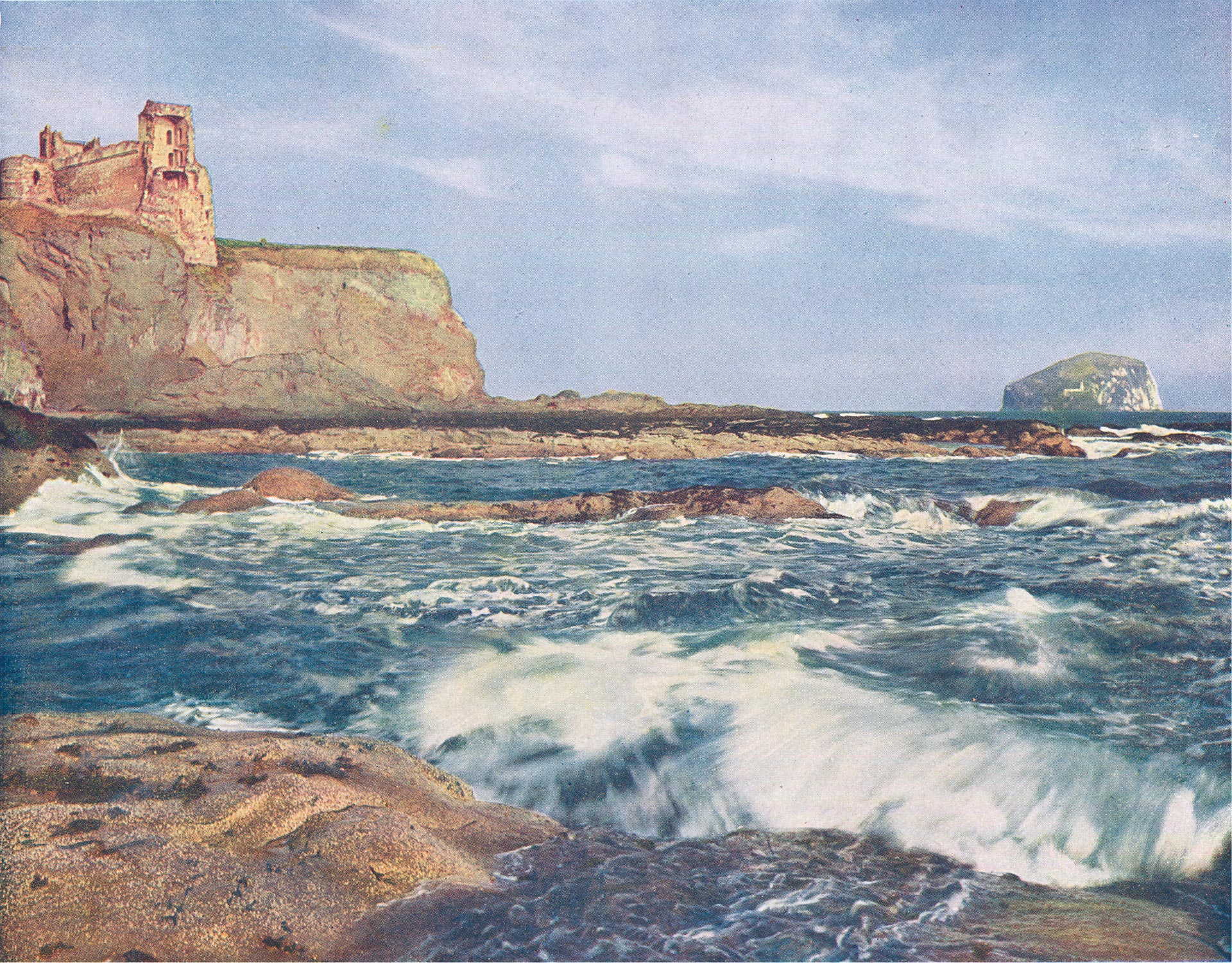
Move the slider to discover what changed.
My conclusion is I have to revisit Oxroad Bay when returning to East Lothian.