Up North
Today was the warmest day ever when driving to Scotland from my home village in Leicestershire. As the crow flies 384 miles. 422 miles (about 660 km) on the road. The morning started with some thick mist on the Leicestershire Wolds and the Nottinghamshire Wolds, the first 45 minutes of the trip. But after that, it was a cloudless sky all the way. Rather heavy traffic and a detour because a part of the M1 motorway was closed between Sheffield and Leeds, it took more than 3 hours to reach Scotch Corner, the junction of the A66 at the A1(M). When traffic is smoother, Scotch Corner is reached in about two hours. On the A66, the fun driving starts with – weather permitting some lovely views of the Yorkshire Dales to the south and the North Pennines to the North. The A66 is the Cross-Pennine link between the A1 highway in the east and the M6 motorway to Carlisle in the west. Halfway, you cross the Northumberland Cumbria border.
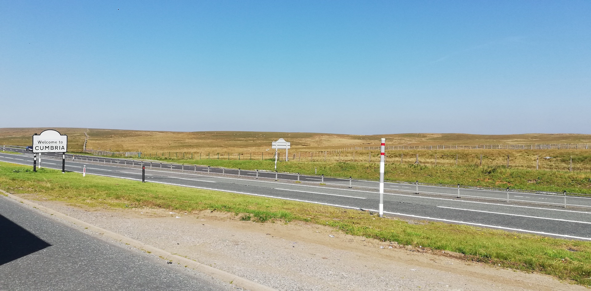
The view could have been more spectacular. There are no clouds, but it is very hazy. The milky atmosphere spoiled the view a bit, but never mind.
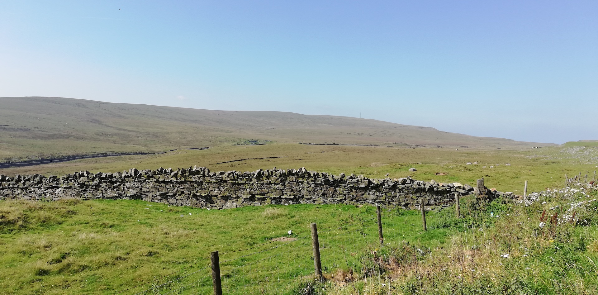
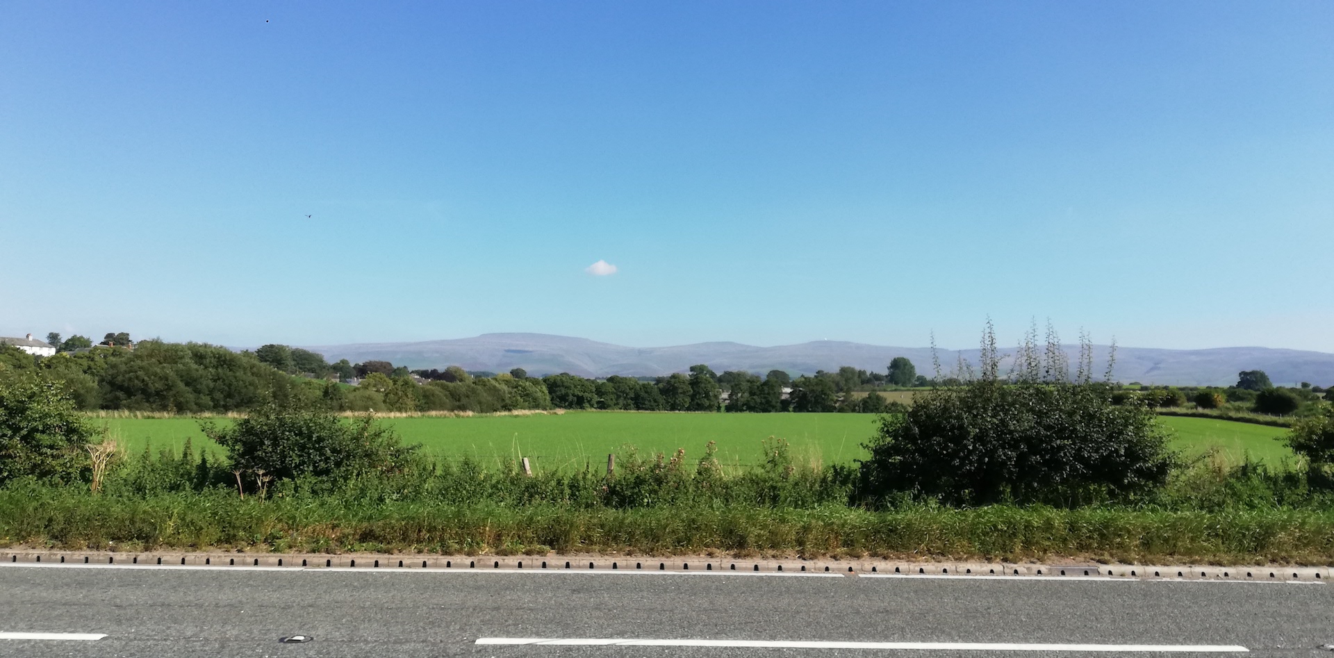
From Carlisle, the motorway continues north, and when crossing the English-Scottish border, it becomes the A74(M) and then the M74 to reach Glasgow. This motorway nicely curves through the landscape of the Southern Uplands. The haze was gone, and the colours of the hills were spectacular. It is very noticeable the season is changing from summer to autumn. Some parts are still bright purple because of the heather. The bracken, a larger fern species, is partly green but already becoming brown. Red and mostly orange tones slowly overtake the green and yellow colours. The hills are mainly baldish. Here and there, a deciduous tree in the landscape and many pine plantations in various shapes glued against the hills. There is a smaller plantation like the two balls and the penis, in down worth direction of a man, or the top of a hill covered with conifer trees as the haircut of a Medieval monk. On my way North, I often stop in Moffat, a town near the motorway, but this time, I took a break at Annandale Water Services.
Driving around the south and west side of Glasgow is simple. A more mountainous Scottish landscape arises when crossing the River Clyde, taking the Erskine Bridge. First, Dumbarton – the home town of the former Formula One driver Jackie Stewart, nicknamed The Flying Scot (born in nearby Milton) and then the A82 along Loch Lomond. Tarbet is the next preprogrammed stop with a view of Loch Lomond, the anchored tourist boats in the loch and the view of Ben Lomond in the northeast.
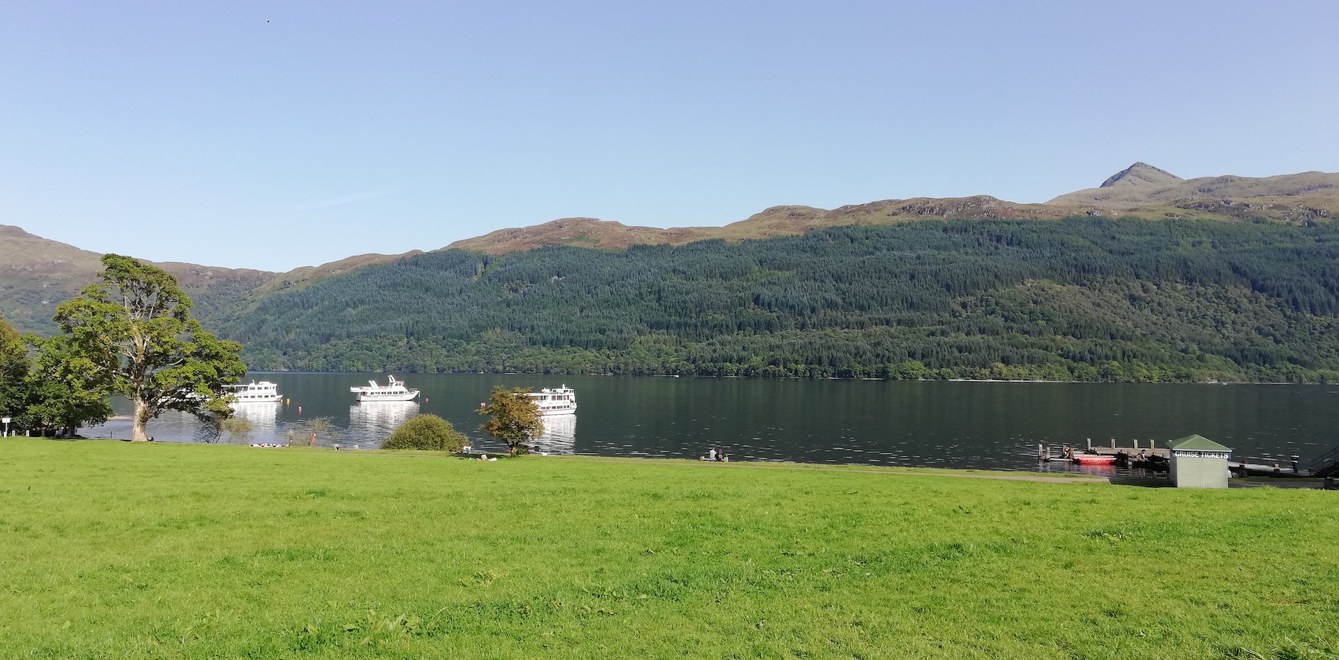
From Tarbet to Ardlui, at the upper part of Loch Lomond is a very winding, sometimes pretty narrow, double track next to the western lochside. Traffic was minimal, surprisingly. When passing Crianlarich, a single-track railway road runs on the other side of the glen (valley) – running along Loch Trieg around the east and north side of Glen Coe – and before you know the road starts climbing up to Ranch Moor and Glen Coe. Even when driving in a car, I feel tiny in the overwhelming landscape of far sights and steep mountains. It can be very windy here, and this road can be a horror when it rains (I have never done it when it snows).
In Glen Coe, I drive past the usual suspects: Buachaille Etive Mor, Aonach Dubh, Beinn Fhada and Gearr Aonach (together known as the Three Sisters of Glencoe, also known as Bidean Nam Bian) and opposite the A82, the Aonach Eagach Ridge to the north. I have a last brief stop at Loch Achtriochtan, a small shallow freshwater loch located east of Glencoe village.
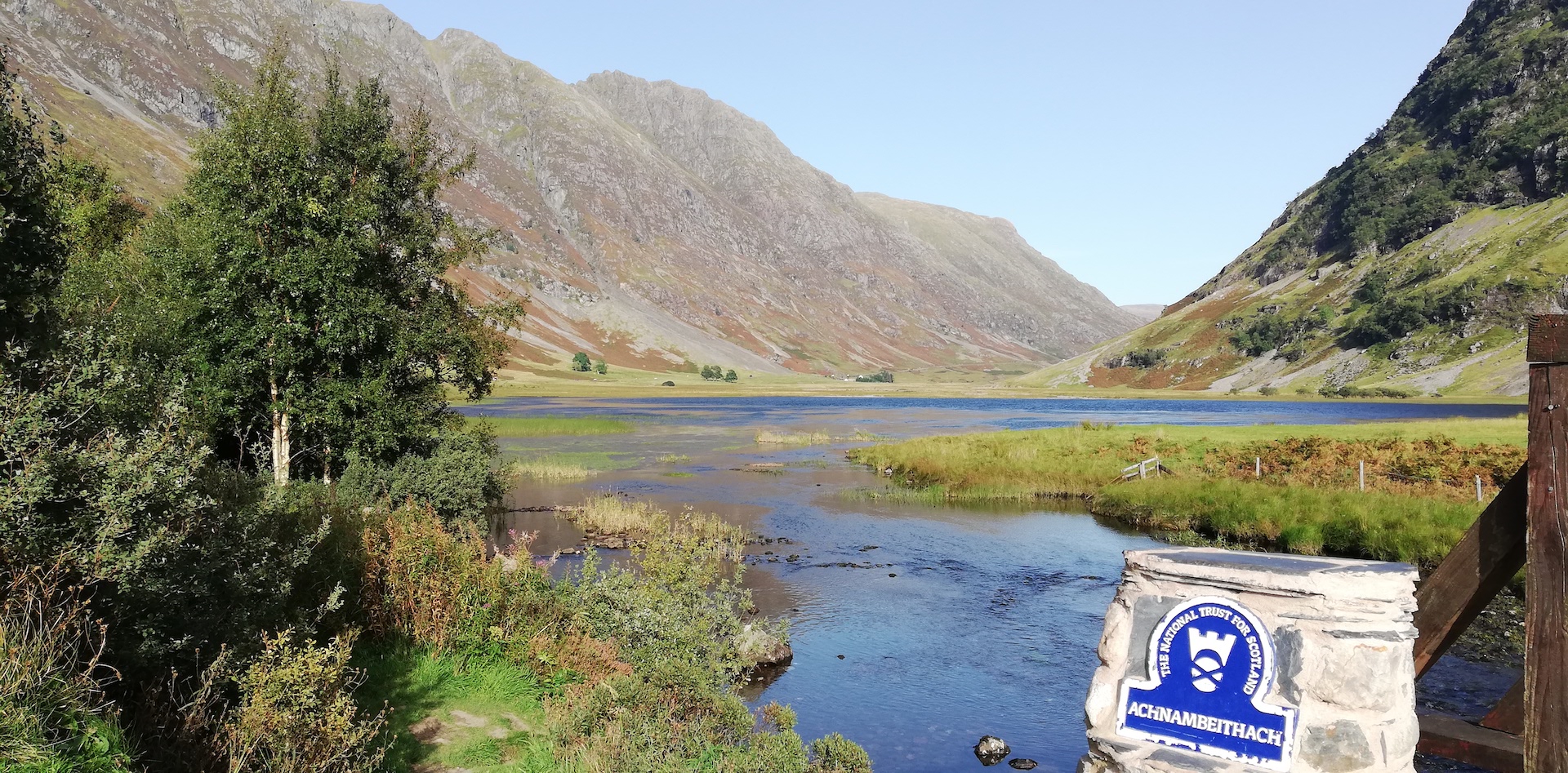
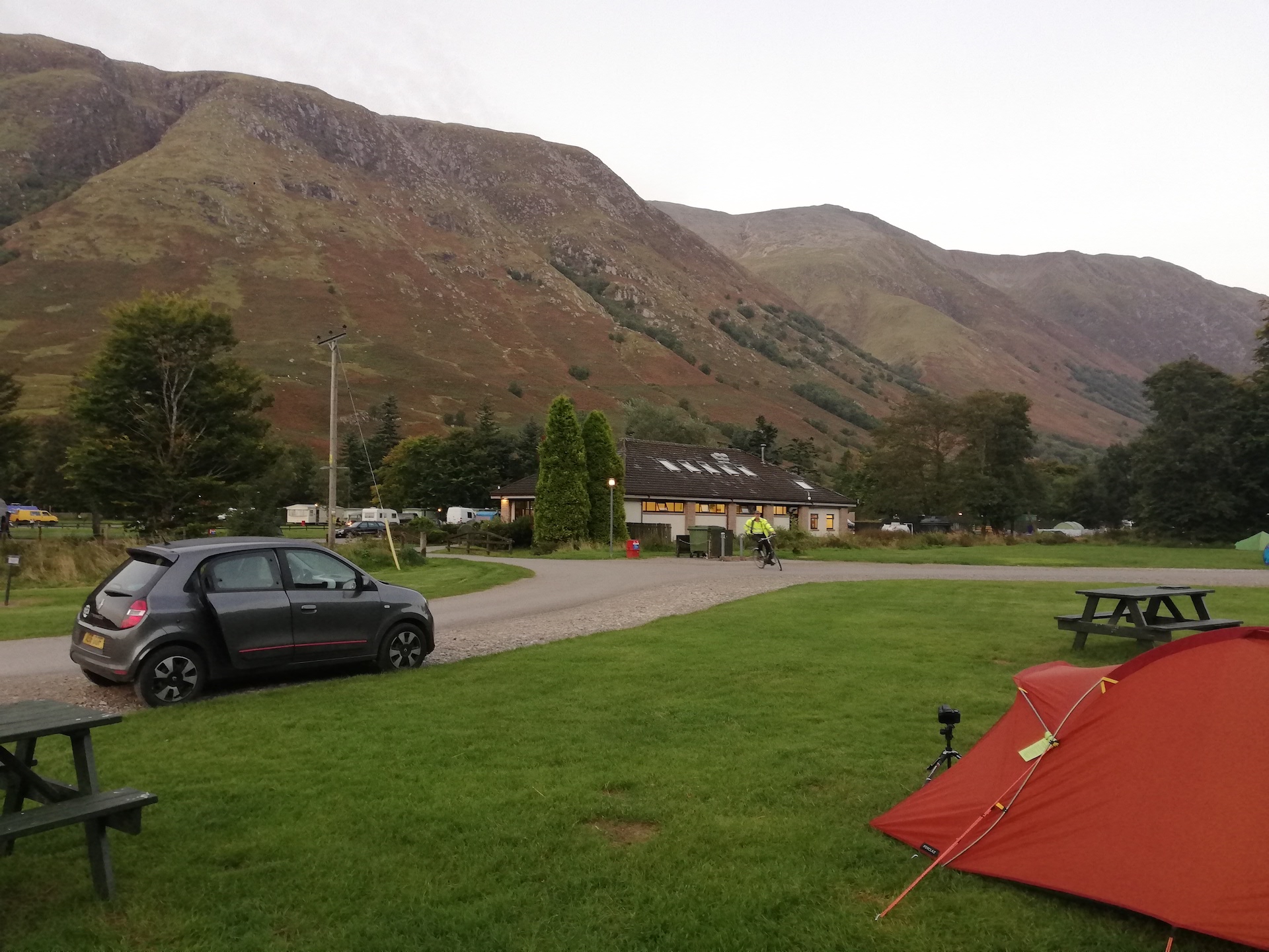
The final stretch is the usual drive over Ballachulish Bridge, crossing Loch Linnhe/Loch Leven, passing Corran Ferry (still no proper car ferry connection – what a drag), and then along the east shore of Loch Linnhe reaching Fort William and a few miles further Glen Nevis Campsite with a beautiful view on the Ben Nevis. I am so glad to be back…