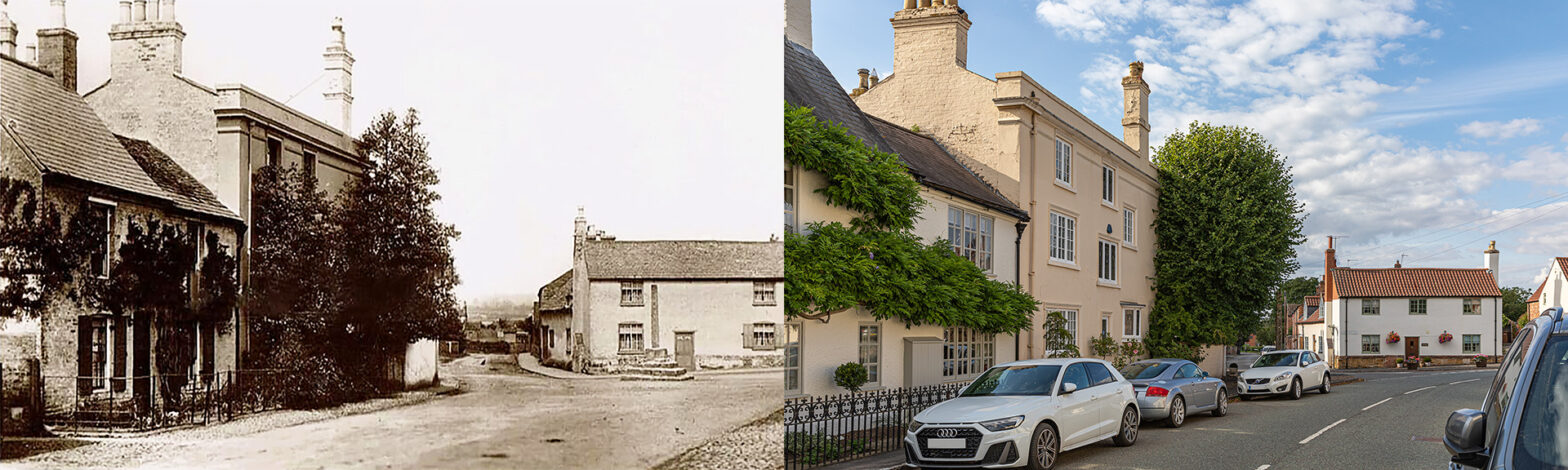
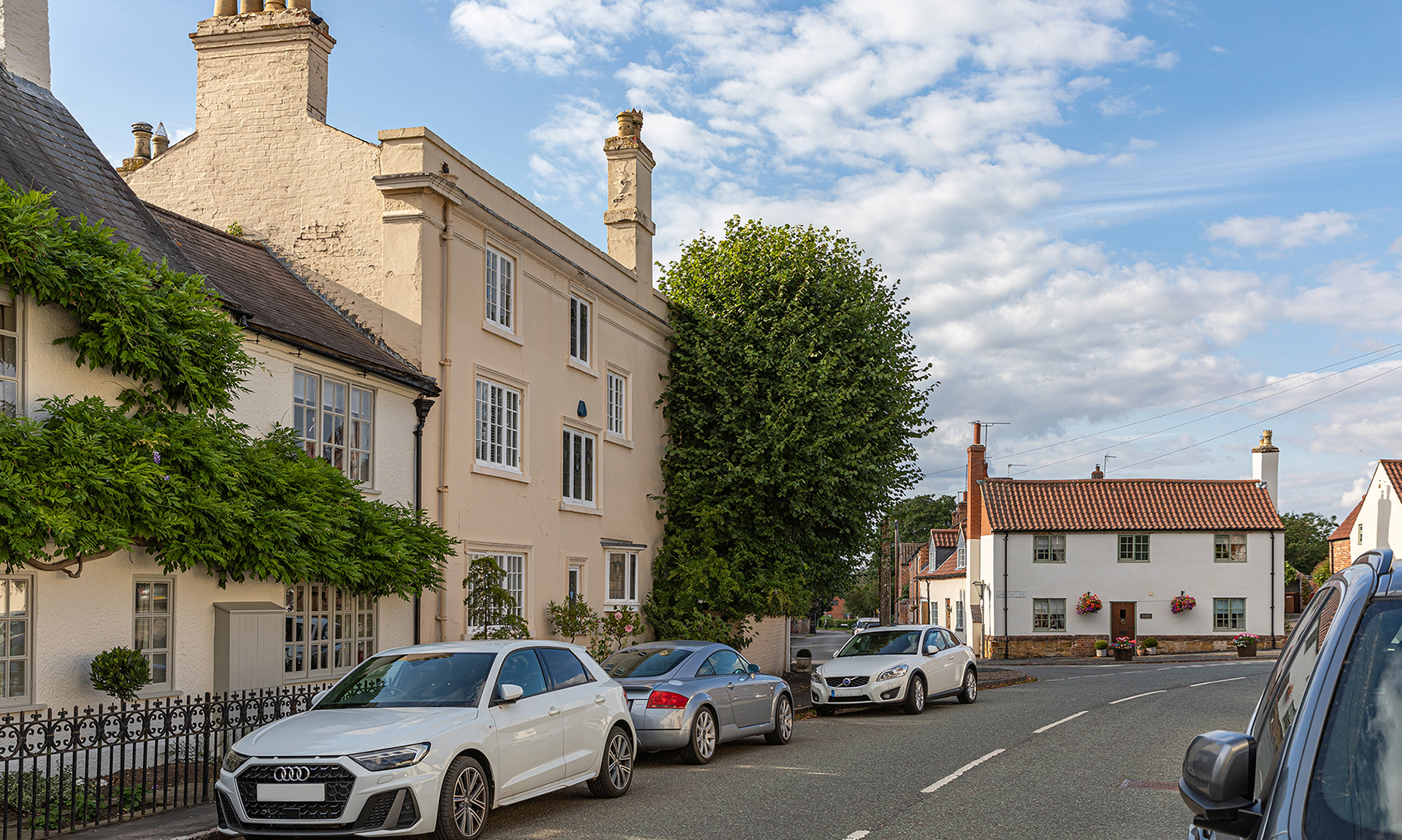
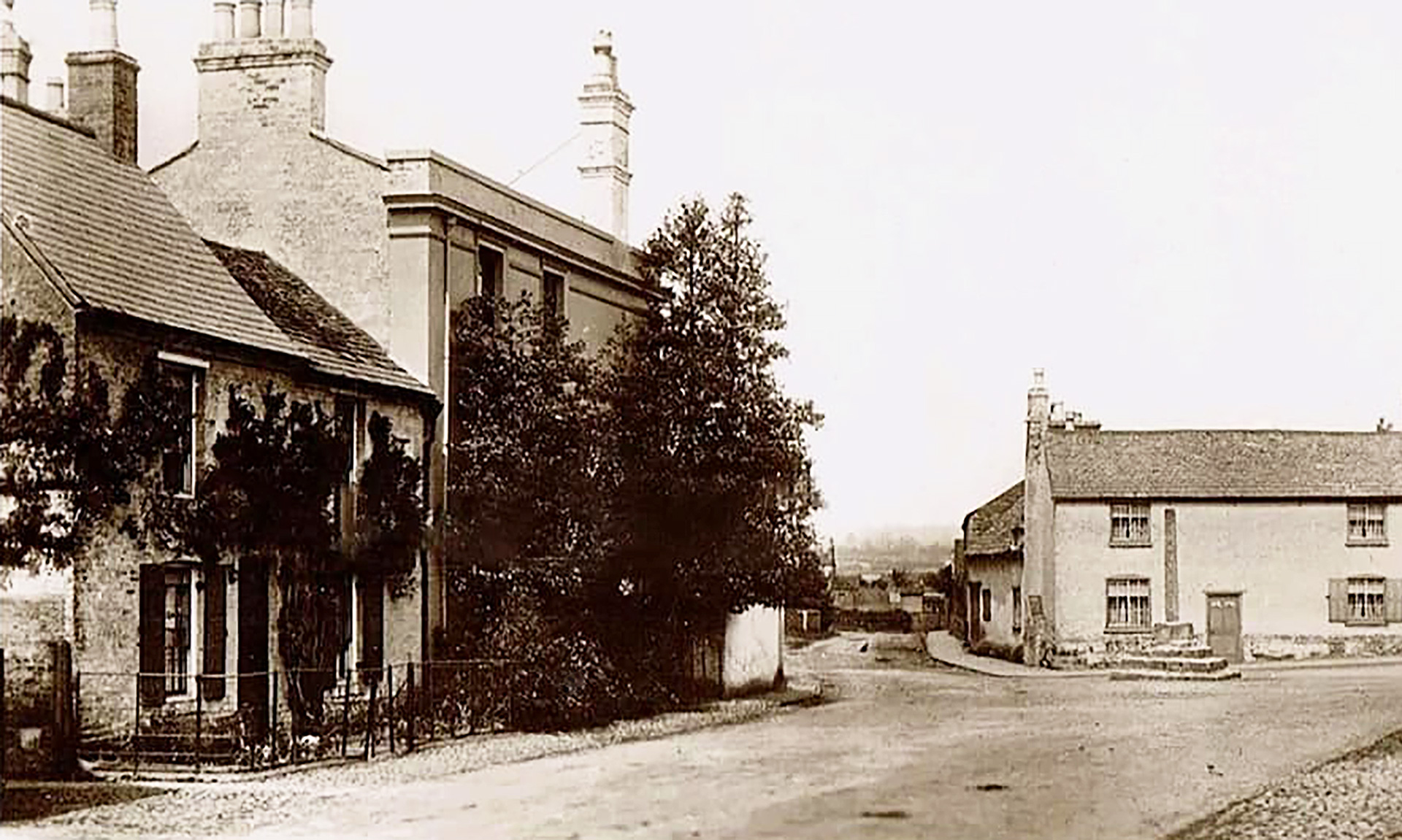
Rotherby Lane – 1915s
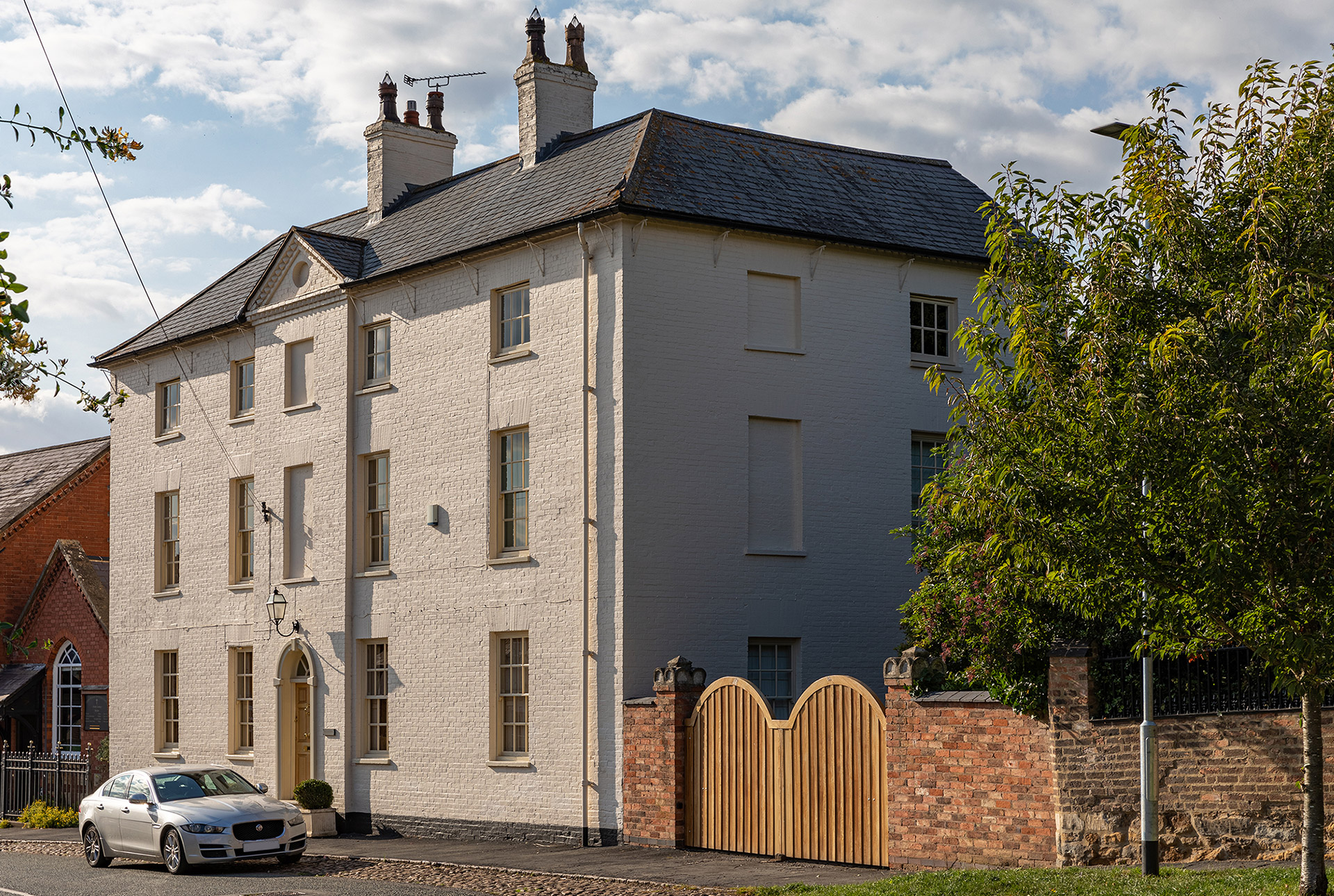
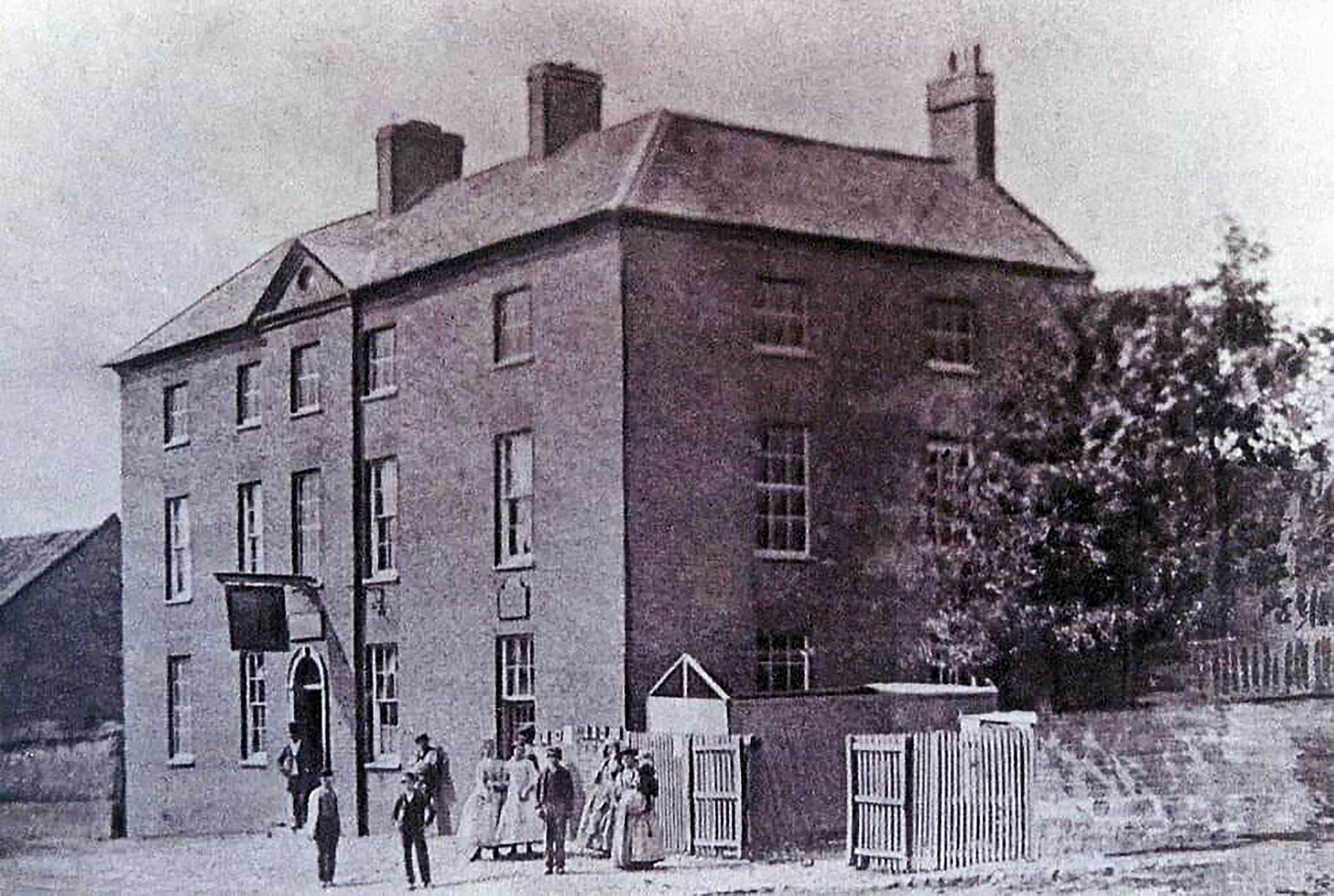
Carefully I zigzagged between the row of parked cars on the right hand side of Rotherby Lane to find the photographer’s spot in the old postcard for the remake. You can’t be lucky all the time, the old and the new picture don’t match that well although the overall picture hasn’t changed that much in more than 100 years. “We live in the house with the wisteria growing on it”, said Mike Ayres. “Fascinating to notice some of the changes to our house, we hadn’t seen in other old photographs. It appears to have shutters and the style of the railings has changed.”
The Limes, the three-storey house with its majestic chimneys, was earlier named Lime Villa. It was built in the early 19th century and refronted around 1834. The bushes covering the facade have been replaced by tinier ones. Behind the sturdy boundary wall, still strong, are four lime trees. Puzzled where the Cross is located now, about a metre from the wall behind the third parked car on the left, Angela Duxbury who has lived in The Limes, since the end of 1980, explained: “To avoid damage by traffic the village cross was removed that summer from its position at the middle of the nearby crossroads of Rotherby Lane, Water Lane and Main Street.” The cross was originally a preaching cross, used by the Cistercians or Black Friars from Launde Abbey. The 14th century village cross indicated where the local market was held, which explains why the area was known as Cheap End up to the 1950s, as found on old Ordnance Survey maps. The original site where the cross stood is marked in the road.
Stephen East added: “We live in the white cottage on the right. It is called Old Star Cottage and it was the Old Star Inn many years ago.” Until the opening of the turnpike road in 1810, now the A607, Frisby-on-the-Wreake was on the main highway from Leicester to Melton Mowbray.
As to the position of the camera, Angela Duxbury concluded: “If you are not happy with the new photograph, do come and retake it, we will all move our cars for you!”
Public Houses
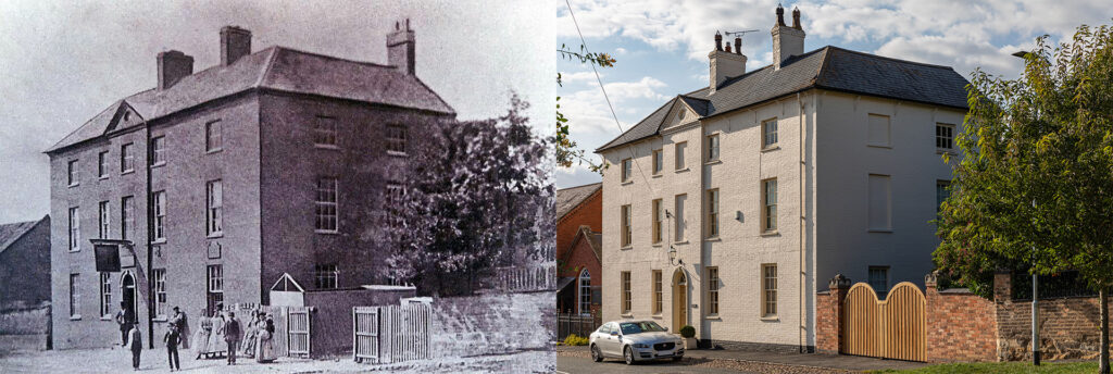
There were three inns. Firstly, the Old Star Inn which had also been a butcher’s and slaughterhouse. Secondly, The Black Horse Coaching Inn at the east end of Main Street. Malcolm Britton recalled: “The landlord in 1900 was Austin Rodwell. His son Cecil became an army officer in the First World War. After the war, he farmed at several locations in the county before settling in Rotherby. He has descendants still living locally. The Black Horse closed as a public house in 1974.” It is fondly remembered as a cosy ‘spit and sawdust’ type hostelry. The house still has examples of false bricked-up windows which was done to avoid the window tax of 1777. And finally, The Bell, which opened in 1759 and is now the only public house in the village, lying diagonally opposite the Old Star Cottage on Main Street.
Main Street
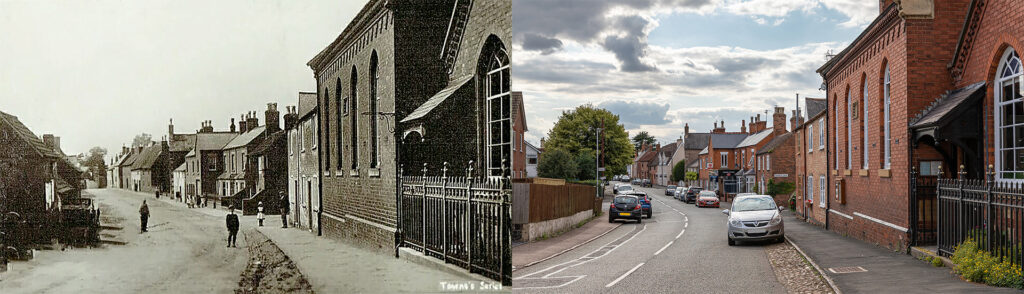
In the past, like most other villages, Frisby-on-the-Wreake was self-supporting, having numerous shops and traders including blacksmiths, butchers, a miller, a baker, carpenters, shoemakers and tailors. Although most shops are gone and traders stopped their local business, Main Street remains virtually unchanged since it was the main highway between Leicester and Melton Mowbray.
“The building on the left was the old blacksmith forge”, recalled Andy Howe. “It was demolished in the early seventies and other houses were built.”
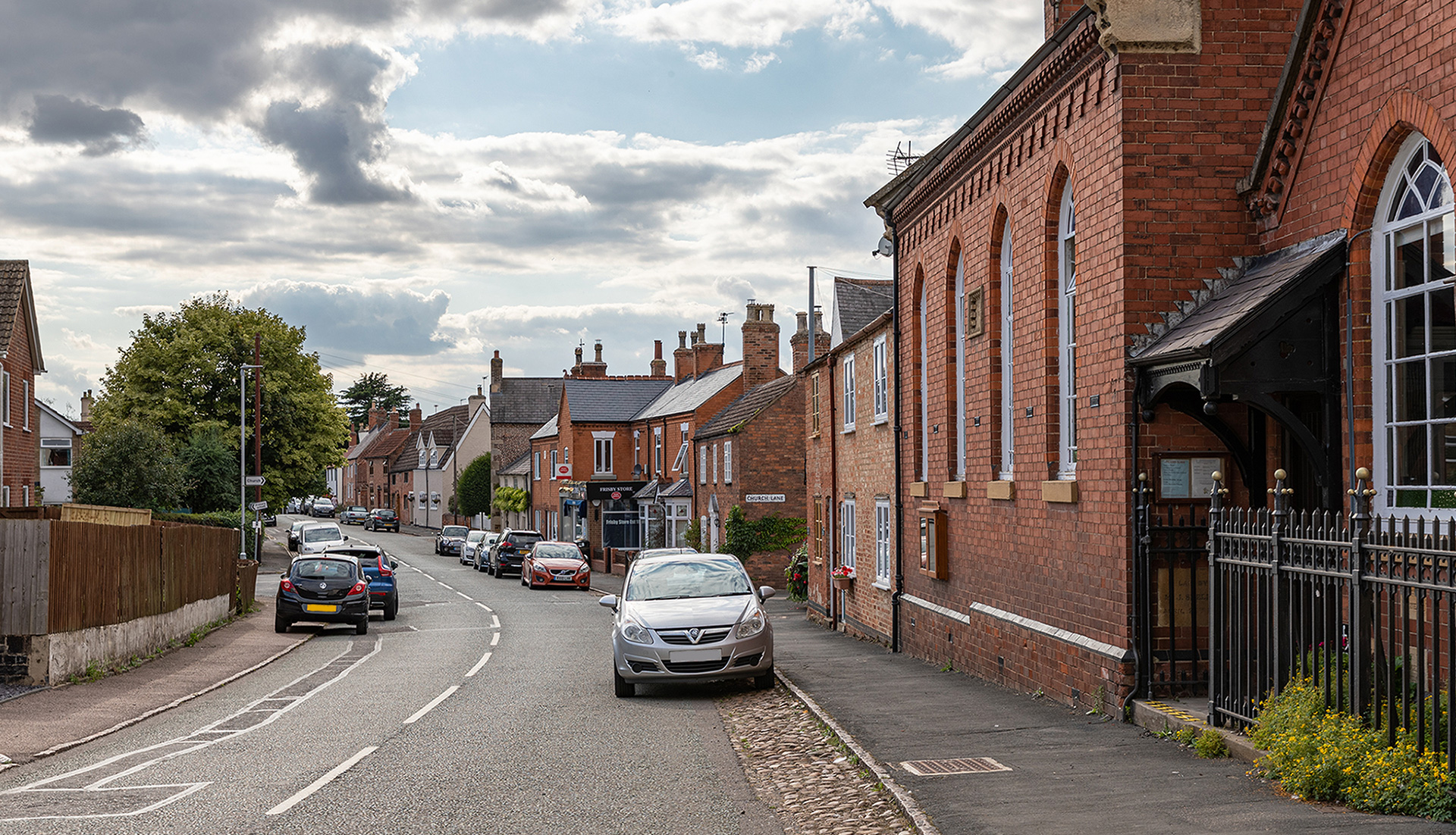
On the right hand side between Hollow Lane and further up to Church Lane, there are a series of interesting buildings. The farm on the corner of Hollow Lane, known as Moss Deeping, is one of the oldest buildings, with on the roadside, particularly fine ashlar stonework. Next door, Tudor Cottage, a single storey house, has doors set well below the level of the present road. The shop, next to the Old Bakehouse, is one of two remaining in the village.”
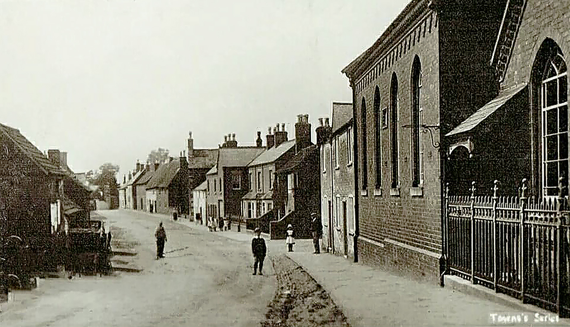
On the far right is the Methodist Church. The foundation stone of the present building was laid in 1885. At the end of the 1990s the chapel was extensively and tastefully refurbished inside. The chapel sparked Louise Burke’s memories: “The porch of the church was the girl’s shelter waiting for the school bus when the weather was bad. Many times the boys sheltered at the post office door and phone box . It was the Barrets bus to Sarson High School, King Edward VII School and Long Field Academy, all three in Melton Mowbray. That was 1981 to 1986. When it snowed we went home as no bus came.” Liz Brooksby Holmes added: “And sometimes if we didn’t what to go when it snowed, we used to hide down the side of the Methodist Church so we could get more sledging in.”
Church Lane
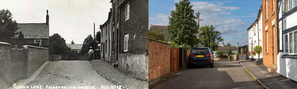
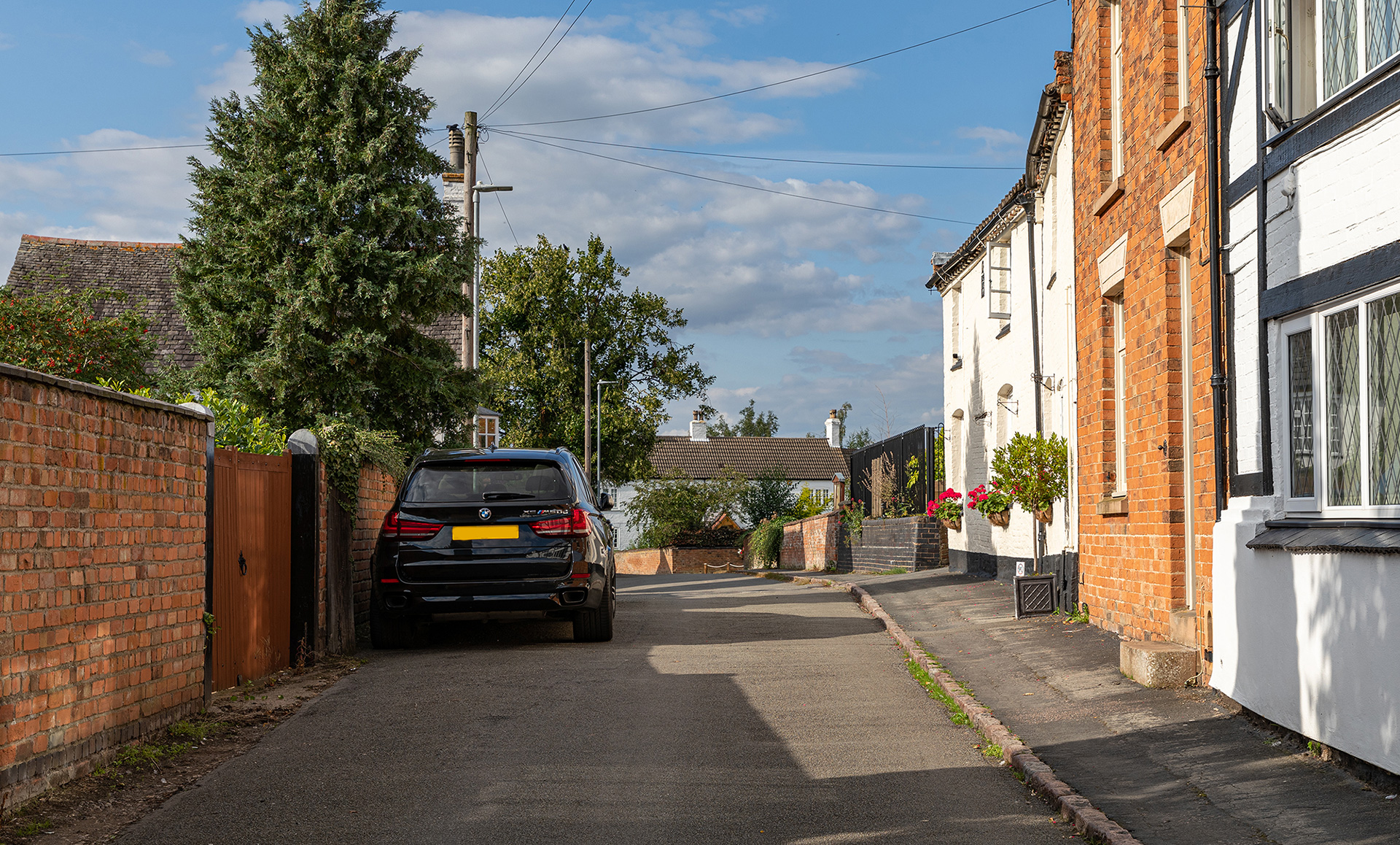
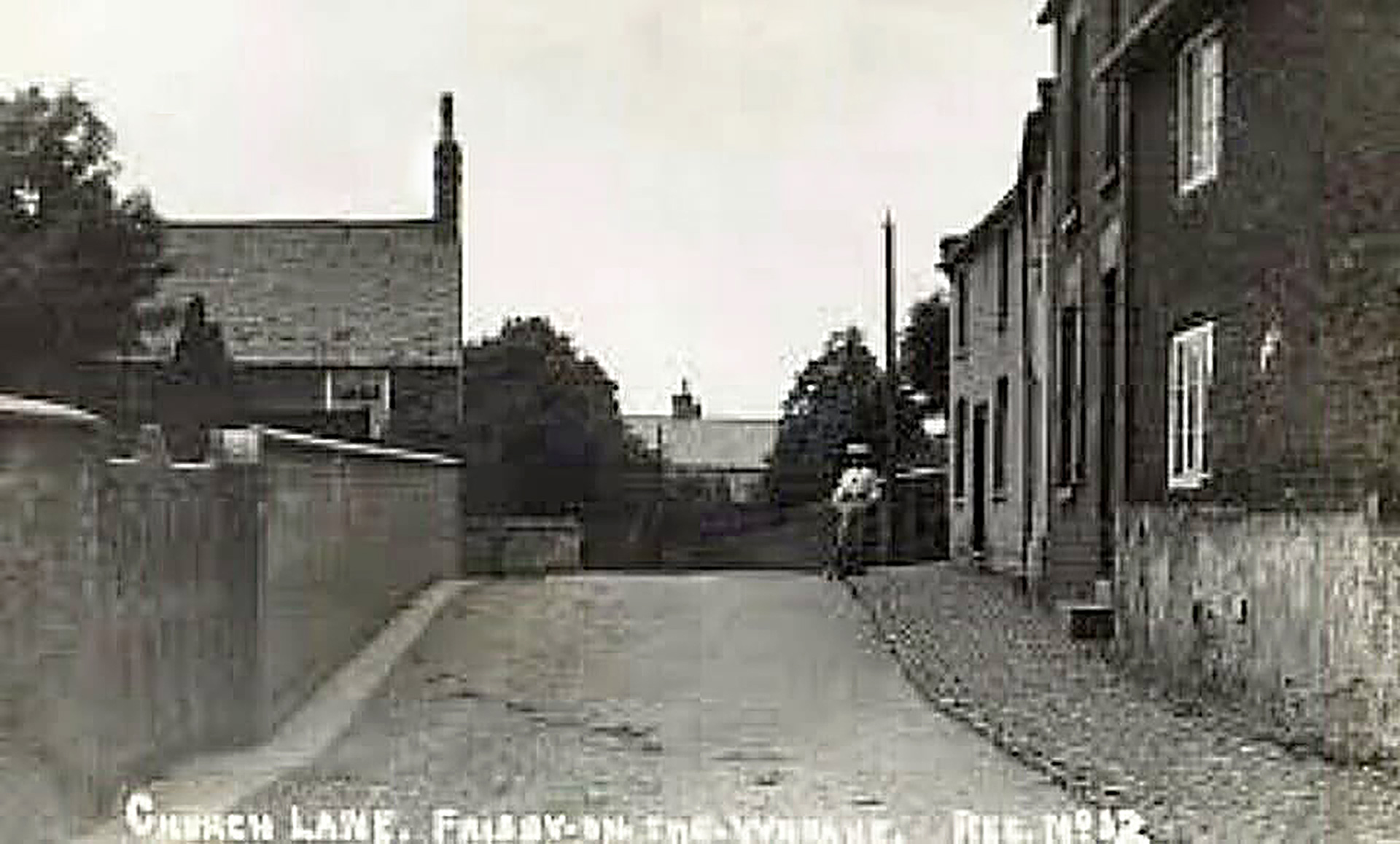
Left stands Yew Tree Cottage. Behind lies Glebe Cottage, a thatched roof house, which is one of the oldest properties and an original farm.
On the village
The parish was enclosed in 1760 when the tithes (one-tenth part of something, paid as a contribution to a religious organization or compulsory tax to the government) were commuted. The 400 year old tithe barn at Gables Farm is the oldest building, apart from the church, which was built between 1200-1500 and is dedicated to St Thomas of Canterbury.
Until the mid-19th century, Frisby was served by the Wreake Navigation which in the main followed the course of the river. Its popularity waned with the advent of the railway in 1846 and the locks soon fell into disrepair.
More pictures
Domesday Book
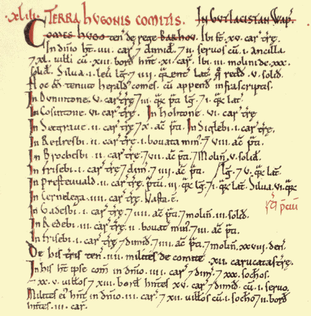
Frisby[-on-the-Wreake] was a settlement in Domesday Book, in the hundred of Goscote and the county of Leicestershire.
It had a recorded population of 10.7 households in 1086, putting it in the smallest 40% of settlements recorded in Domesday (NB: 10.7 households is an estimate, since multiple places are mentioned in the same entry).
Land of Earl Hugh (of Chester)
- Households: 77 villagers. 31 freemen. 28 smallholders. 2 slaves. 1 female slave.
- Ploughland: 12 lord’s plough teams. 29.5 men’s plough teams.
- Other resources: Meadow 40 acres & 3 * 2 furlongs mixed measures. Woodland 6 * 9 furlongs. 6 mills, value 2 pounds 12 shillings and 2 pence.
Owners
- Tenant-in-chief in 1086: Earl Hugh (of Chester).
- Lords in 1086: Earl Hugh (of Chester); men-at-arms, four.
- Lord in 1066: Earl Harold.
One response to “Frisby-on-the-Wreake”
I currently live in the house (now Garden Cottage on Wellfield Lane) on the left of your very last photograph “View on the village from the station”. The low building in the centre was the stables to our house with the servant’s quarters behind, now these are combined to make a separate house (The Nook, Wellfield Lane). I would really like to know where you found this photo, as I am keenly interested in the history of our house. I have an image of an old photo showing Church Lane and the front of our house on Wellfield Lane, it was probably taken from the church tower around 1900 at a guess. It shows the lovely thatched cottages in The Butts which are now demolished.